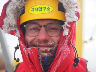
My name is Carson Witte, and I have been on this ship since before Halloween. Wait – this cruise did not start until late November! Why have I been onboard longer than most of the crew, and what have I been doing? Well, here’s the story…
Combining Datasets
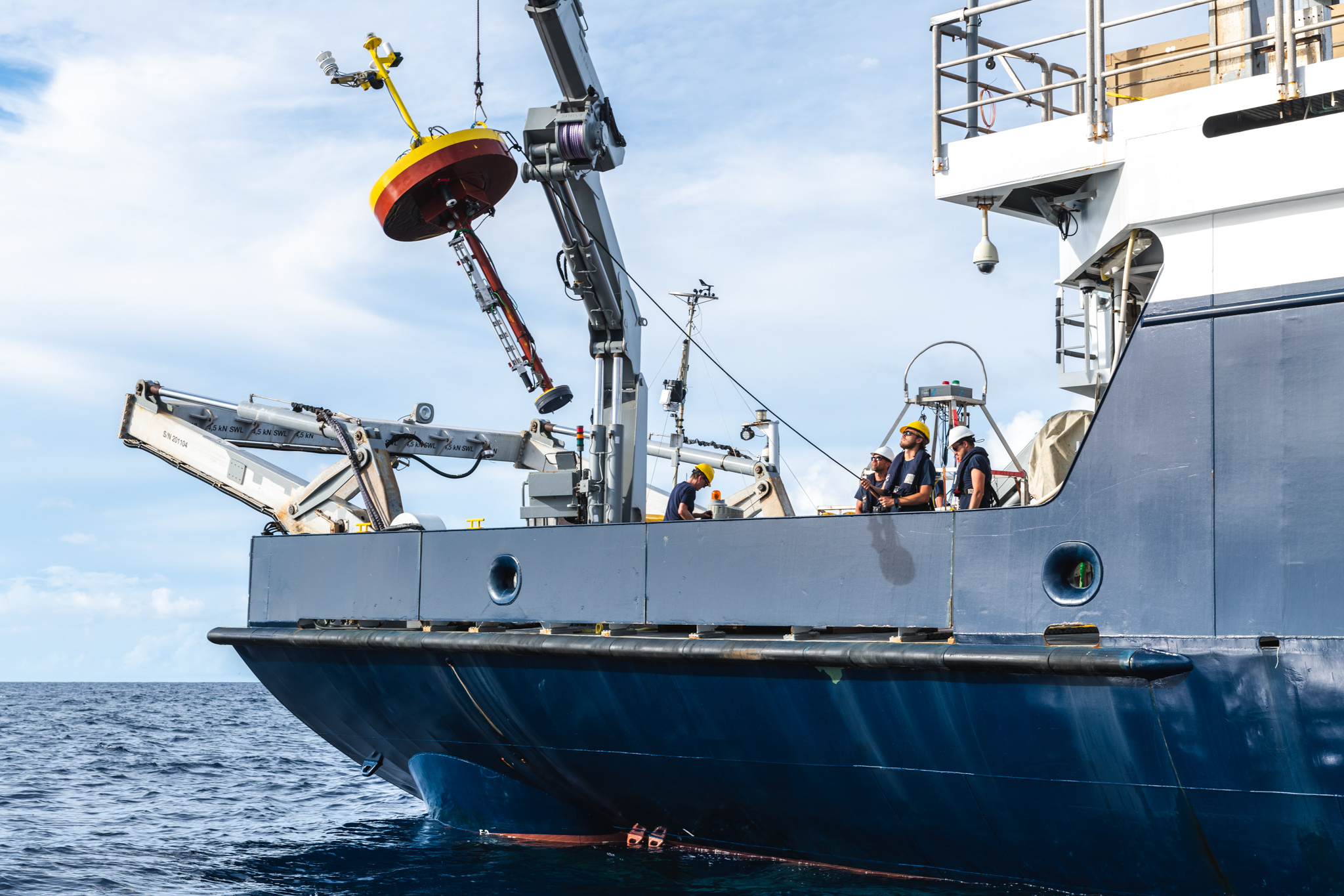
The headline feature of this research cruise is our UAVs (Unmanned Aerial Vehicles), that provide us with an unprecedented combination of wide spatial coverage and very high resolution in the myriad of measurements we are making of the ocean surface and atmospheric boundary layer. What you may not have realized is that for every sensor on each payload that we fly, there is also an analogous sensor taking measurements here on the ship. By combining the measurements being made by the UAV (across a wide area) to measurements being made continuously from a stationary (well, almost stationary!) position on the ship, we are able to paint a far richer picture of the processes underway in our study area than would be possible with just one type of measurement. Furthermore, whether the sensors are mounted on UAVs or Satellites, there is limited information that can be gathered remotely about what is going on below the ocean surface. So we also use the SPIP (Surface Processes Instrument Platform) buoy, along with regular CTD casts, to tie our remote measurements to in-situ measurements of the subsurface ocean. In the end, all of this results in an exceptionally high-resolution dataset that spans all three dimensions over a month of observations.
Pre-Cruise Preparation
This was an ambitious plan, and it meant that there was a great deal of instrumentation that needed to be installed and tested before ever putting a UAV in the air. In order to accomplish this without eating into our precious cruise time, I boarded R/V Falkor in Honolulu in late October with all of our gear, and spent the transit to Fiji clambering all over the ship installing systems and routing their data outputs through the ship’s network to be stored on computers in the dry lab. Along the way, I got to participate in my first equator crossing as a Shellback – having been naught but a slimy pollywog when I crossed the equator onboard Falkor in 2016 – and reconnect with old friends from that 2016 cruise. By the time the full research team joined me in Fiji, we were happily acquiring continuous measurements of waves, air-sea exchange of heat and CO2, sea surface temperature, solar and infrared radiation, and surface turbulence. And my personal pride and joy, SPIP – affectionately referred to as “the spipsta” and “spippy” by various crew members – was built and ready to go. It has now survived over 20 deployments, making high-resolution profiles of temperature, salinity, dissolved oxygen, currents, and turbulence in the upper 2 meters of the ocean any time that a UAV is in the air. Whenever we find a slick, SPIP is there to tell us what’s going on beneath the surface.

Friends have asked me how I can stand to be stuck on a ship for two months. And while I would be lying if I said I was not ready to get off next week, the reality is that I have enjoyed myself enormously. Sure, I may be slowly melding with the hull and growing barnacles between my toes, but there’s no doubt that it was worth it. After all, it takes time to do good science, and it takes time to build real friendships – I have been given the gift of enough time to do both while onboard. Departure will prove bittersweet.