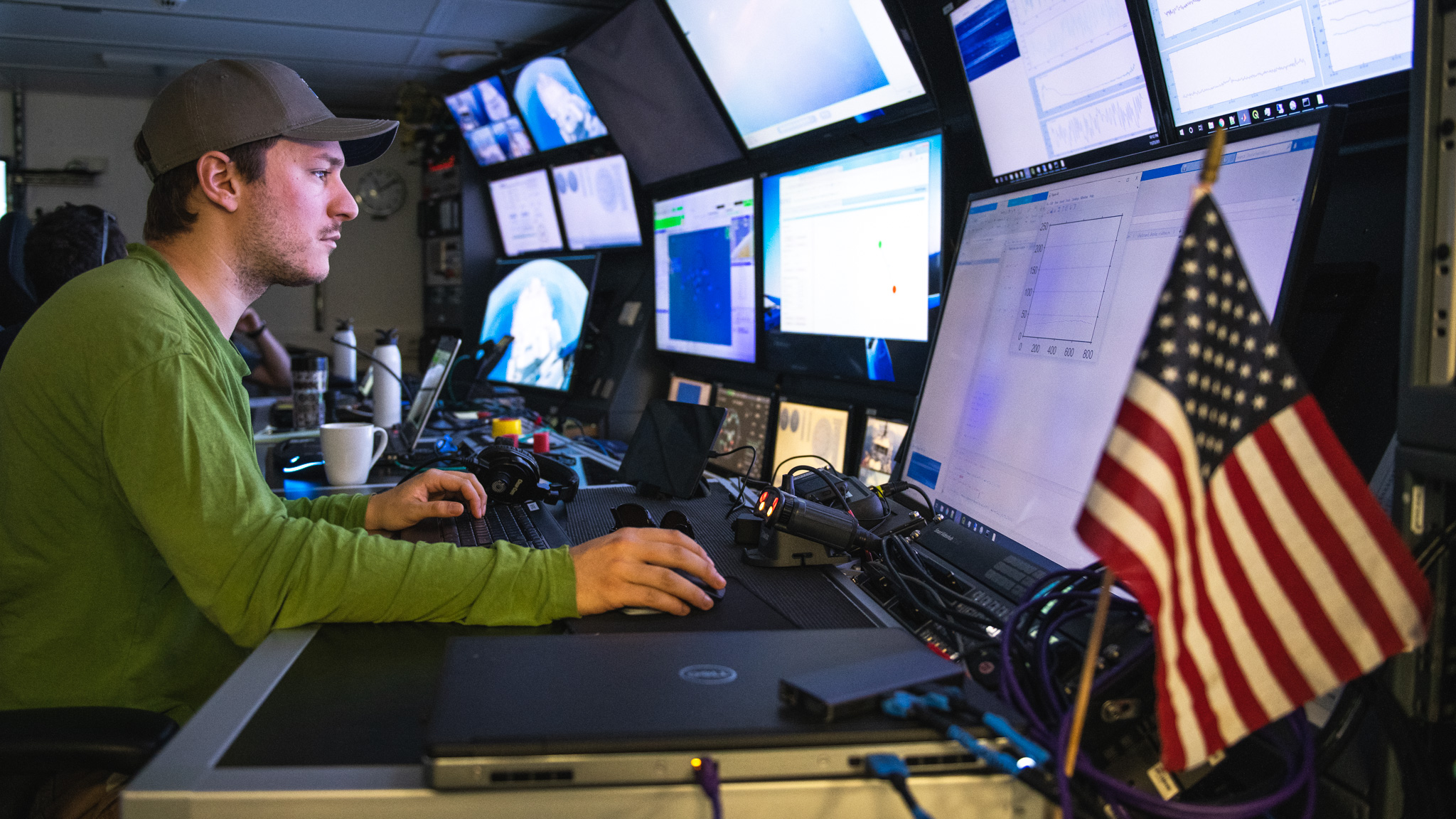
My name is Nathan Laxague, and I am a postdoctoral research scientist working with Christopher Zappa of Lamont-Doherty Earth Observatory at Columbia University. Our group is primarily interested in physical processes which occur near the air-sea interface and drive the transfer of momentum, heat, and mass across that boundary. Often, this work involves the measurement of fluid velocities (i.e., wind or currents) and such physical properties as temperature, humidity, or salinity. By interpreting these measurements through the lens of fluid mechanic and thermodynamic theory, we are able to construct an accurate representation of the processes which are driving air-sea exchange over our domain of observations.
For this expedition, we are investigating the role of the sea surface microlayer (and its microbial inhabitants) in mediating air-sea heat flux. The thinness of this layer (approximately 1 millimeter) makes measuring its physical properties quite challenging.
The Perfect Tools for the Job
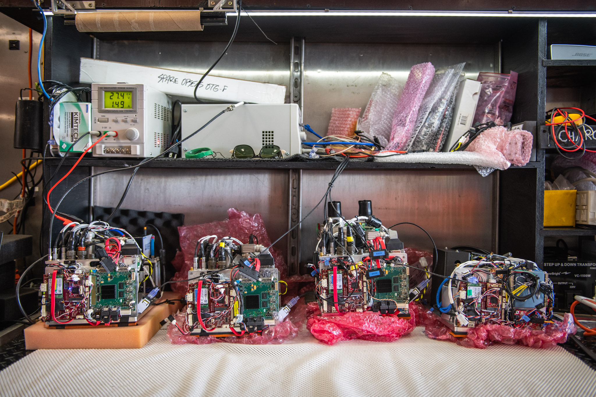
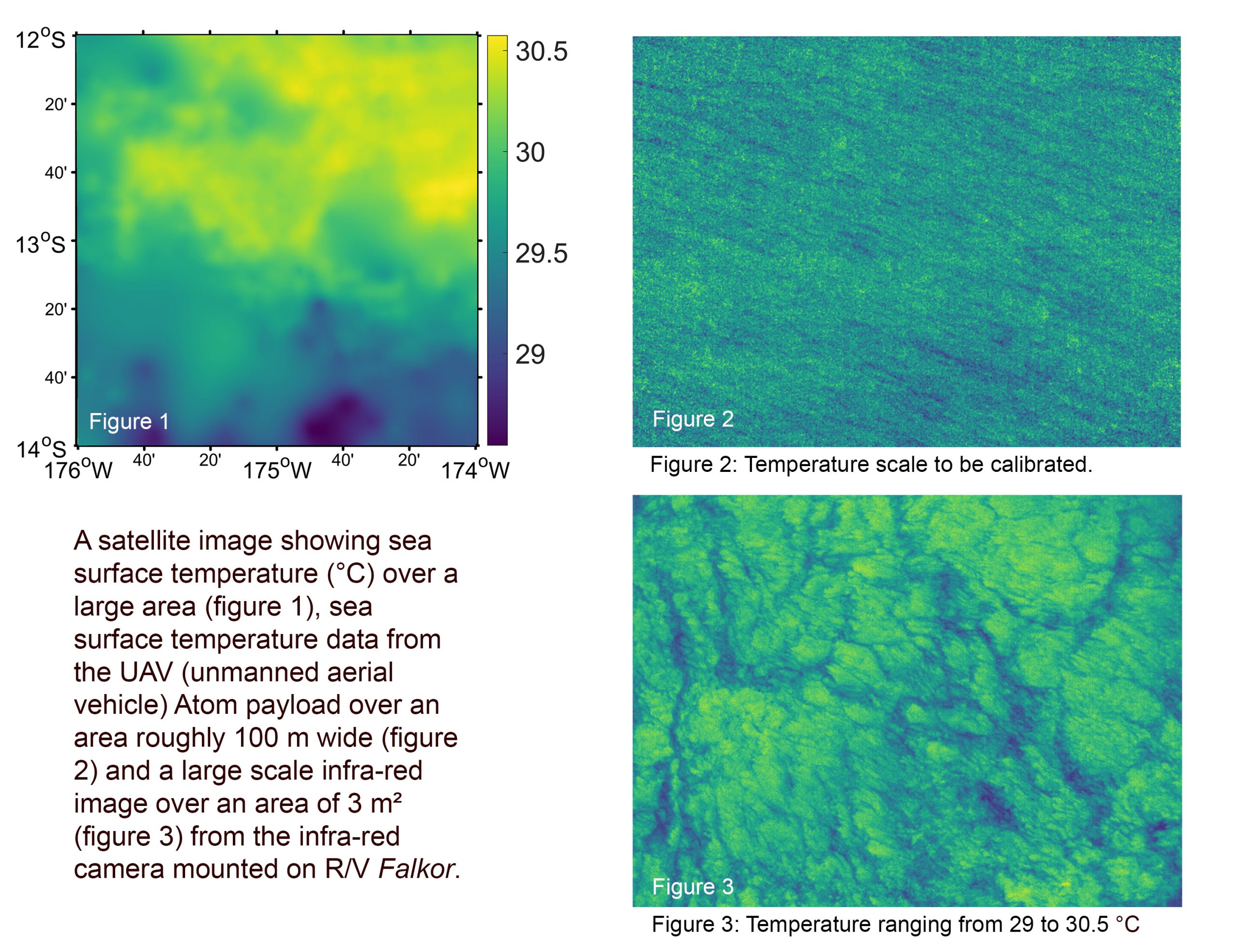
One of the properties that is especially relevant here is the sea surface temperature (SST). Our principal tool for measuring this property is infrared thermography: the passive sensing of electromagnetic radiation in the infrared wavelength range. Water is highly opaque to infrared radiation, meaning that the infrared radiation observed from above the ocean surface will be originating from its nearest-surface layer – in fact, the upper hundreds of microns. As infrared cameras and thermometers are purely passive sensors which do not disturb the delicate microlayer, they are the ideal tools for measuring the SST.
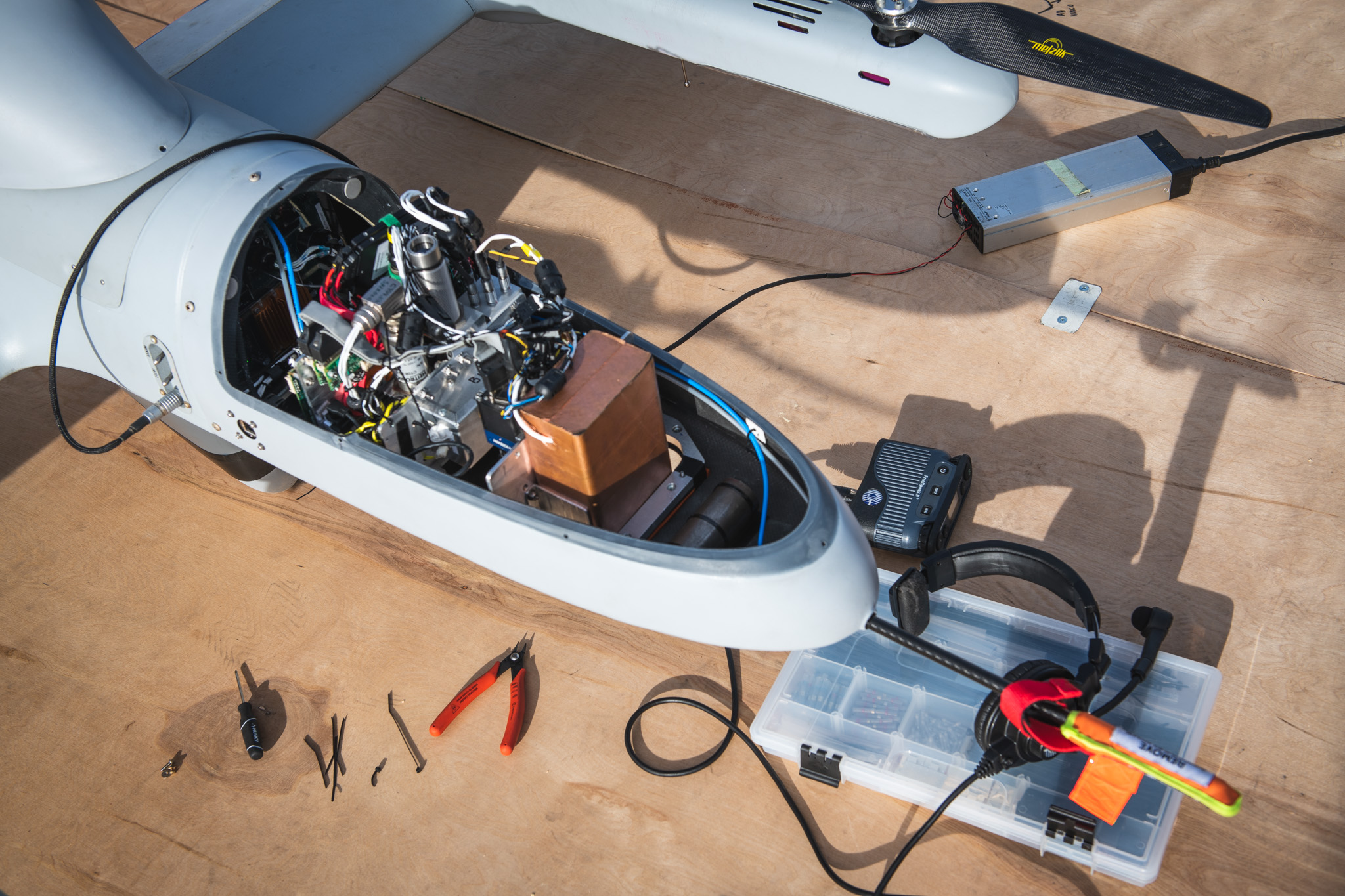

At the large scales observed by satellite-based sensors (global coverage, spatial resolution of ~1 kilometer), the SST provides an indicator of the mean ocean warmth, allowing us to guide the ship’s transit towards regions of particular interest. At the smaller scales sampled by our UAV-based imaging system (kilometers in coverage, spatial resolution of ~10 centimeters), SST provides us with information about the shape and extent of sea surface slicks or the nature of meter-scale ocean thermal processes, like the wave-driven Langmuir turbulence. At the smallest scales sampled by our ship-based imaging system (meters in coverage, spatial resolution of ~1 centimeter), SST gives us information about specific slick thermal properties or the characteristics of individual wave breaking events.
More to Come
We are nearing the halfway point of our expedition, and I am extremely excited by the nature of the measurements we have made thus far. This project is a wonderful opportunity for bringing cutting-edge observational technology to bear on the problem of better understanding earth’s oceans.