Submerged microcontinents, magnetic wiggles, hidden currents, microplastics, and seabirds- There is much to learn out here at sea.
The depths of the ocean – from the water column to the seafloor – remain elusive. Advances in ocean technology led to an acceleration of our knowledge of the ocean, but systematic scientific exploration of the ocean is only around two centuries old. We are still groping in the dark. That said, we live in exciting times – it is only the beginning of the UN Ocean Decade. We have a whole raft of new technology available, and with more tech on the way, we will be better able to explore the vast unknown.
My name is Derya Gürer. I am currently a Lecturer in Earth and Marine Sciences at the University of Queensland, Australia and a crew member of eXXpedition. Together with my co-PIs onshore, Dr Helen Bostock and Dr Robin Beaman, and in collaboration with an interdisciplinary onshore team from Australia, Norway, and Israel, I am leading the 28-day R/V Falkor voyage “Seafloor to Seabirds in the Coral Sea.”
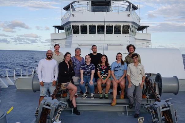
On my first voyage as Chief Scientist, I am fortunate to be joined by an enthusiastic team of emerging scientists from six Eastern Australian institutions, all on their first voyage into the open ocean. Our backgrounds are diverse, our expertise is interdisciplinary and we share a passion for the ocean. Falkor – our home for the month, is where we all work together with the ship’s crew and marine technicians.
We are also joined by an Artist-at-Sea, Lea Kannar-Lichtenberger, who is observing the science team and creating artwork inspired by the discoveries we make as we sail through largely uncharted terrain.
Our expedition focuses on the oceanic crust and currents of the North Tasman and South Coral Seas, the narrow connection between them in the Cato Trough, as well as the Kenn and Chesterfield Plateaux representing submerged continental crust of Zealandia – Earth’s hidden continent. The primary objective of this expedition is to create bathymetric maps of the seafloor. We will also chart currents and collect new marine magnetic data to understand the geologic history of the eastern Australian margin. The jigsaw of tectonic plates and their motion determines the shape and nature of the seafloor.
Other objectives are to filter the water column from surface to depth looking for the presence of microplastics. We will also observe seabirds – these highly adapted animals can act as an early warning of environmental change.

Listening to the ocean can take many shapes: onboard Falkor we are using a range of scientific instruments to generate arrays of sound pulses, or ‘pings’, of different frequencies that are processed and translated into 3D images of the ocean floor. Our ‘pings’ reveal the detailed underwater landscapes. Along our ship track we will also tow a marine magnetometer to record the Earth’s total magnetic field stored in basaltic rocks (rocks formed through volcanic activity) on the seafloor. Our magnetic recordings are contoured to show differences between magnetic intensities, which alongside other geophysical data, can be used to interpret the structure and rock characteristics of the ocean bottom.
We will also measure water column properties with a CTD (conductivity, temperature, density) instrument, and current velocities using the reflection of sound waves from particles in the water column using an ADCP (Acoustic Doppler Current Profiler). This provides information about the flow of the upper 750 m of the water column.
The natural environments of ocean, earth, and atmosphere are a single intertwined entity. On our expedition, we are examining all the layers of the ocean from the bottom, through the water column, all the way into the sky.