I am a Senior Research Fellow with the Centre for Marine Science and Technology at Curtin University in Western Australia. My research focuses on underwater acoustics and the marine environment, particularly mapping the seafloor habitat. I use a range of sensor technologies and platforms, from satellite imagery to echo-sounders on boats. I am very interested in developing technology and techniques that help better understand the world beneath the waves.
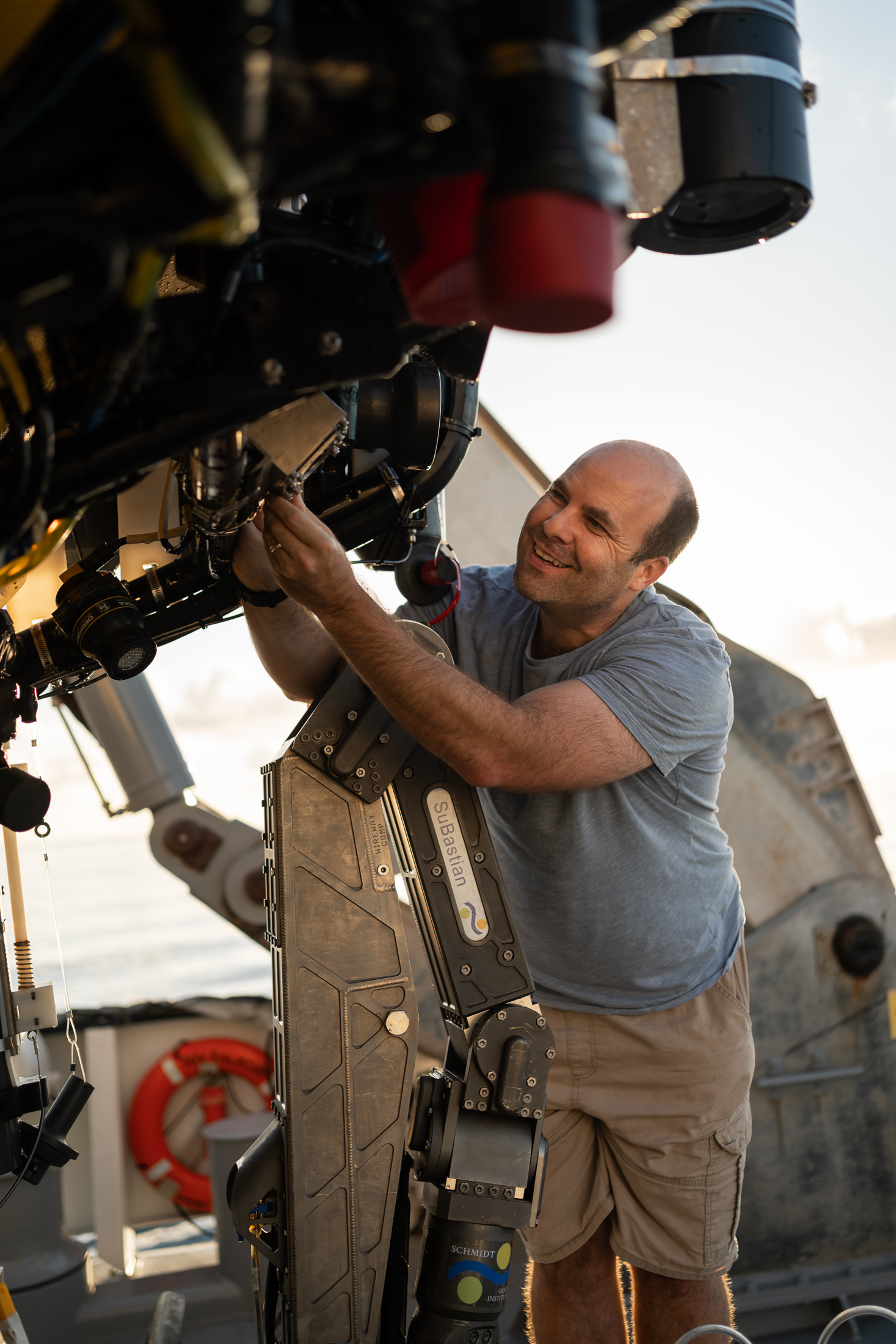
I am on board the R/V Falkor to produce maps that help inform where to look for mesophotic corals with the ROV (Remotely Operated Vehicle) SuBastian. The Falkor is equipped with state-of-the-art technology to map the seafloor. The main instrument used for this is a multibeam echosounder, which uses sound waves to produce a 3D map of the seafloor.
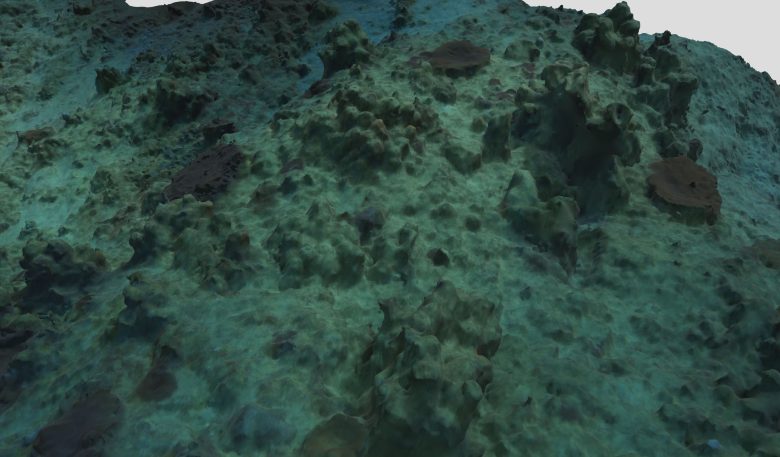
Once a map of the seafloor depth has been created from the multibeam data, it is analysed to identify areas to investigate with the ROV. The depth data can also be used to produce other useful map layers, like the seafloor slope and roughness. In addition, I also process the backscatter data from the multibeam. While the depth and slope layers reveal the shape of the seafloor, backscatter can be used to infer the seafloor composition. The term “backscatter” means the amount of acoustic energy “scattered back” from the seafloor relative to the amount transmitted by the multibeam. Areas of high backscatter indicate the seafloor is hard and/or rough, which might identify an area of interest for the team here to investigate with the ROV. Combining the depth, slope, and backscatter data is a powerful tool for identifying areas we expect to find coral.
In years gone by, the time to process and analyse multibeam data could take days. Thankfully, though, the computation power and sophisticated software now available, such as that on board the Falkor, means this process is almost done in real-time. For instance, on this trip, we are mapping areas around Ashmore Reef during the night and able to decide where to put the ROV in the same area that has just been mapped minutes before.

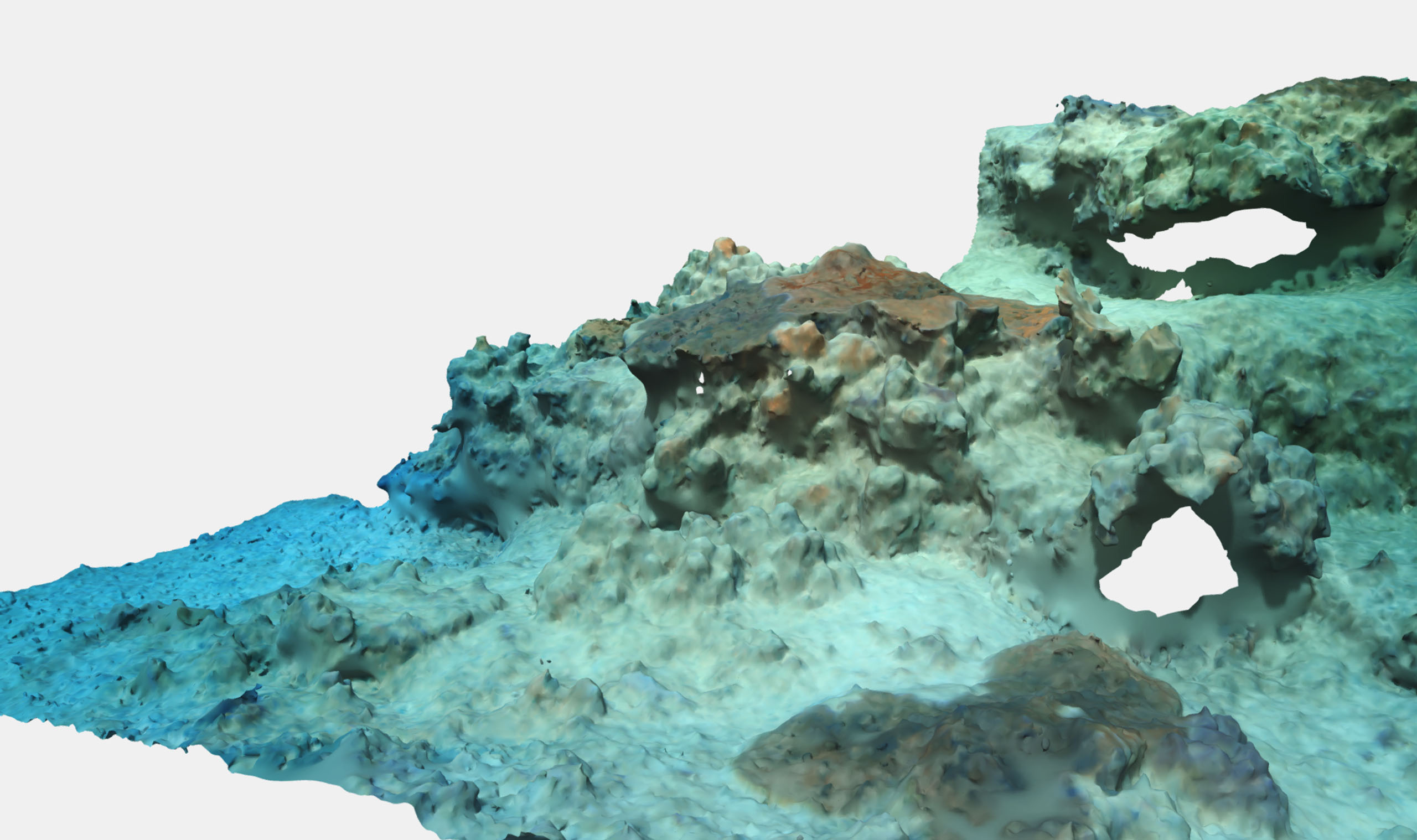
The data from the multibeam is very effective at mapping the seafloor the corals are living on. However, resolving the structure of the actual corals at these water depths requires a different approach. So, along with my colleagues at Curtin University, I am investigating the use of underwater photogrammetry for 3D reconstruction of the mesophotic corals and their surroundings. Curtin University has a team of researchers who are actively working in this field. Associate Professor Andrew Woods, the Manager of Curtin University’s Visualisation Centre (The HIVE), has developed specialised high-resolution deep-water digital still cameras for underwater 3D reconstruction work from ROVs. The 6,000 m depth-rated cameras were originally designed for use in shipwreck survey projects. In this expedition, a pair of the cameras have been fitted to the front of ROV SuBastian and are controlled from the surface via an Ethernet connection. This allows JPG and RAW images to be uploaded to the surface in near real-time. Curtin University’s Dr Petra Helmholz and Dr David Belton, from Curtin University’s Discipline of Spatial Sciences, are experts in the field of photogrammetry. Together, we have been working collaboratively on a variety of different interesting projects, including shipwreck imaging for maritime archaeology, seafloor habitat mapping, and monitoring coral reef growth—all intending to optimise the 3D reconstruction of the marine environment.
Using photos to make 3D measurements (i.e., photogrammetry) has been around almost as long as the invention of photography. Recent advances in computer vision and spatial science have made the production of complex digital 3D models from photographs much quicker. However, taking photographs in the mesophotic zone is challenging. There are low levels of ambient light, and there can be some challenging, complex structures to image, including the corals themselves. To try to overcome these challenges, two of the Curtin RX0 Cameras have been fitted to SuBastian by the experienced Falkor ROV Team. The combination of the cameras excellent low light performance and additional lighting from the ROV have helped overcome the low levels of light. Furthermore, this trip allows us to experiment with the optimum orientation of the cameras to best capture the complex structures and refine the photogrammetry calibration at depth.

By integrating the multibeam seafloor maps with targeted photogrammetry to produce georeferenced digital 3D models, we aim to visualise the mesophotic region around Ashmore Reef at different scales. These data complement each other and provide a great reference point for future monitoring of the Ashmore Reef, and will also allow anyone a chance to view what lies beneath the waves at this important but hard to access marine park.
Experience the 3D model on sketchfab.com