Did you know that even on the calmest day, the sea surface is not as flat as it seems? The sea level at a given spot actually mimics the bathymetry of the ocean floor ever so slightly. Where there is a seamount or other feature below there is a tiny bulge in sea level above. This is due to a change in gravity. The seamount is a source of excess mass under the water compared to the seafloor around it. The more mass an object has, the greater its gravitational attraction.

This slight excess gravitational attraction pulls more water over the seamount generating this bulge. You’ll never see it, but satellites can measure these miniscule fluctuations, and this is the data used to create the rough seafloor maps that are the best available for most of the ocean. But gravity can also tell us much more.
Going Deeper
If you really want to understand what’s below the sea surface those rough maps are just a start. The images we showed you in the last blog of Wentworth and Woollard Seamounts exemplify this concept. They appear smooth and undefined in the before image, and once mapped their beautiful details emerge. If, for example, you want to find and explore new deep coral reefs using a remotely operated vehicle, you simply can’t do that effectively without the higher resolution maps.
But even those very high-resolution maps we can now produce thanks to Falkor’s sonar don’t tell us everything we need to know. Data from the gravimeter we’re using can fill some of the gaps. Gravity is one of the four fundamental forces in the universe ever since the Big Bang. Aristotle took his try at describing it, Galileo Galilei (the gal, a unit measure for gravity, is named after him) tried to measure the acceleration of gravity, and Isaac Newton refined the mathematics. What we’re doing is applying all that work and everything that’s come since. In other words, by standing on the shoulders of giants, we are able to see further—or in this case deeper—and use what’s now known about gravity to peer beneath the seafloor.
The Mysterious Crater
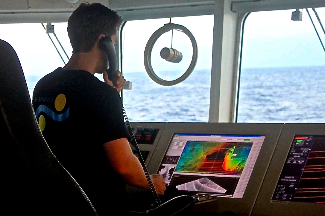
Our last blog talked about an enigmatic crater on the seafloor at the southern end of the Papahānaumokuākea Marine National Monument. As we transit over the top of such a structure, Falkor’s amazing ability to collect multibeam sonar images of the seafloor can actually generate more questions than it answers. Gravity data can answer some of these questions about curious features we see. For instance, if that crater, near Maro Reef, has the same origins as its counterparts on the island of Hawai’i, there should be a magma chamber beneath the crater floor. There, in ancient times, heavy minerals would have crystallized before eruptions and accumulated on the magma chamber walls and floor.
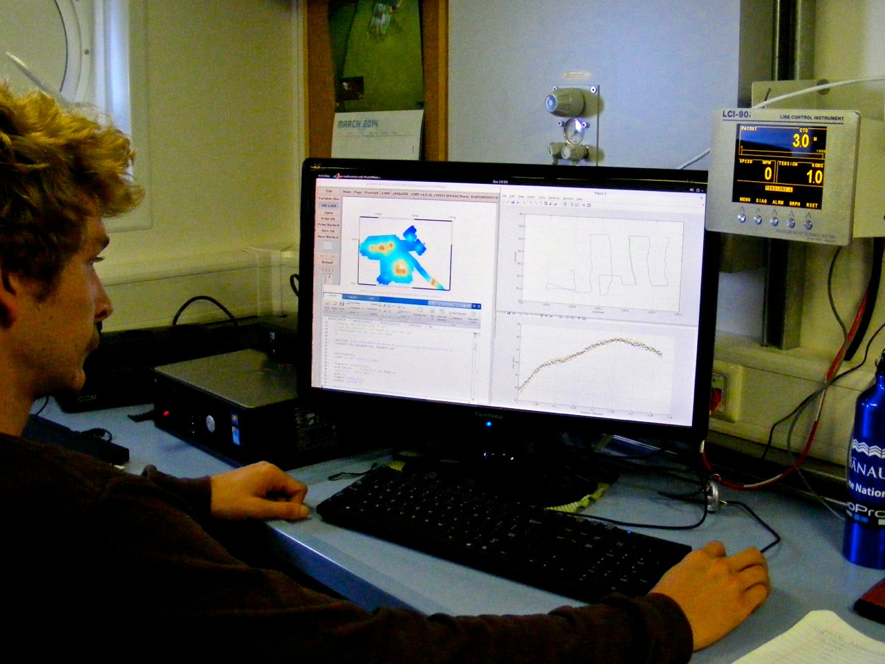
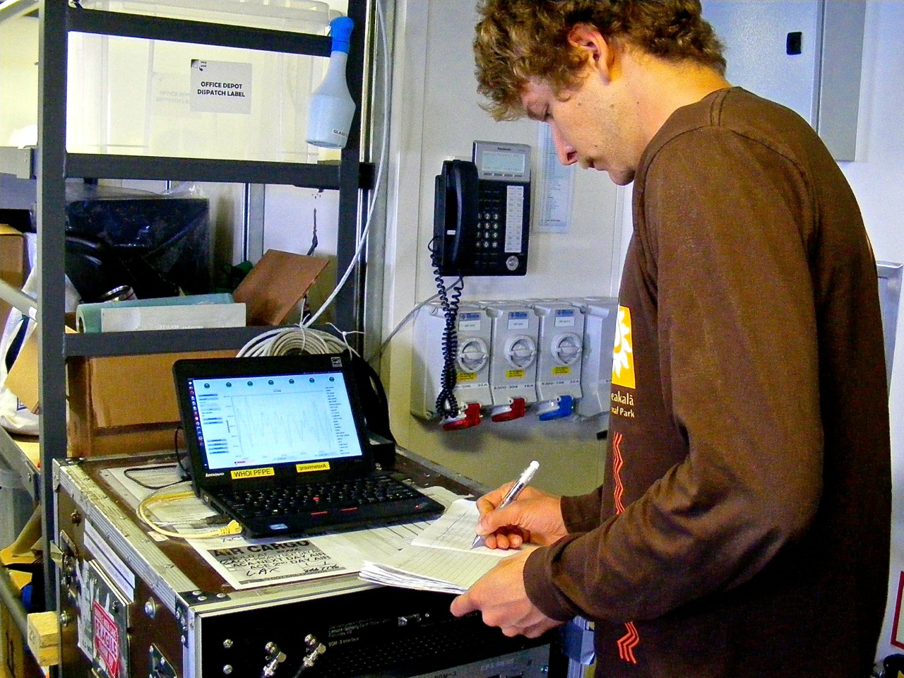
There’s nothing we can do with the sonar to spot such a hidden magma chamber. But because they are filled with denser material, magma chambers have a different gravity signature from other structures that we can detect in the gravimeter data. Brian Boston and I are working now to process that data so we can figure out what it reveals. In a later blog we’ll tell you more about how we do that, and what else gravity data can tell us.