Search Results for
Log Post: No backing out now!
At some point, whenever you are a chief scientist, there is a moment when you suddenly realize that the focus is about to be all on you for a while. Once upon a while you wrote a proposal. Some friends of yours thought it sounded harmless enough that they would lend their names (and ideas) … Continued
Log Post: Getting Ready
Today was a quiet but busy day. All the scientists had arrived by the end of Monday and all the remaining science gear showed up at the ship during the course of the day. [Actually, all but 3 boxes from FedEx due on Wednesday, but we’re convinced all is on track for departure, Thursday at … Continued
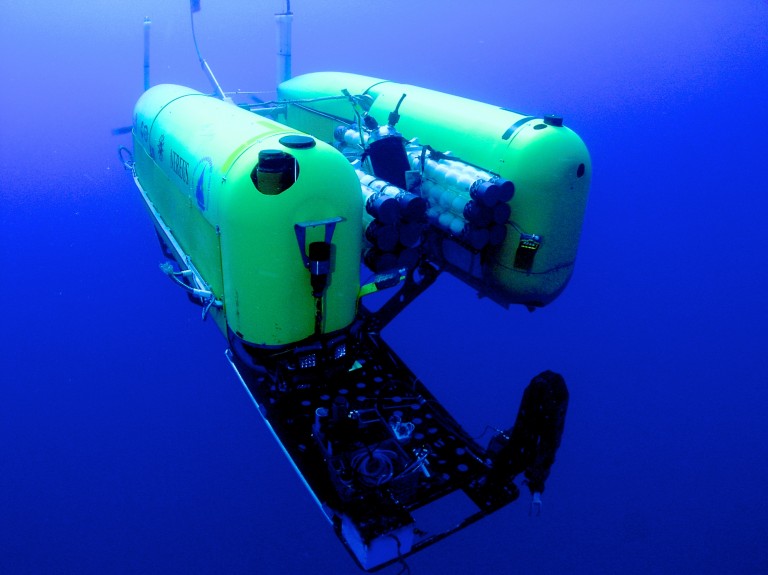
Log Post: Memorial Day
We had a rather quiet day on the ship today with all the Nereus team members working away at getting Nereus further prepared for departure. In the morning James, Mike and I met with the Captain to plan ahead for the first few days of science operations after which I took an hour to get … Continued
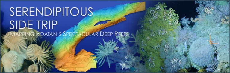
News: Serendipitous Side Trip
The Falkor team completed the first-ever high-resolution map of deep reefs near the island of Roatan in Honduras. This new resource can be used for many purposes, including to aid future research in the area on the corals and other animals found there, as well as also enabling increased conservation of the reefs. When Dr. … Continued
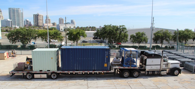
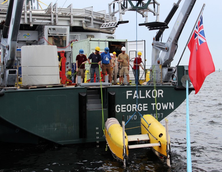
Log Post: Mobilization
While our cruise doesn’t set sail until Thursday, and most of the science team are not due here until Tuesday, there has been plenty going on aboard RV Falkor already to get prepared for our expedition. Sunday morning, 8am: arrived at the ship last night, crashed out and was awake in time for breakfast and … Continued
News: Nature Features Falkor and The Schmidt Ocean Institute
March 27, 2013 – Nature published a feature article and an accompanying editorial about R/V Falkor and Schmidt Ocean Institute.
Log Post: Captain’s log from March 23, 2013
Time of observations / report: 23rd March 2013 – 12:00 LT (UTC – 4) Position: 22-52.8-N, 090-11.9-W Course and speed: Courses various whilst mapping survey line, speed 8 kts Sea condition: 4 (moderate) – Short Moderate SE’ly Weather (current and forecasted) – Wind SE’ly 6/7 Air temp: 25.4 C Water temp: 24.3 C Operations narrative: … Continued
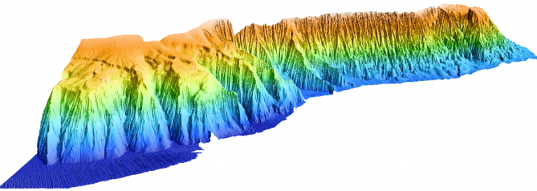
Log Post: Increasing resolution
The Falkor’s first science cruise is focusing on mapping the Campeche Escarpment between water depths of 400 m to its base at 3700 m. The capability of the Falkor’s multibeam sonar is clearly illustrated by comparing the previously available bathymetric data with the new bathymetry. Figure 1. The best bathymetric data available at the time … Continued
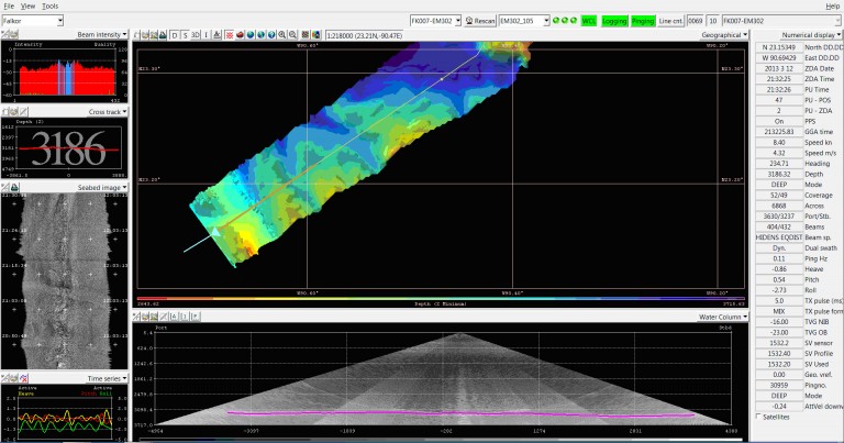
Log Post: Seafloor mapping continues
Mapping of Campeche Escarpment reminds us that hydrographic surveys may not be as ‘glorious’ as some other types of ocean research, such as, for example, ROV operations, however, seafloor maps are extremely important for all ocean disciplines. ROV pilots won’t dive these days without seeing a map of the site first. Satellite maps available for … Continued