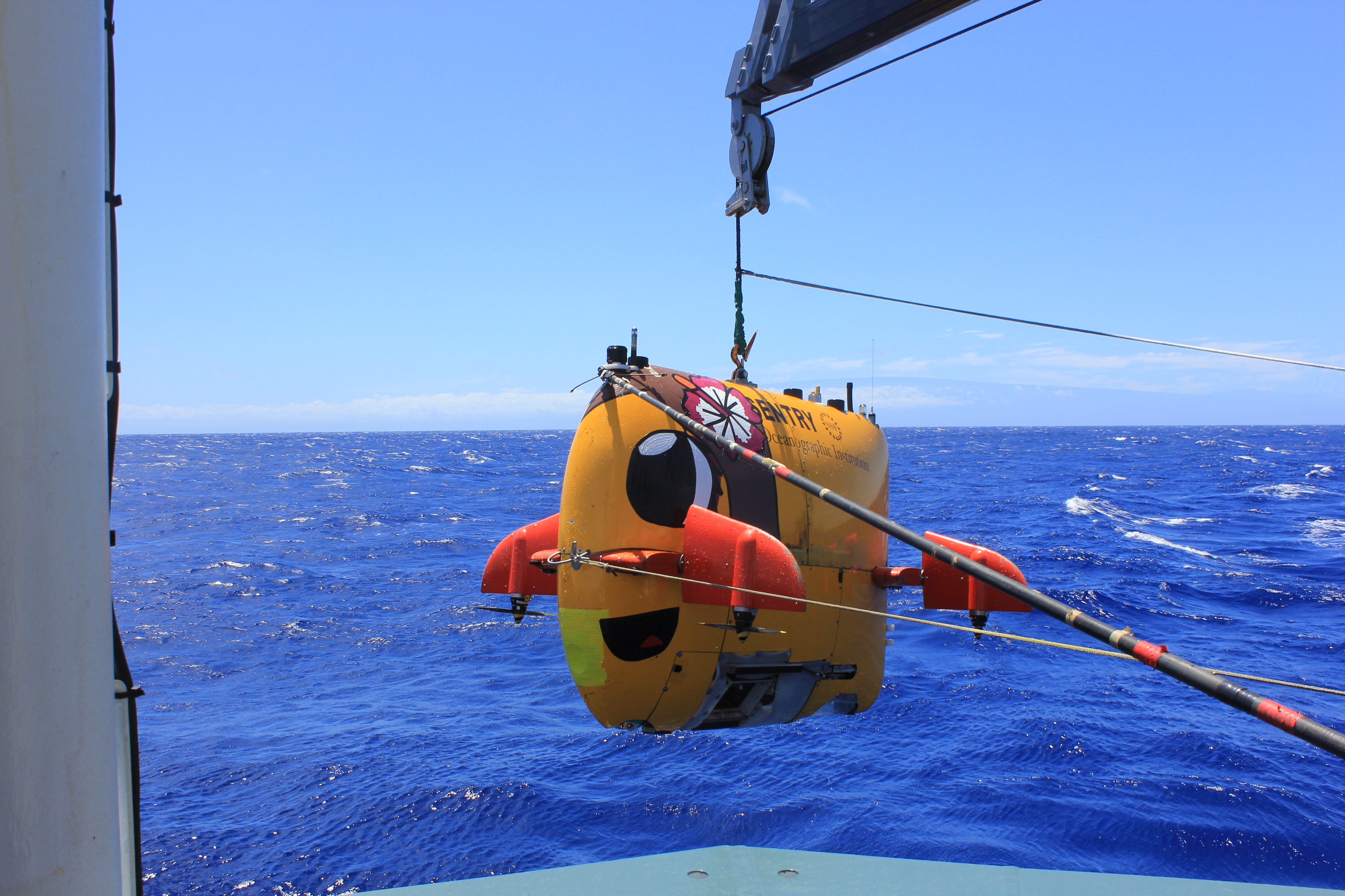
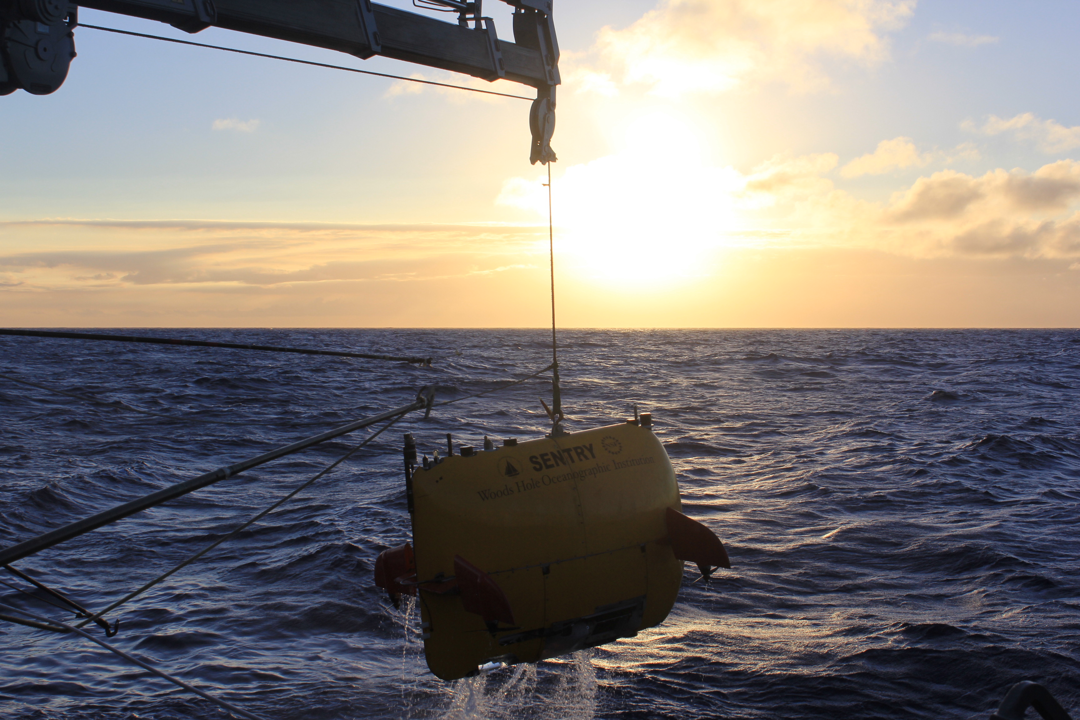
By this point you should be intimately familiar with the star of our cruise, AUV Sentry. Sentryis primarily a survey tool, and like most Autonomous Underwater Vehicles (AUV’s) Sentry’s main mission is to collect data about the ocean bottom.
In addition to many other types of information, Sentry collects several types of sonar data, photographs, and even records about the chemistry of the water such as how much energy is available for microbial life. The best part of all of this, is that Sentry can tell us exactly the location of where all this information is from. Using sophisticated sonar tracking devices, Sentry is able to keep track of its position in relation to the ship. In addition, Sentry also uses sonar that tracks the velocity of the ground under the vehicle, which tells it when it is moving and how much. It also uses an inertial navigation system that works a little bit like the inner ear of humans, but a thousand times more accurate.
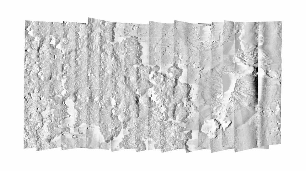
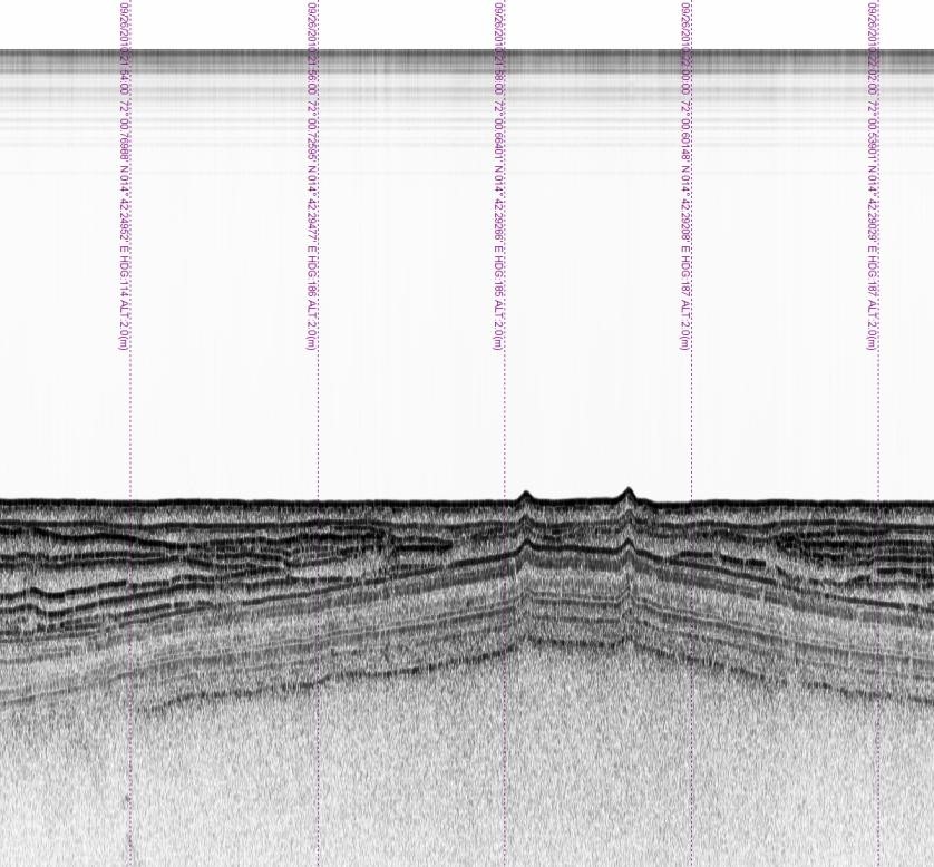
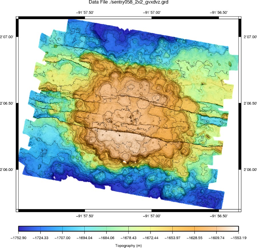
Many of Sentry’s mission are to map the seafloor. This is accomplished using a sonar called a multibeam echo sounder. This sophisticated sonar creates detailed maps of the seafloor much like the topographic maps that people carry when hiking. Another type of sonar that Sentry carries is called a sidescan sonar. Unlike the multibeam echo sounds that detect the shape of the seafloor, the sidescan sonar creates an “acoustic image” of the seafloor. A third type of sonar whichSentry commonly carries is called a sub-bottom profiling sonar, this sonar looks at the layers of the sediment below the vehicle (like x-ray vision). The image shown here is from a mud volcano and the layers are the different mud flows that have occurred over time.
In addition to sonar data, Sentry also routinely collects photographs of the seafloor. This provides detailed images for small areas that it passes along the way, compared to the wide high-resolution mapping images provided by the sonar. This is important for this project so that scientists can compare instruments and images of locations that have been previously sampled at Loihi. Additionally, Sentry’s sensors provide information on the ocean water in these deep areas including temperature, eH (how oxygenated the water is), and optical backscatter.
All this information combined presents a full picture for scientists, allowing them to better understand these far away environments 5000m below the surface. Sentry judy entered into the water for her last dive of the excursion. This will make seven dives on this expedition providing invaluable maps, photos and data of all the deep areas of Loihi such as Shinkai Deep and FeMo Deep. More information about what types of data Sentry collects and how it is used can be found at http://www.whoi.edu/main/sentry.