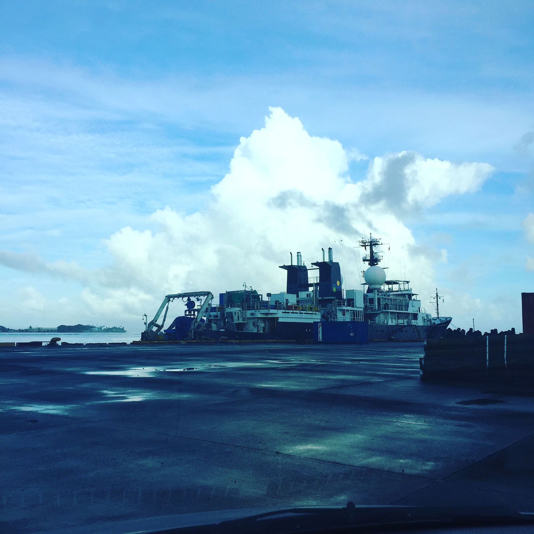
After forty-five hours of travel, I touch down in Apia, Samoa. A day on land to gain my bearings, then straight on to the wharf. After winding my way through a land of shipping containers, I see her, the Falkor, my new home and community. She will take me on a voyage I only day-dreamed about doing, and certainly not where I thought I would celebrate Christmas!
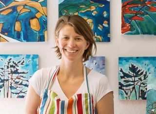
I am an artist with a background in cartography. This program on the Falkor – taking place while we map the Ellice Basin – affords me the incredible opportunity not only to revisit the technical aspects of mapping, but to learn an entirely new way of constructing a visualization of the planet’s surface. Entirely new, because aboard the R/V Falkor, that surface is 5 km underwater.
Purpose and Process
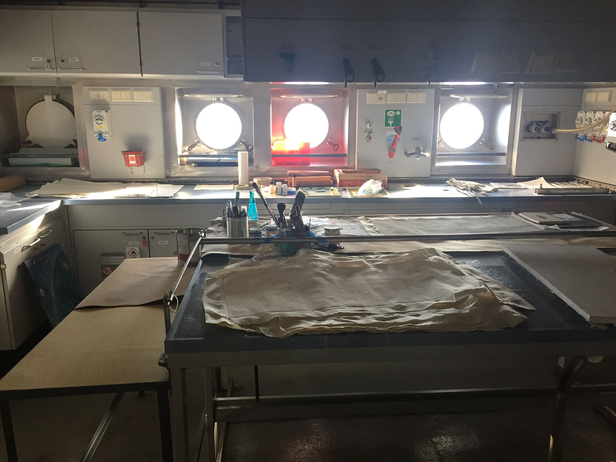
Over the next two weeks, I will be developing imagery — through drawings, paintings and anything else I can come up with — that helps to communicate the process and results of this research.
The process, multi-beam sonar mapping, uses an array of sound waves to measure the distance to the ocean floor. This steady pulse of 432 beams is emitted from the bottom of the boat every eleven seconds. As the sound waves return within this time frame, their round trip time can be calculated into a precise depth of the waters below. At a depth of about five km, we can map a swath approximately six km wide. As we travel along our transit course, and into the Phoenix Island Protected Area, we start to accumulate a map of the seafloor behind us. This is only a rudimentary explanation of course, and I hope to gain deeper understanding over the next few weeks.
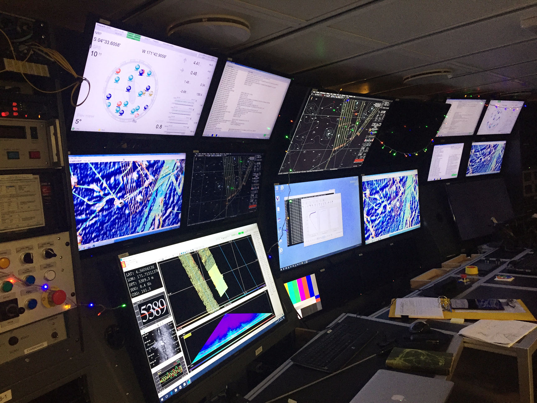
The results of this research relate to geology and the ancient spreading of the ocean floor. Dr. Brian Taylor is investigating how the seafloor was created by the spreading of ancient plateaus in the South Pacific. We are investigating patterns in the fracture zones that lie beneath us, as their directions and positions shed light on how the seafloor has been pulled apart over time. I have already amassed a pile of drawings, graphics, and sketches from Brian to help visualize his research, and I am excited to begin depicting this ancient, dark landscape of abyssal hills in watercolors.
Part of a Team
As for the crew, I hardly had a chance to learn names before we began trading stockings, exchanging gifts and singing carols together. Quite a bunch! Learning their stories is very much a part of my education at sea. I’m happy that members have started popping into my make-shift studio for quick chats about everything from the color of water (most striking for a New Englander), to working on container ships and manning submarines.
Lastly, I am a mother two little ones, and it is a vital part of who I am. An time away from home – out at sea to make art! – is hard to ask for and hard to pull off. I am full of gratitude for all those who are helping out to make it happen.
Schmidt Ocean Institute acknowledges and thanks the Republic of Kiribati and the Phoenix Islands Protected Area for their assistance and support of this research.