Maps and other visualizations of scientific study are artifacts of a particular perspective and cultural context. What they include, what they omit, and the technologies they utilize are often what distinguishes them as a part of particular conversation. These same traits can exclude the underlying information or story from being integrated into other human narratives. This is why I am interested in comparing human inquiry by reducing the visual manifestations to similar, simplified forms. When we remove some of the technological conventions, we can see the underlying patterns and ideas in a new or different way.
On this trip in the vast Pacific – an area larger than all the continents combined – I can not help but draw parallels between the navigation and mapping we are doing and the strategies of traditional navigation by the ancient Lapita people who are credited with populating the vast region of the Pacific (now home to the Micronesian and Polynesian cultures). While it is easy to categorize our pursuits as ‘science and technology’ and the Lapita techniques to be ‘historical and cultural,’ these are of course false categories created by a myopic bias, which can limit a broader understanding of human inquiry, and its overall trajectory.
Satellites and Stars
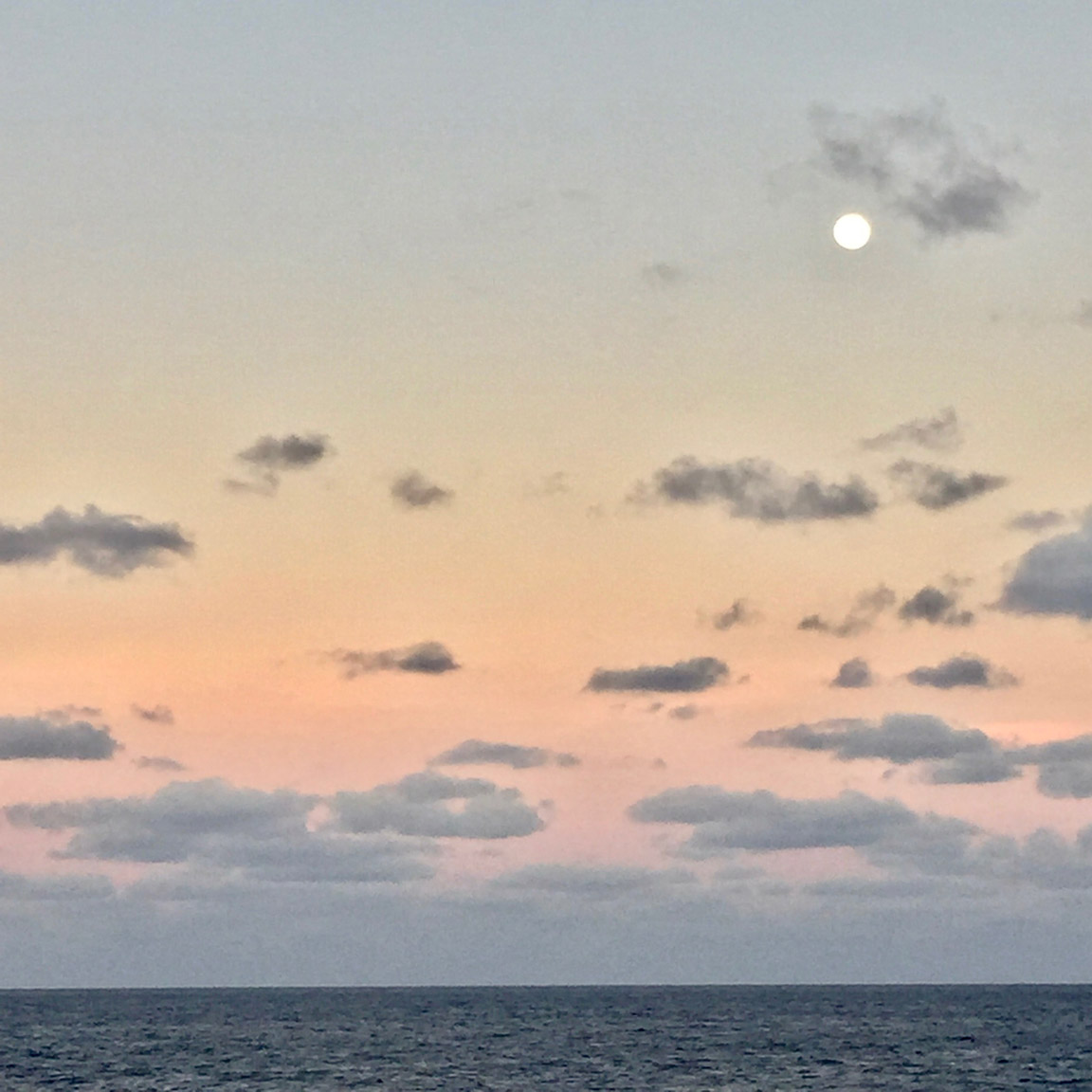
During our voyage, the main system we use to know where we are is the Global Navigation Satellite System (GNSS), which is the international equivalent of Global Positioning Systems (GPS). Both refer to a constellation of satellites that are in constant orbit around the earth, providing us with our position through the triangulation of satellites – between four and twelve at any given time. Like stars, these many satellites rise and fall out of the view of our receiver.
After a long day’s work checking mapping and navigation systems on monitors in the control room, it is relaxing to take a break on the upper deck for some star-gazing. What is ironic, however, is that the biggest, most intricate and reliable navigation system is right there, beaming down on you. In our screen-centered lifestyle, we forget to look into the darkness for orientation.


Watercolor comparisons of the navigational satellites (right) overhead versus the stars overhead (left) – 9 pm in same location. While the satellites provide a precision and a constancy which the stars do not offer, I am struck by our herculean efforts to remake our own improved version of something that was and is still, already there: a gift.
Mattang and Multibeam
Land has been out of sight for eleven days (with the slight exception of a thin sliver on the horizon which was Manra Island). Sea life and other vessels have been minimal. My gut level understanding for the vastness of the Pacific is expanding by the day. As is my respect for navigating it successfully. There really is nothing besides the endless dynamics of wind, waves, and light.
Two of my paintings are inspired by the similarities between the traditional skills of Polynesian navigators – who could calculate their location by reading wave patterns, winds, and other information – to the multi-variable mapping programs we are operating to measure the distant seafloor. Both knowledge systems use reflecting and refracting wave patterns to calculate distance and direction.


While learning about the multibeam mapping system complete with all its refractions and bending waves, I was reminded of the Mattang – a traditional Marshallese stick chart (on right) made to teach how swells refract and intersect around islands. I developed a hypothetical ‘stick chart’ of multibeam mapping (on left) to contrast to the original. Both 20” x 20”, acrylic on canvas.
Reorienting, Returning
We have completed our mapping in PIPA and are headed homeward to Honolulu. I have created about eight pieces and hope to complete at least that many with my remaining eight days. I could not possibly keep this up if it weren’t for the wonderful meals they feed me; the smart, witty company; the five pm workout; and the freedom to wonder, imagine and work.
Schmidt Ocean Institute acknowledges and thanks the Republic of Kiribati and the Phoenix Islands Protected Area for their assistance and support of this research.