The seafloor is the least understood part of the Earth – with only 20 percent previously mapped in detail, there is still 80 percent unknown. The seafloor is made up of many different features, including plateaux and basins, ridges and canyons, underwater landslides, earthquake faults, and submarine volcanoes. We still have so much to learn about the complexity of the seafloor, and we are always discovering new features every time we go out to map the ocean floor.
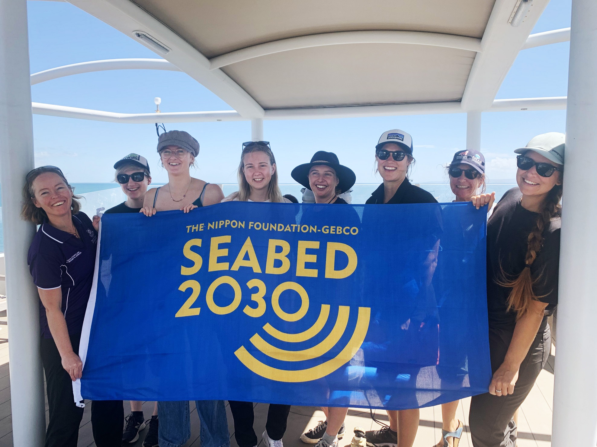
Over the next month, the aim of this voyage is to undertake broad-scale mapping of the seafloor offshore eastern Australia. The expedition is a collaboration between Schmidt Ocean Institute, Nippon Foundation-GEBCO Seabed 2030 Project, and Australian research institutions. The Nippon Foundation-GEBCO Seabed 2030 Project aims to create detailed maps of the seafloor in its entirety by 2030 and make the maps publicly available. The expedition will also be mapping for the start of the United Nations Decade of Ocean Science for Sustainable Development, running from 1st January 2021 to 31st December 2030.
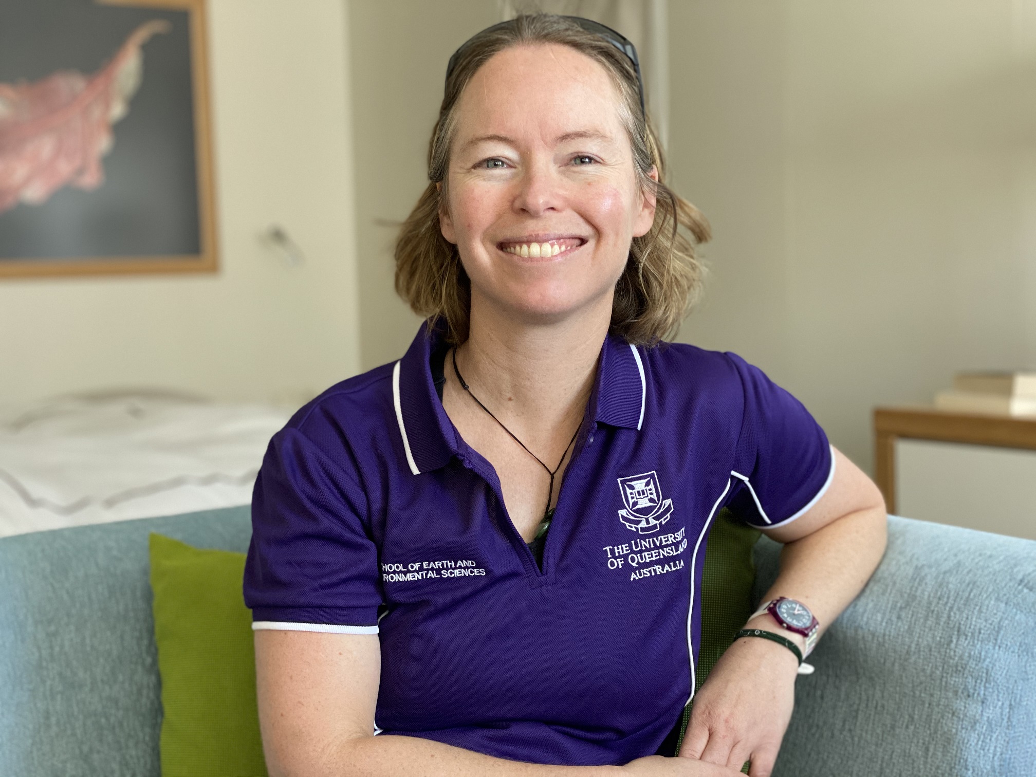
My name is Dr Helen Bostock. I am an Associate Professor in marine geology and oceanography at the University of Queensland. Together with Dr Robin Beaman, from James Cook University, I will be co-leading the science team of the R/V Falkor voyage “Pinging in the New Year.” This is the latest in a series of expeditions that the Falkor has undertaken off Queensland over the last eight months. For this voyage, we are a small team of scientists and students on board, with a team of onshore collaborators following along virtually. We will work closely with the expert crew and science technicians of the Falkor to map the seafloor in the Tasman and Coral seas.
The expedition will focus on the Chesterfield Plateau and the chain of extinct volcanoes called the Tasmantid Seamounts that lie in the abyssal basin adjacent to the Chesterfield Plateau. These include the Recorder and Fraser Seamounts (and several that do not yet have names) in the northern Tasman Sea and the eastern Coral Sea Marine Park, offshore Queensland. There is currently only limited multibeam seafloor depth data over this area, mainly collected during ship transits.

The new, detailed seafloor maps will provide information about tectonic plate movements over the long geological past that could explain how the oceans and continents formed in this part of the world. This voyage will map the western edge of Zealandia, the recently discovered collection of micro-continents that includes New Zealand. The shape of the seafloor also has major implications for the flow of ocean currents—often blocking the flow of deep water, but also influencing intermediate and shallow water currents. These ocean currents are a significant modulator of the Earth’s climate.
The seafloor is also the largest habitat on Earth, covering 70 percent of the globe, and we still know very little about vast areas – especially the deep ocean below about 1500 m depth. Mapping the seafloor is also important to provide information on suitable habitat for deep marine ecosystems that support deep-sea corals, sponges, and many invertebrates (many still undiscovered). These ecosystems provide the nurseries of deep-sea fish that are important fisheries.
Upwelling of nutrient-rich waters around volcanic seamounts further supports productive marine ecosystems, including food for marine mammals and seabirds. As part of this expedition, we will have scientists on board undertaking seabird and whale observation surveys to understand spatial patterns as an indicator for the health of the ocean ecosystems.
We are also excited to have Artist-At-Sea Jessica Leitmanis, a sculpture artist, on the Falkor. Jess has a strong connection to the ocean, and her primary medium is marine debris rope that has been salvaged from remote coasts around Australia.