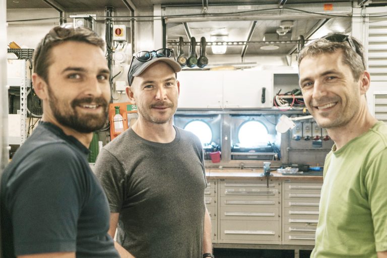
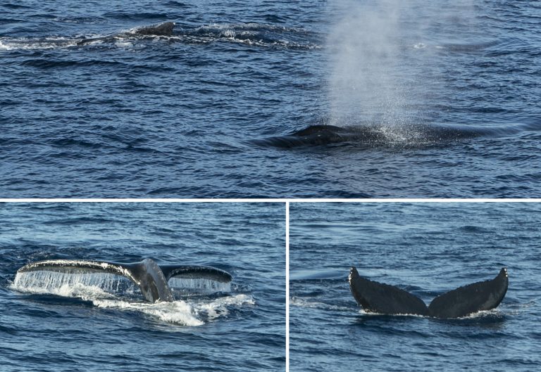
The sun rises over R/V Falkor, offering a spectacle that captures science party and crew alike. While shielded at every corner by islands that include Maui, the ship is also surrounded by humpback whales. Life onboard seems to come to a halt as the huge mammals jump and breathe around the vessel. The pause is very short though, as everyone on board has work to finish in order to get this expedition moving.
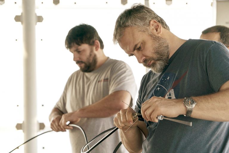
“Coordination” is the key word. The team has three weeks in the ‘Au ‘Au Channel in order to get a suite of novel underwater vehicles working – both by themselves and in unison. The objective is to push forward what these platforms can do, enabling them to require less human intervention while improving their abilities to collect oceanographic data and to adapt to changing conditions. “We can create systems, machines, and instruments that do not require people to be present. That opens a lot of possibilities: they can go deeper, they can go out for longer, they can hopefully be cheaper [than a full crew on a ship]. The challenges today are in terms of trying to get these systems to behave in ways that are sensible enough and predictable enough that we can trust them to do what they need to do, even if we’re not there to direct them,” says Dr. Oscar Pizarro, Chief Scientist.
Bring on the Robots
In order to study our vast, deep, and greatly under-sampled oceans, technology still needs to catch up to the task. There are multiple challenges once robots go underwater, including pressure increases of one atmosphere with every ten meters of depth; previously unmapped and unexplored terrain; and rarely any significant light beyond 200 meters. On top of that, below the surface,engineers do not have access to radio-frequency waves, so GPS does not work. All of this paints a very challenging picture for the work and development of Autonomous Underwater Vehicles. As Dr. Pizarro puts it, “All the wonders that we’re used to nowadays with our smartphones are not available once you go underwater.”
Robotics is – by definition – a multidisciplinary field encompassing mechanical engineering, electrical engineering, software development, computer science, also overlapping with machine learning and computer/machine vision. When it comes to the Coordinated Robotics expedition, navigation is also key. Each of these disciplines will be essential as the team develops machinery, tools, algorithms, and methodology to advance robotics in order to study the oceans in a safer, cost-effective manner while still being reliable in terms of the quality of the data.
Most of the vehicles on board will be acquiring seafloor images, each with different tradeoffs in terms of size, endurance, depth capabilities, and ability to follow terrain. The acoustic maps of the seafloor in this area inform the engineers about the rough shapes of the seafloor, but are unable to show what exactly is down there. Optical images are easy to interpret, but they cover much less ground than the sonar. The team expects to combine these sources of information to determine where to find corals, and then deploy the robots to examine those zones. This means the team will be creating an adaptive system that will learn to explore an area, taking into account known information, then deciding where to acquire new data.
Safe and Sound
“We’ve come to the ‘Au ‘Au Channel for reasons that are not necessarily very exciting for oceanographers or marine biologists, but for us in engineering development these reasons make sense.” explains Dr. Pizarro. “The ‘Au ‘Au Channel is actually quite well studied, so there’s a lot of prior information of the area. We know what most of the seafloor looks like, the general relief, and there is also a lot of imagery previously collected. In our case, that is actually a good thing to have, because we can pretend it is unexplored to see how these systems are behaving. It is a form of ground-truthing.”
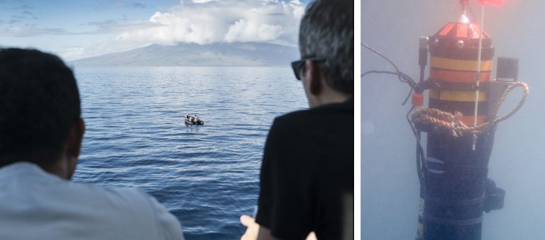
There is one more advantage to the channel: besides the beauty of marine mammals and landscape, the surrounding volcanic islands shield Falkor from rough weather. Many of the vehicles will be deployed from small boats, so these waters offer an opportunity to test and operate the systems in real-life, yet calm, conditions.
In the days to come, the resident engineers expect to fall into a well-coordinated pace – a choreography between different research teams and a variety of underwater vehicles. As the cruise progresses, each day will increase the complexity of the missions and the level of integration between the different platforms. They will begin operating independently, then in pairs, and by the end, researchers hope for a scenario wherein most of platforms are to some degree coordinating their operations.