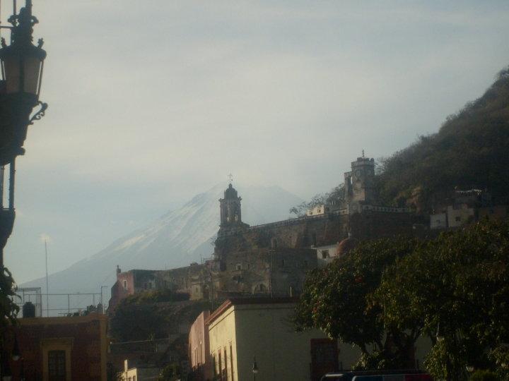
When I was a girl, we traveled to Puebla to visit my grandparents in a town near the Popocatépetl volcano. The fumaroles (smoke) scared me, so I studied the characteristics of the hills around me to find a safe place in case it blew up. With this little experience of analyzing the shape of the mountains (relief), I knew that I wanted to study Earth Sciences and 18 years later I became an Engineer in Geophysics. The National Autonomous University of Mexico (UNAM) opened its doors to me to experience the ocean and now I specialize in seabed maps.
Over/Under
Outside the ocean, we can explore the earth with satellites and obtain images that allow us to identify where the volcanoes are, where the houses are, even see the flowers in our garden. In the depths of the ocean it is very different, and we cannot easily see what is there. There is no light after 200 meters of depth and, therefore, it is difficult to understand the shape of the mountains and volcanoes at the bottom of the ocean.

Right now I’m on the R/V Falkor, under the leadership of Samantha Joye. Several researchers have come to Mexico to study the Guaymas basin in the Gulf of California. The Marine Geophysics Group of the UNAM had the opportunity to map the Guaymas basin aboard the V/R EL PUMA. This survey allowed us to know some of the relief in the basin, however, with the presence of R/V Falkor, we have the opportunity to improve our maps and observe more detail.
Currently, the images that we have of the relief of the ocean were made by combining geophysical measurements of the terrestrial gravimetric field, 3D seismic and multibeam bathymetry. In most areas there are simply no extremely detailed maps like the ones we have on the surface. Unravelling microbial mysteries starts by understanding the physical geography of their habitat.

Tools and Targets
The samples are obtained by means of a submersible robot called ROV SuBastian. Operated remotely from the ship, SuBastian will descend below 2000 meters deep and collect samples. ROV SuBastian has multiple video cameras to study the area and mechanical arms that are responsible for accurate and careful collection of animals, rocks, sediment, and water. To better understand the ocean – and not crash our submersible robot – we need many more details about the lay of the seafloor, and that starts with the ship. The depth of the sea data is obtained with instruments installed on the bottom of the ship (hydroacoustic measurements). These maps allow us to identify how thick the sedimentary deposits are and even where some animals live. This can help us find interesting forms at the bottom of the ocean, such as hydrothermal vents and mud volcanoes.
The Guaymas basin represents, geologically speaking, the early formation of the oceans. Here, the Baja California peninsula is separating from Mexico at a boundary between the tectonic plates of North America and the Pacific. As these tectonic plates spread, the heat coming from the mantle finds here a massive outlet that causes all the sediments to “cook” and release a large amount of chemicals including methane gas. The role of methane as an extremely powerful greenhouse gas makes it an important feature to understand. The biologists on board are also fascinated by learning more about how organisms adapt to live in these conditions that have very little oxygen.

The collaboration of the University Laboratory of Oceanic Cartography of the UNAM is supporting the processing of hydroacoustic data to carry out the cartography. At sea, we all have different jobs and I will help to collect samples and I hope to learn more microbiology and chemistry from my colleagues. The maps are just one part of this giant operation; there are many people who are essential to make this cruise a success. Working in the sea is a challenge, a moving laboratory gives you a lot to think about, and you have to make sure that things do not fall and dizziness does not take over.
I am definitely happy to have the opportunity to participate in this research. It is exciting to fill in some gaps in our maps and in our understanding of the ocean.