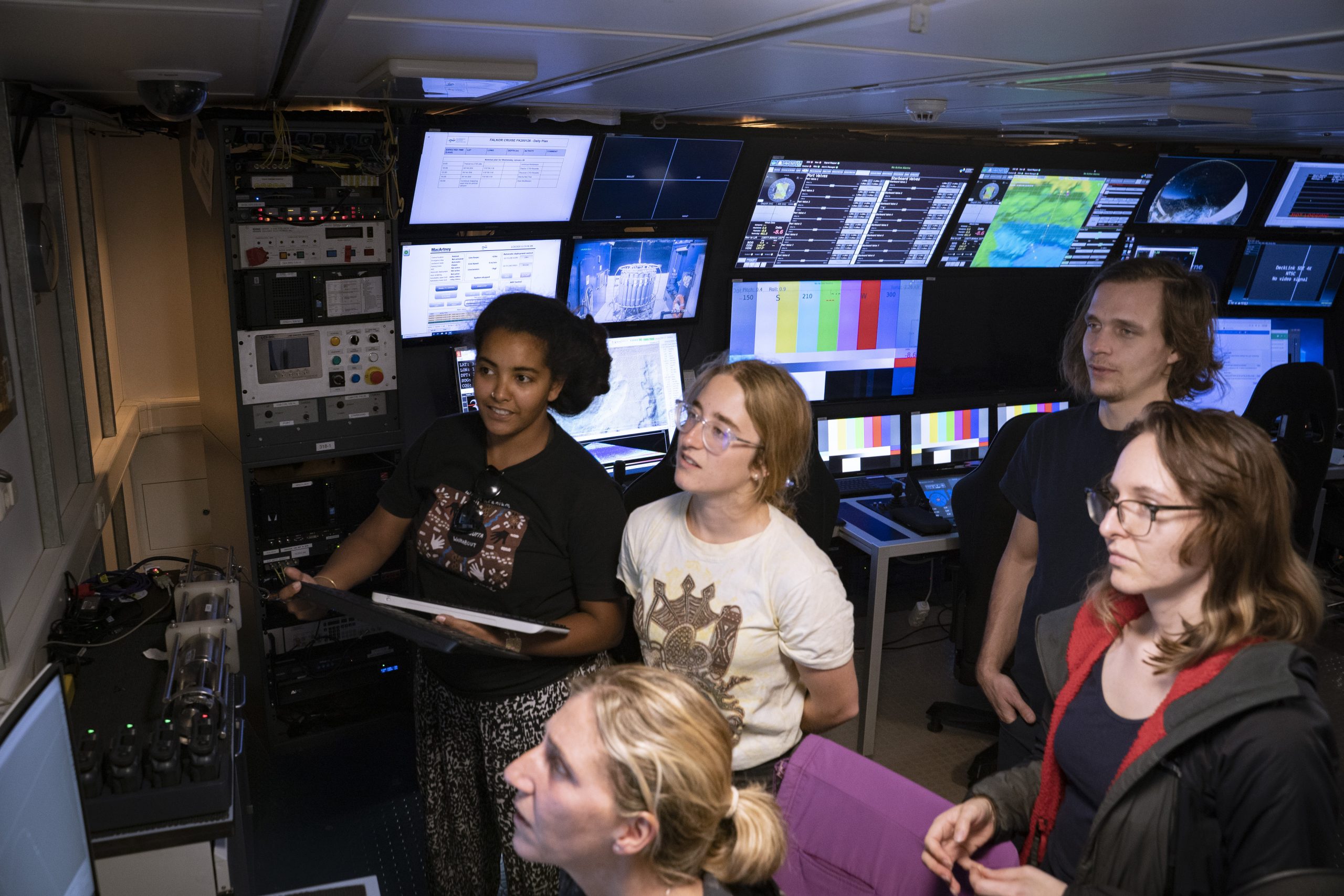
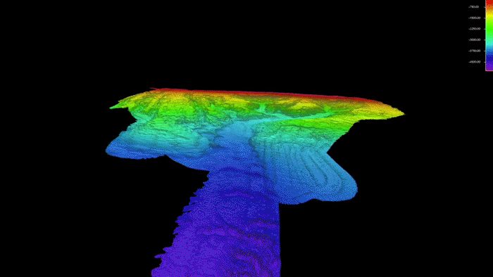
On board the Falkor, we are extremely fortunate to have a multidisciplinary team of scientists contributing their expertise to improve our understanding of the Bremer, Leeuwin, and Perth deep-sea canyons. One essential component of this voyage is creating detailed maps of the bathymetry – or shape – of the seafloor.

To map the seafloor, we use sophisticated acoustic instruments called multibeam echosounders. We are using two different kinds: EM302 for mapping deep water, and EM710 for intermediate to shallow water. These systems send a ping of sound down to the seafloor and then measure the time it takes for the echo to return. Knowing both this time and the speed that sound can travel through the water, we can then calculate distance to the seafloor, i.e. depth. The two multibeam sonars we are using have different frequencies. Lower frequencies are used for mapping deep water, and the EM302 has the capability to map to more than 7000m.
Historically, echosounders could only send one beam of sound out at a time, giving one beam of sound called a “single beam.” Nowadays with improved technology, we can send multiple beams of sound out at once, generating a “swath” across the seafloor.
We also receive information about the intensity of sound returning, as well as the depth. This is called backscatter, and is related to the hardness of the seafloor. This information allows us to infer what substrate may be at the bottom. For example, mud or soft sediment will have a lower intensity backscatter than harder substrates such as rock or reef. Combining and overlaying multiple swaths together allows us to build a picture of what the seafloor looks like. Most of the mapping is done at night, and it is very exciting to wake up in the morning and see visual 3D images of new areas of the seafloor that we are travelling over. It is like looking straight down at the bottom with no water in the way, revealing underwater ridges, crevasses, and other previously unknown secrets.
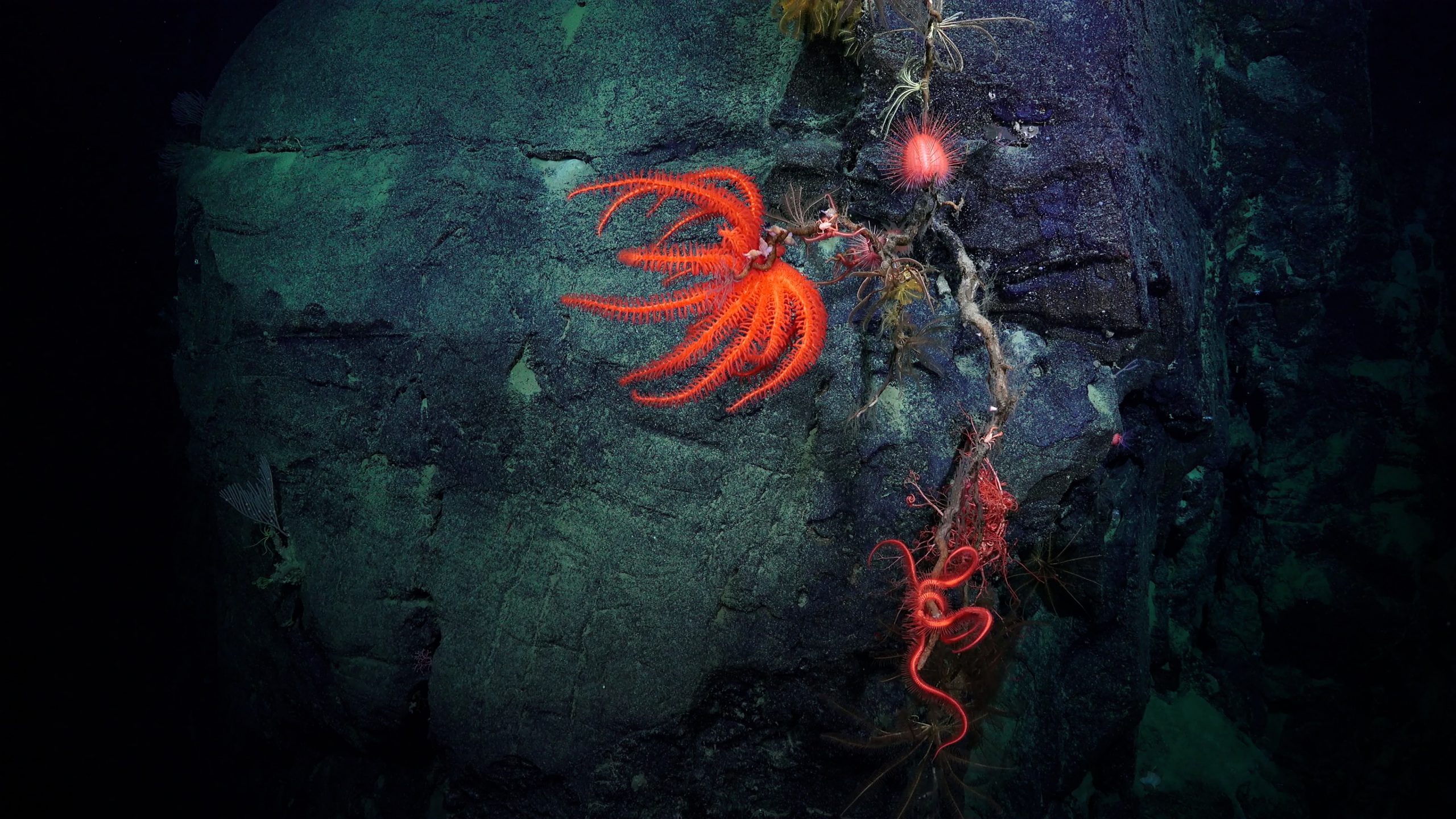
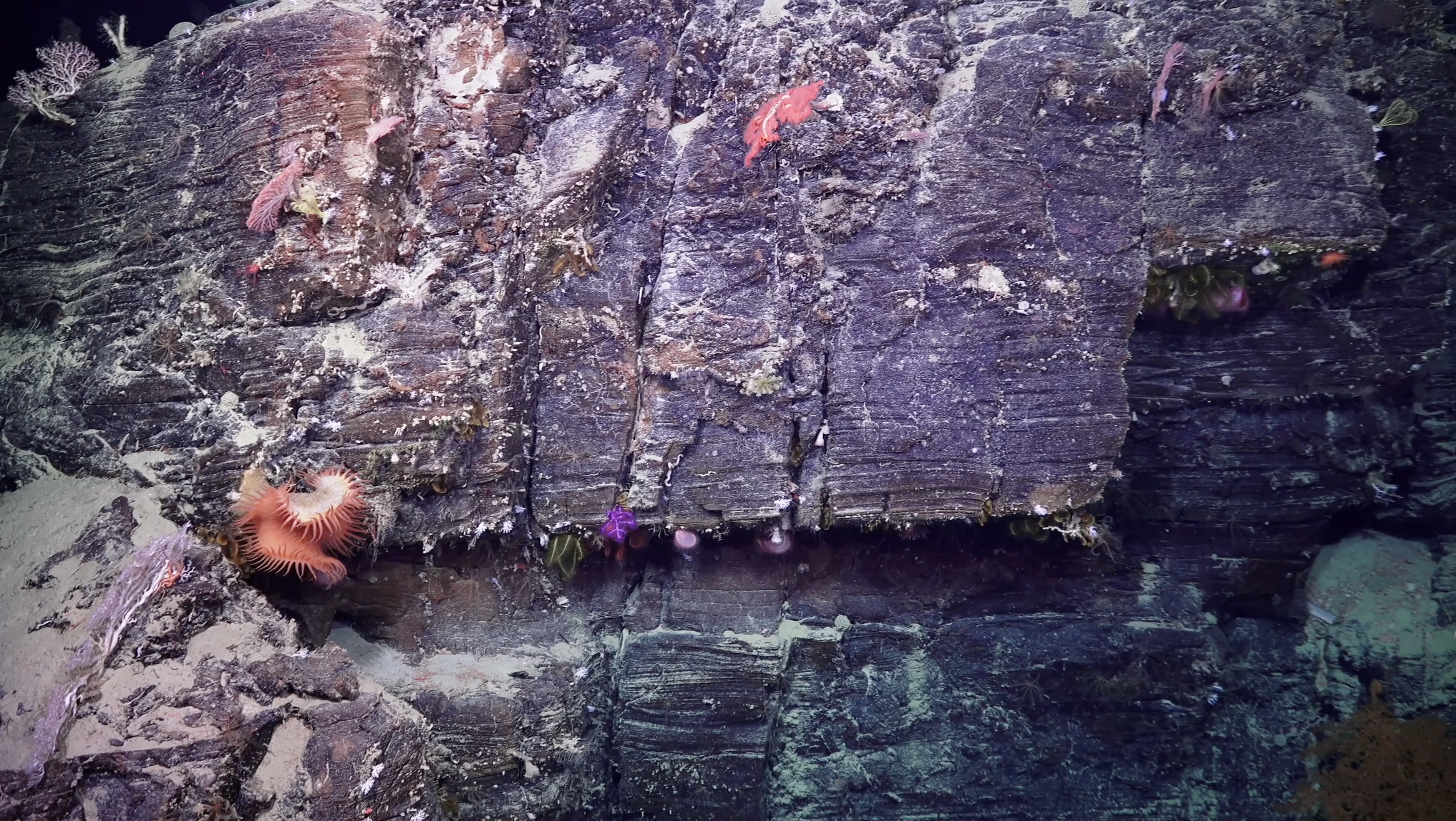
Importantly for this voyage, we use the information from our detailed maps to select good locations for the ROV dives. We are particularly interested in finding deep water corals that live on steep rocky slopes. We also target particular water depths, depending on the objective of the dive. This information can help refine our search and select target areas from the map.
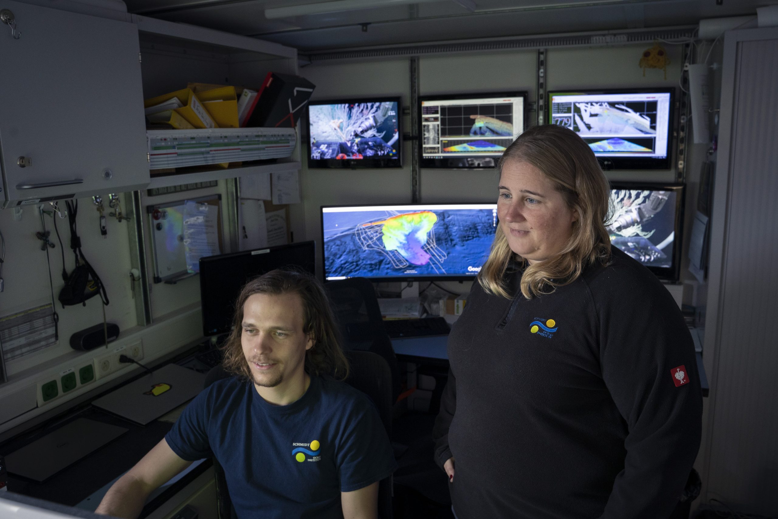
It is very satisfying to select a location, and then see in the ROV footage that it is quite similar to how you thought it would be.
As well as being used for selecting dive sites, the data will also be used to generate habitat maps of the three canyons. Every day during the ROV dives, we classify the biology, substrate, and oceanography (including temperature, salinity, and oxygen) thanks to software including Squidle and Sealog. This realtime data is then combined with the geomorphology and backscatter information from the broader scale multibeam maps. Habitat mapping is extremely important for deciding and managing Marine Protected Areas. We hope that the new knowledge generated from compiling multiple data sources helps to spark interest in – and inform the management of – these canyon systems.