As we start our transit back to the port of Brisbane, we continue collecting seafloor mapping data from the multibeam sonar and magnetic signature data from the towed magnetometer while observing seabirds along the way. But it is time now to reflect on the voyage as a whole and all the scientific data we have collected over the past 30 days.
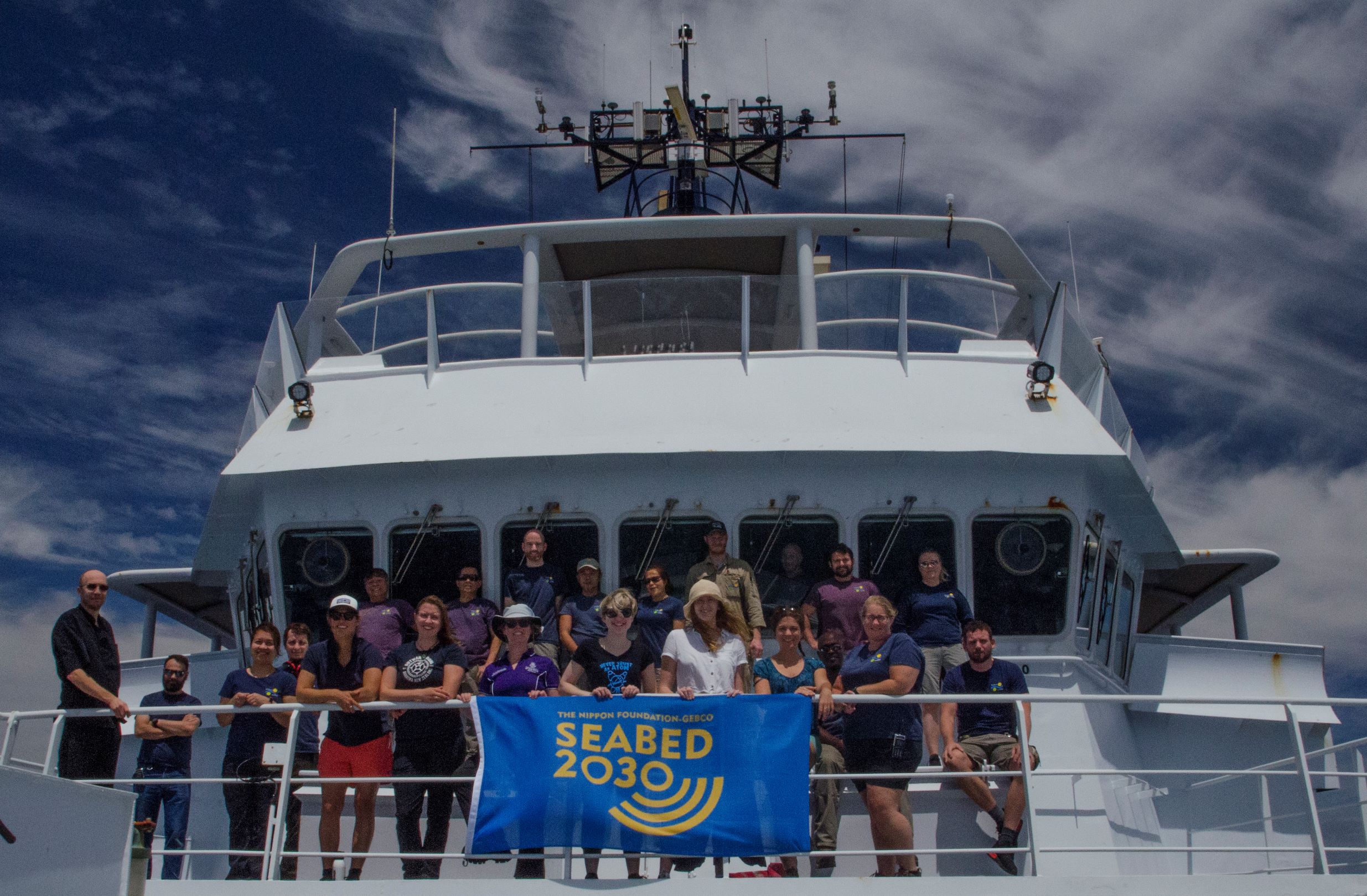
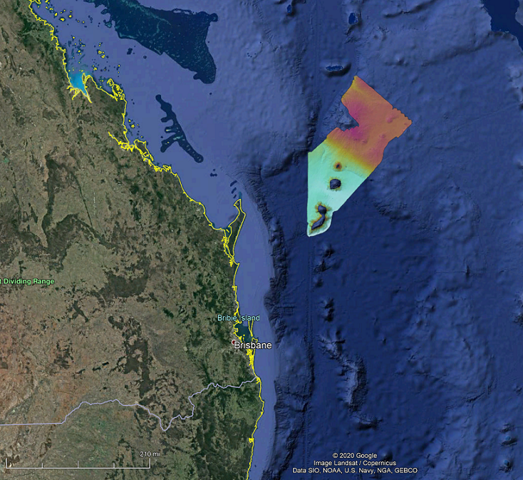
This voyage’s primary focus was mapping new areas of the seafloor to contribute towards The Nippon Foundation-GEBCO Seabed 2030 Project. The R/V Falkor was one of the few research vessels collecting data at the start of the 2021 New Year, which marked the beginning of the UN Decade of the Oceans. We have mapped an area just under 40,000 square km of the north Tasman Sea and Coral Sea Marine Park, nearly the equivalent to an area the size of Switzerland.
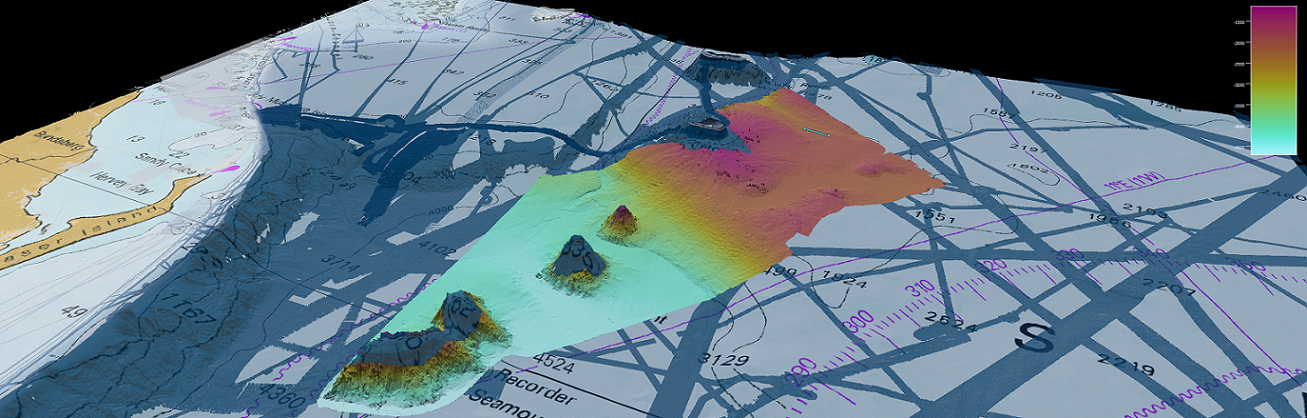
It is exciting to be the first to “see” what the multibeam sonar reveals on the seafloor as we explore these remote and previously unmapped regions of the ocean. The new multibeam maps reveal the complexity of the deep marine environments. They provide new detail of the volcanic Tasmantid Seamounts – the Recorder, Fraser, and unnamed seamounts – with evidence of submarine landslides. Around and between these seamounts are channels, scours, and sediment waves, indicative of strong seafloor currents at depths exceeding 4,000 m. While up on the Chesterfield Plateau and around Cato Reef, we mapped many small volcanic cinder cones, gullies, and channels. These observations provide important clues to the geological and oceanographic evolution of the north Tasman Sea and the Coral Sea Marine Park region.
Alongside the seafloor mapping, we undertook a range of opportunistic science activities to make the most of the R/V Falkor being in this region. We collected seafloor magnetic data along several long transit lines using a towed magnetometer to understand the opening of the Tasman Sea Basin. We measured the ocean currents and eddies using an Acoustic Doppler Current Profiler (ADCP) and determined the main water masses in the region using the Conductivity Temperature Depth (CTD) sensors. We counted 15,000 sea birds of 20 different species in this remote region, which has very little seabird observation data. We have trialled a pilot study on the microplastics found in the surface and deep waters. These data will all contribute to our broader understanding of this region of the north Tasman Sea and help with managing the Coral Sea Marine Park.
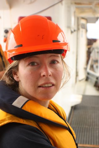
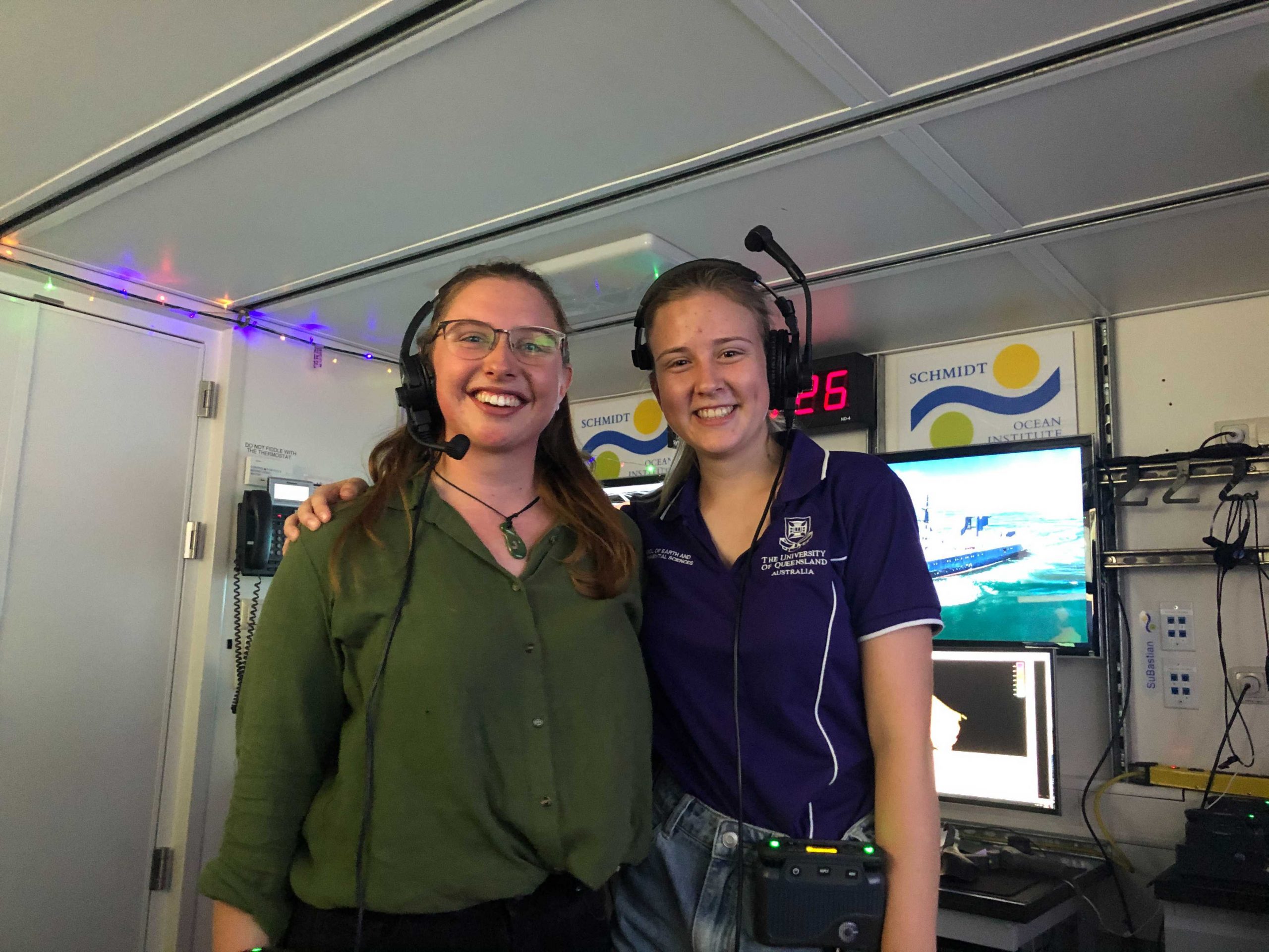
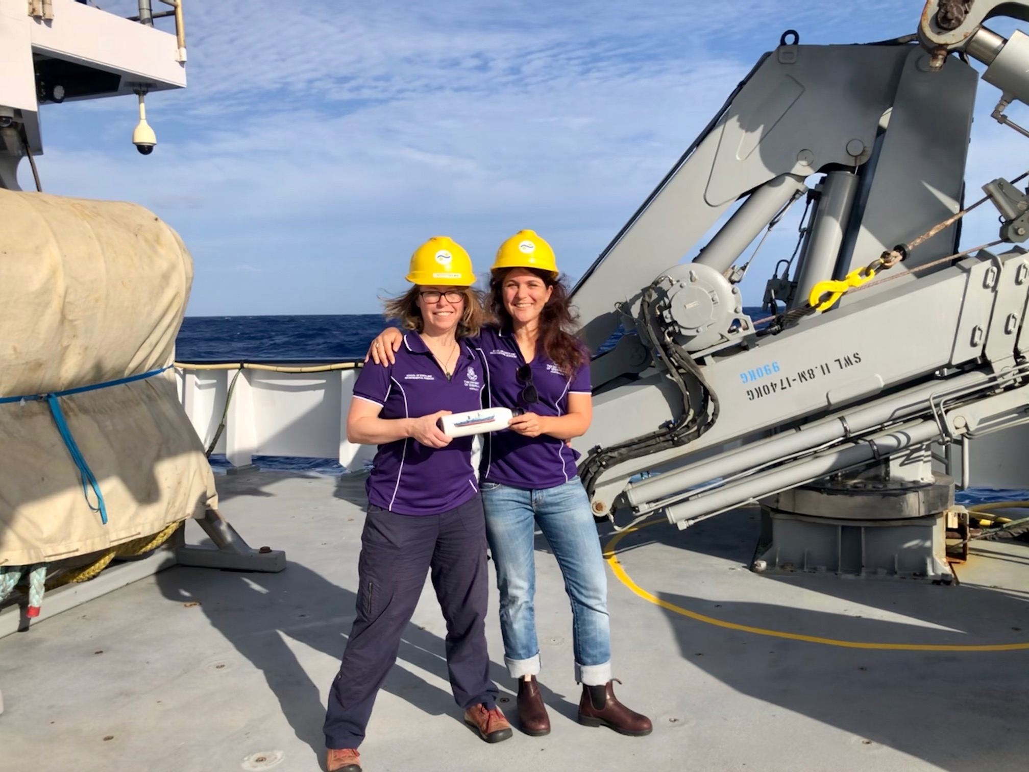
In addition to these new scientific datasets, one of our most significant achievements during this voyage has been training five new marine scientists. The students learned a wide range of hands-on skills from the expert marine technicians on board, including operating the multibeam and processing data, doing XBT (expendable bathythermograph) measurements, setting up and sampling the CTD sensor, seabird observations, and sieving for microplastics. The students also learned a lot from the ship’s crew, including all the appropriate ship lingo (port, starboard, aft, foredeck, cabin, mess, scullery, bosun, etc.) and the different jobs of the crew. They have participated in many safety drills, including the stowaway drill and learning how to don the firefighting gear and save “Fred” (the ship’s training dummy), and even navigating the ship under the bridge officers’ close supervision. They further developed their science communication skills by writing blogs and giving “Science at Sea” seminars. They helped out with “Ship to Shore” events with high school and university students (hopefully inspiring future marine scientists). They embraced every opportunity thrown at them, learnt a lot, and had fun along the way.
The science, mapping, and student training will continue on the next voyage on board R/V Falkor that will depart from Brisbane in early February. Dr Helen Bostock will be handing over the on-board science leadership to Dr Derya Güerer, who will be stepping up to lead her first voyage. She will be supported virtually by a large team of scientists onshore.
The virtual participation of scientists onshore has allowed the R/V Falkor to continue sailing throughout the COVID-19 pandemic. However, while some scientists are stuck at home participating virtually, the circumstances have provided additional opportunities for local students to get hands-on experience and help young scientists step up and lead voyages – training up the next generation of ocean scientists and leaders. We are incredibly grateful to the Schmidt Ocean Institute for this opportunity and have enjoyed working collaboratively with the marine technicians and ship’s crew.