Cruise: Serendipitous Side Trip
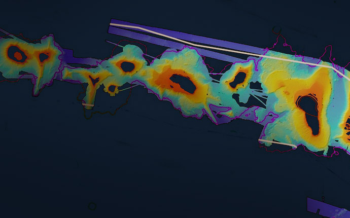
The Falkor team has completed the first-ever high-resolution map of deep reefs near the island of Roatan in Honduras.
Search Results for
The Falkor team has completed the first-ever high-resolution map of deep reefs near the island of Roatan in Honduras.
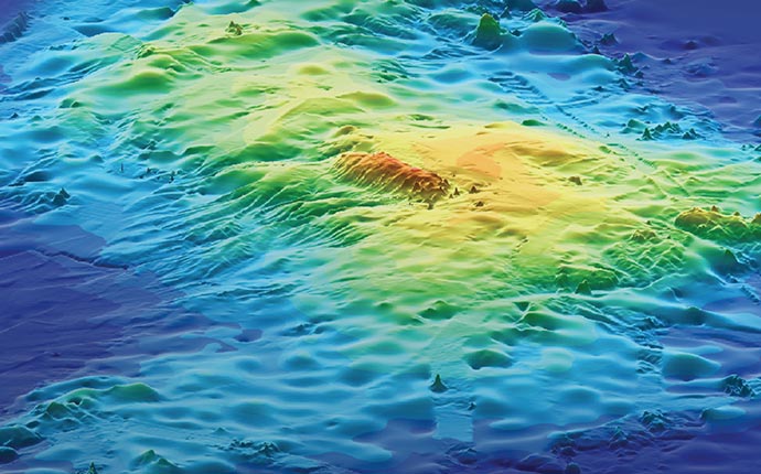
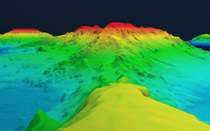
Using a combination of bathymetric mapping and magnetic readings, scientists hope to explain how the world’s largest volcano was built.
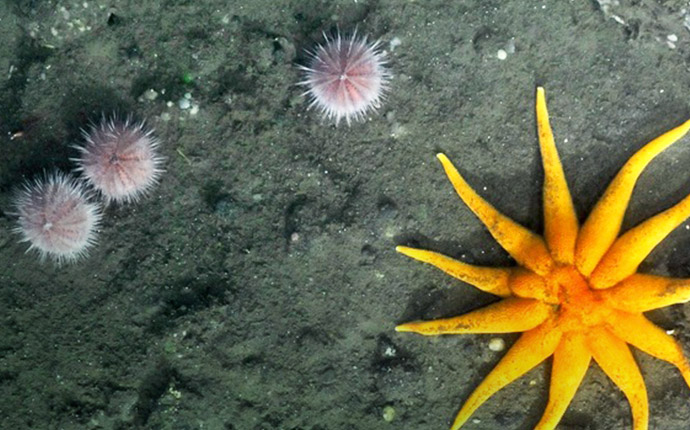
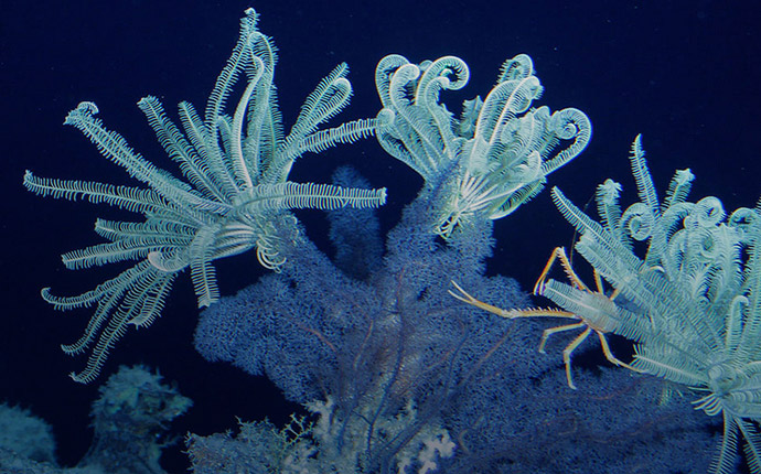
The expedition’s second leg focused on gathering video records of the life found in and around lower-oxygen zones using the ROV ROPOS.
During the first leg of the Open Ocean to Inner Sea expedition, the Canadian research team collected basic oxygen and other measurements offshore of Vancouver Island.
This unpresented study of microbes and viruses that live within the rocky layers of the seafloor was conducted using ROV ROPOS, 575 kilometers southwest of the underwater volcano Axial Seamount.
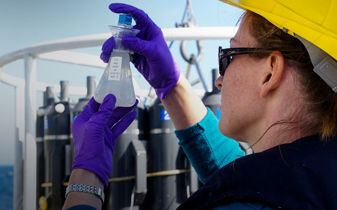
Since 1988, oceanographers have been studying a patch of deep blue 60 miles north of Oahu known as Station ALOHA. But despite extensive work there, much remains unknown about the diversity of the area’s zooplankton.
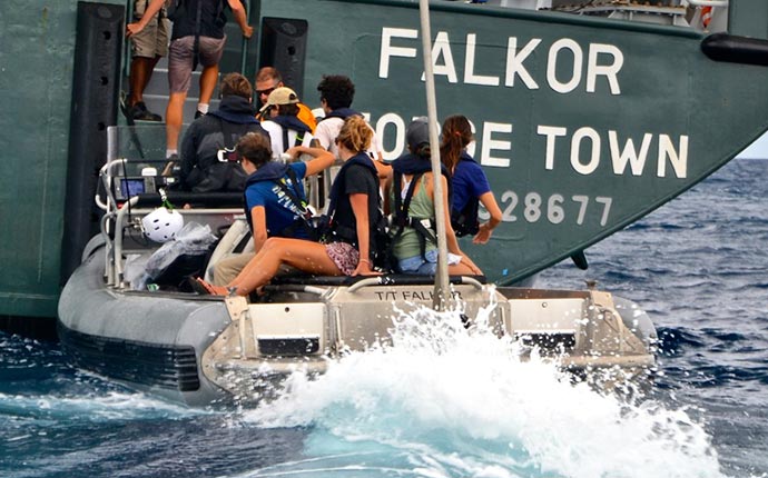
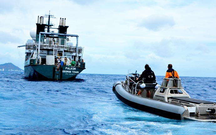
The focus was on inspiring student participants to move toward careers in ocean science, and for those already headed that direction, to provide much needed training for future expeditions.
On the first of three student cruises, the team aboard Falkor answered questions about whales’ decision-making process about how and where whales feed in the deep sea.
The Papahānaumokuākea Marine National Monument mapping project will be spread over two legs to identify likely sites of deep-sea coral beds, manganese crust zones, and other key features.
The Papahānaumokuākea Marine National Monument mapping project will be spread over two legs to identify likely sites of deep-sea coral beds, manganese crust zones, and other key features.