Cruise: Axial Seamount Cruise 2013
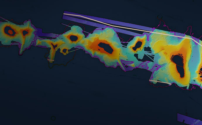
This unpresented study of microbes and viruses that live within the rocky layers of the seafloor was conducted using ROV ROPOS, 575 kilometers southwest of the underwater volcano Axial Seamount.
Search Results for
This unpresented study of microbes and viruses that live within the rocky layers of the seafloor was conducted using ROV ROPOS, 575 kilometers southwest of the underwater volcano Axial Seamount.
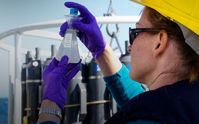
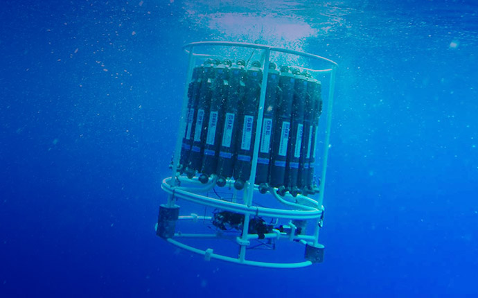
Since 1988, oceanographers have been studying a patch of deep blue 60 miles north of Oahu known as Station ALOHA. But despite extensive work there, much remains unknown about the diversity of the area’s zooplankton.
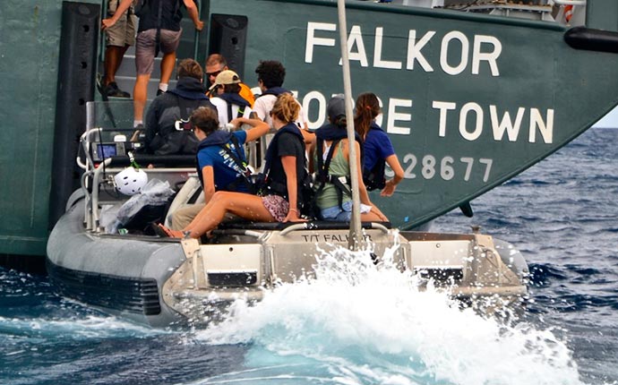
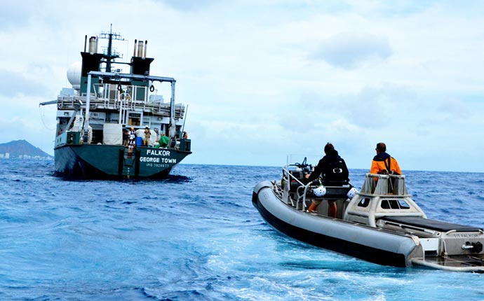
The focus was on inspiring student participants to move toward careers in ocean science, and for those already headed that direction, to provide much needed training for future expeditions.
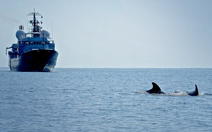
On the first of three student cruises, the team aboard Falkor answered questions about whales’ decision-making process about how and where whales feed in the deep sea.
The Papahānaumokuākea Marine National Monument mapping project will be spread over two legs to identify likely sites of deep-sea coral beds, manganese crust zones, and other key features.
The Papahānaumokuākea Marine National Monument mapping project will be spread over two legs to identify likely sites of deep-sea coral beds, manganese crust zones, and other key features.
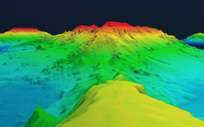
AUV Sentry will be used at Hawaii’s underwater volcano, Loihi Seamount, whose base remains largely unexplored. The team will survey and sample the seamount to better understand the dispersion of hydrothermal fluids from Loihi to the Pacific Ocean.
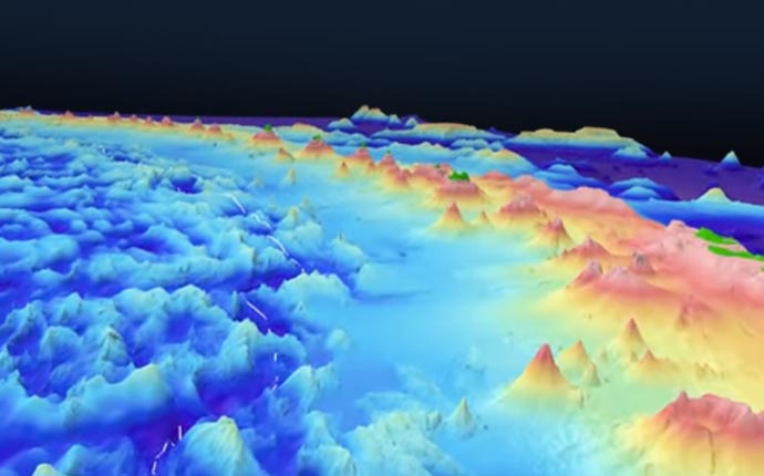
The Ontong Java Plateau is a massive submerged seafloor platform north of the Solomon Islands. During this expedition researchers produced high-resolution seafloor maps that will provide clues to explain its mysterious formation, as well as improve tsunami predictions for people living on Ontong Java’s atolls.
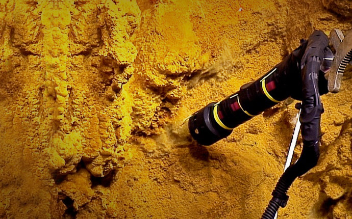
The Mariana region is home to the Mariana subduction system. This November, scientists shed light on the Mariana back-arc spreading center looking for new sites of hydrothermal activity.
Research suggests that small-scale turbulence could play a large role in how the ocean absorbs heat, a key factor in the onset of El Niño events. In July, Falkor traveled to the central equatorial Pacific to give researchers a first view of this smaller scale turbulence.