This morning at 0800, Falkor arrived at the entrance to Juan de Fuca Strait on her way offshore. There was a little fog, but everyone was pleased to find relatively calm seas in the 2-meter range.
The acoustic Doppler current profiler ran all night during the steam from the Straight of Georgia, through Haro Strait, over the sills southeast of Victoria, and out to the Juan de Fuca. Everything worked well, so it looks like the sonar system will be able to provide plenty of information about currents that will help the team understand the pathways upwelled water might be taking inshore.
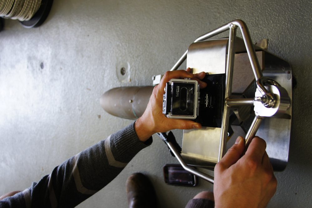
After breakfast, the Moving Vessel Profiler (MVP) team did test deployments with part of the system called a fish–a heavy metal weight used to set the MVP’s depth and that also carries sensors. Full deployments will use two separate fish, and the team has outfitted one of them with a GoPro camera that should capture some interesting MVP-eye view footage that we’ll be posting later.
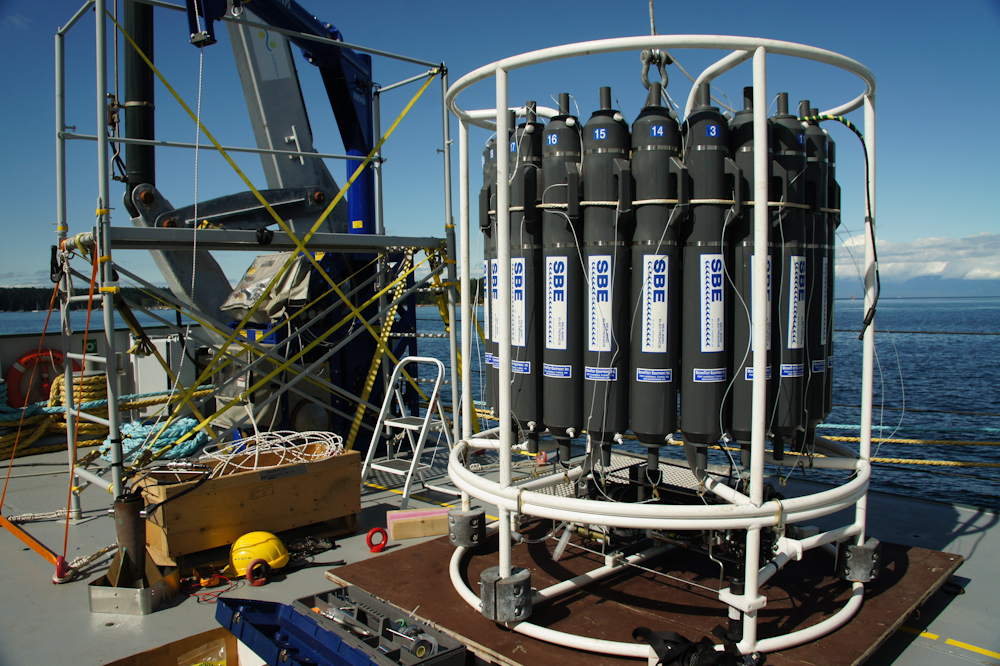
Just inside the mouth of the Juan de Fuca, everybody either helped or watched as the CTD rosette hit the water for its first full deployment, or cast. Every time the rosette makes it back on deck, the team gathers water from each “bottle” to analyze levels of dissolved oxygen, nutrients, and dissolved inorganic carbon (carbon dioxide).
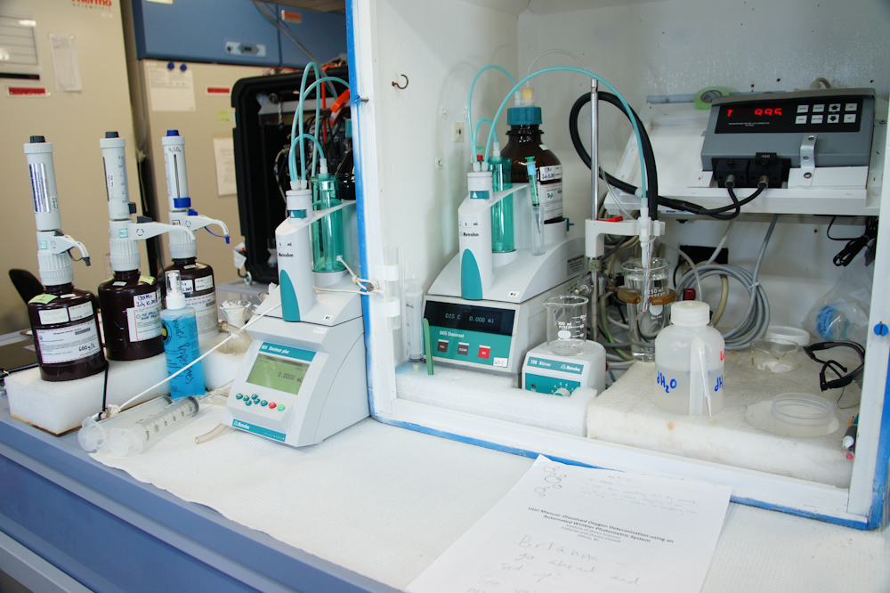
Data from these water analyses, along with information coming from sensors on the rosette for things like temperature and salinity, will collectively offer a signature for water from a particular depth that the scientists can use to figure out where that water came from. For instance, water that began as runoff from Vancouver Island or elsewhere inland is going to have salinity and temperature levels that are different from the upwelled deeper waters the researchers aboard are working to track.
The team was running so many CTD rosette casts on Monday that they sometimes didn’t have time to rest or eat. Some members were also working in the control room with SOI marine techs to adjust and configure the sonar systems in preparation for upcoming work. This was a little tricky because the team will be using three separate sonar components in order to map the bottom, measure currents, and assess where fish and plankton are concentrated. Each task requires a different bandwidth, but there can be some overlap. Measuring all three parameters at the same time will mean tradeoffs—like deciding between less detailed data, or only running two out of three systems at a time.
The schedule calls for 17 full CTD casts in Barkley Canyon, which will take through Tuesday to complete. Then it’s on to work with the MVP.