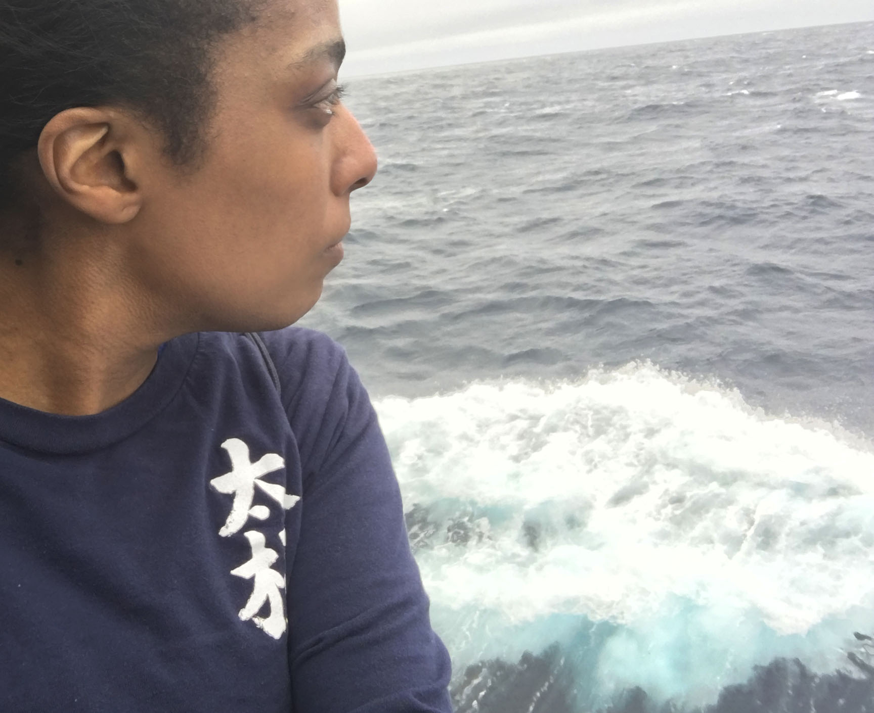
I am quite sure the very first explorers were crazy. Looking out to the horizon and seeing nothing but water, why on earth would anyone ever traverse those endless waves, into the unknown? Of course, it is the same reason that compels us to tackle new problems and learn new things every day: an interest in the world around us; curiosity.
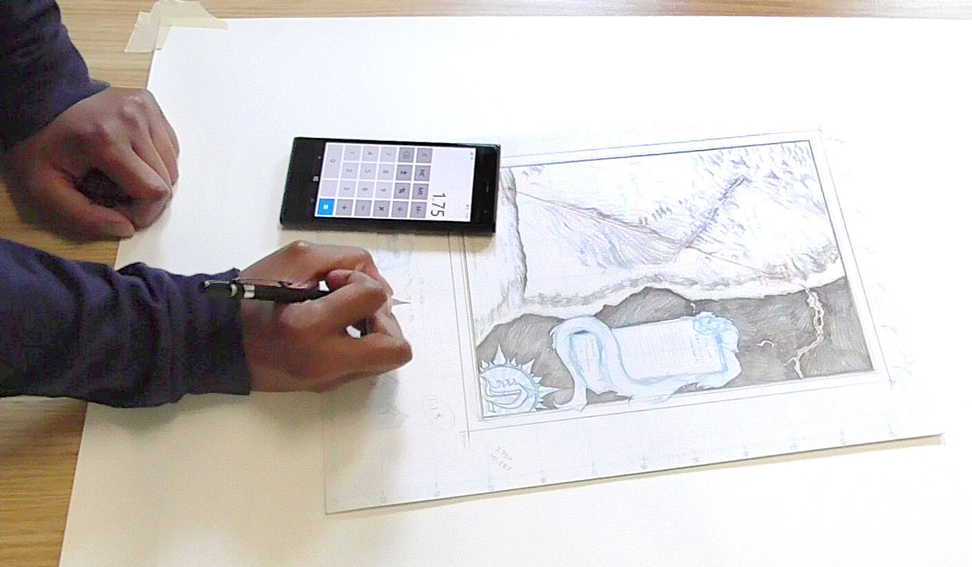
 For me, an artist whose prime objective is to spark wonder in others, I have the daunting task of creating images that draw people in, making their eyes widen and sparking a million new questions to race through their heads. It takes a surprising amount of data and planning to pull off such a feat. The most visually effortless of strokes takes the most deliberate thought.
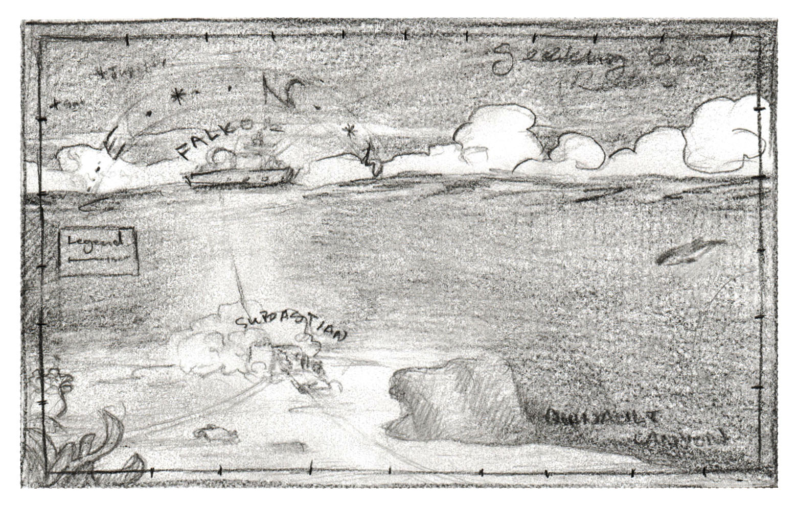
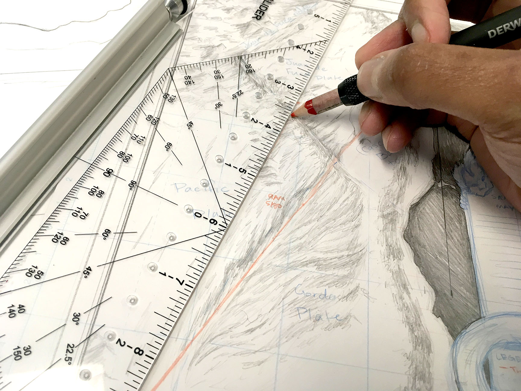
In this instance, I am attempting to translate the intricacies of the sea floor, to remind us land dwellers how fascinating and otherworldly the sea truly is. One of my early inclinations was to depict the seafloor as we do in land maps, noting all of the hills and ridges. This was a fine idea for the sea trials, and I mocked up something much more complicated for the Seeking Space Rocks aspect of the cruise. I got my research together after living on board for a while, and thought I might be ready to get started on the larger map.
 It All Comes Together; It All Falls Apart
Much like the scientific trials done on board, art is nothing more than experiment in expression. My first attempt at a final draft produced a kind of map that, not only I had done before, but that was also lacking wonderment. Now, this sentiment can be difficult to explain, as some people are simply caught marveling at the skill with which an artist crafts and renders the work. This is, in itself, a type of wonder-making, no doubt. But I shoot for gasps and sighs of whispered “magic,” when I make maps, and this one was missing that key element! So back I went, into the research catacombs.
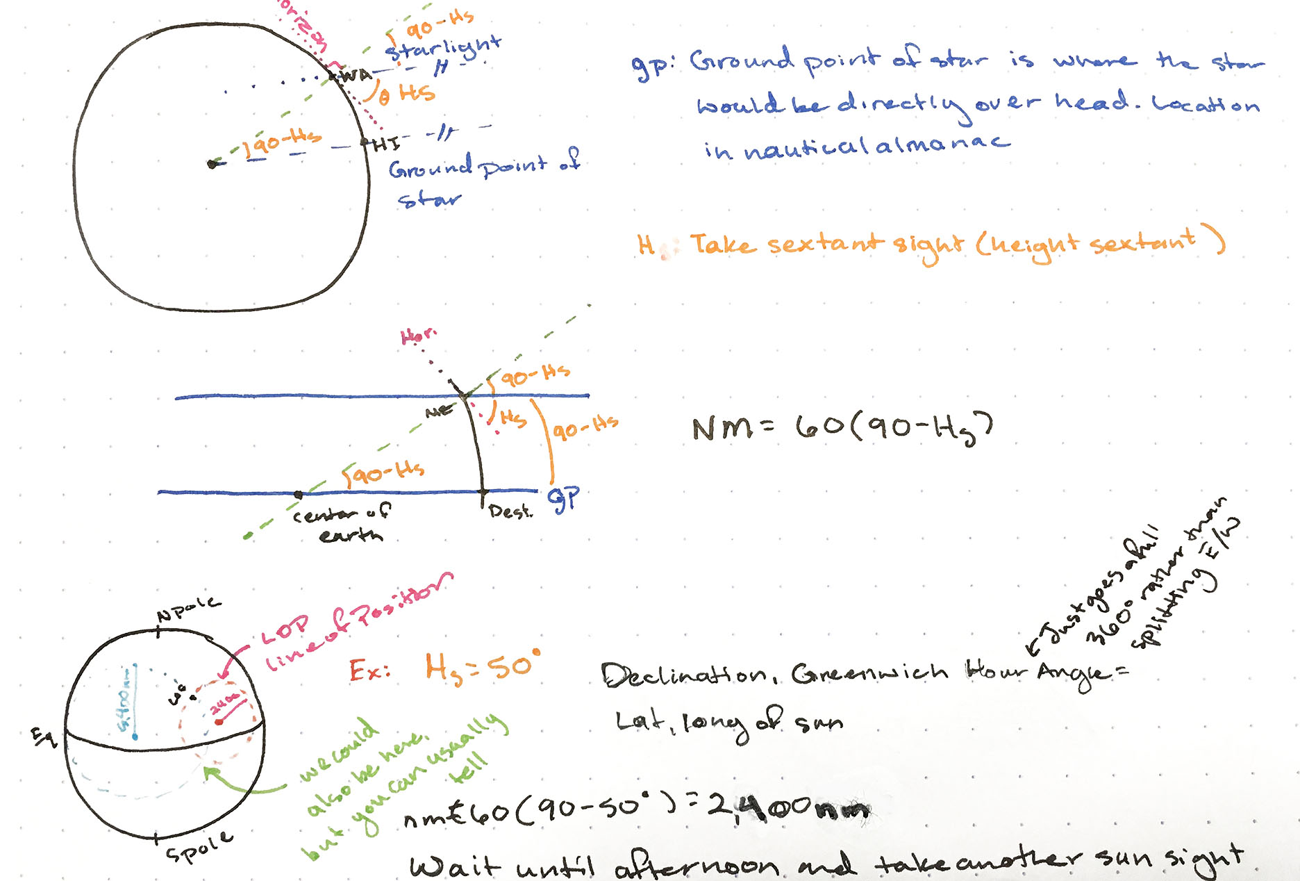
Looking Above to Inform What Is Below
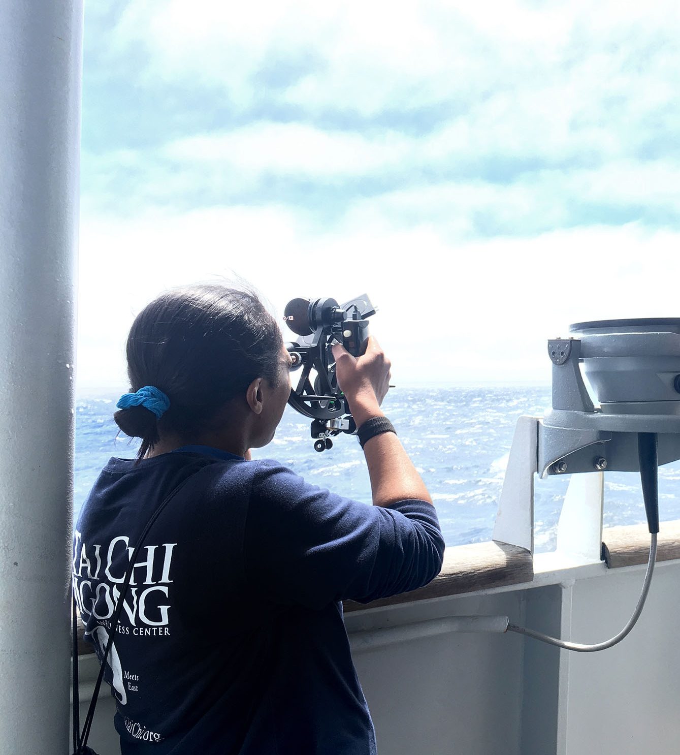
The second leg of this trip involves hunting for meteorites on the seafloor. With this in mind, I thought it would be fun to revisit an old interest of mine: Stargazing and Celestial Navigation. Now, hobbyist stargazing is easy enough; we see stars all the time, we learn the constellations. That idea alone was not going to be enough to ignite a new spark in a viewer. With the help of the crew, and copious research, I dove into a crash-course on celestial navigation, and through it, I discovered a fun world of charts, graphs and, of course, stars.
The Next Test Phase
Going back to the wild sketches from the beginning of this process, I decided to combine both charting and illustration into something new. Something that meets the required features that make a map: a map (Data frame, Legend, Title, North Arrow, Scale, and Citations) – yet imbues the viewer with a sense that there are grandiose places to explore and adventures to be had. Beyond that, though it may not be obvious in the sketch, this map will be incredibly technically difficult, so the precise areas may need to be finished on land. But stretching into the unknown, pushing ourselves to try difficult things, and learning in the process is what discovery and exploration is all about.
 Hopefully this draft will work out in its final form. If not, on to another test and another exploration! As with science, art is all about the journey; the process. The result is just a way to communicate what we’ve learned along the way.
I can tell you though, this draft has the spark.