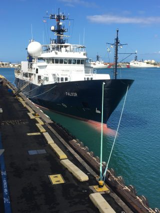
Howdy! My name is Bailey Skinner and I a am junior environmental geoscience major at Texas A&M University. When I am done with school, I would like to go into ocean conservation work, so when Dr. Roark presented this opportunity to aid him in this research on deep-sea corals, I knew it was something I would not be able to pass up. Seeing the Falkor for the first time in person was a bit of a surreal and humbling moment – I knew right then that any nerves I had about coming on this expedition were instantly calmed.
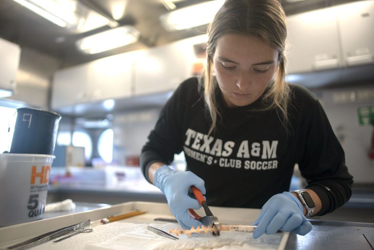
I have been living on the Falkor for almost over a week now, and have already learned so much. Each day has been something new and since I am on the 0:00-12:00 shift adjusting my sleep schedule. After unpacking all the equipment in the wet lab, we were given a run-through on how to process the samples once the ROV is back on deck. After Falkor left the harbor, the XBT, Expendable Bathythermograph, had to be calibrated. The XBT measures temperature through a water column and uses copper wires to transmit the data back to the ship as it is falling to the sea floor. This probe plays an essential role in multibeam mapping, such that the sound speed in water be calculated to the multibeam sonar gives accurate depth measurements.
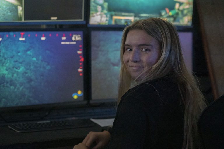
During our 70-hour transit to our first dive site, one of the marine technicians taught us how to use the multibeam mapping system in two different programs: Qimera and Fledermaus. This software is important because after the XBT data is sent over and the calibration of the USBL, Ultra-short baseline – the tracker for the ROV, the multibeam echo sounder (MBES) should be ready to map the seafloor. These two pieces of software help to visually interpret the 3-D mapping of the seafloor. Once all of the background noise is removed, the maps can be used to find slopes of terrain for the ROV dives.
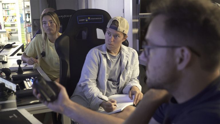
With all of that being said, let me tell you a little about the star of the show: SuBastian. This is the remotely operated vehicle (ROV) going down – deep down – into the Midnight Zone of the ocean, about 2000-4000 meters deep. ROVs were first developed for industrial processes (e.g.. internal and external process of underwater pipelines), but now ROVs have a wide range of applications, many of which are scientific. ROVs allow scientists to investigate areas that are too deep for humans to reach safely, and these machines can stay underwater much longer than a human diver, thus increasing time efficiency for exploration.
I am eager to keep learning all that I can while aboard the Falkor, as it feels I have just begun to scratch the surface of the vast amount of knowledge that is on this vessel. By my next update I will have gotten a lot more hands on experience with sample processing and seeing SuBastian dive down a few times.
Thanks and Gig’em!