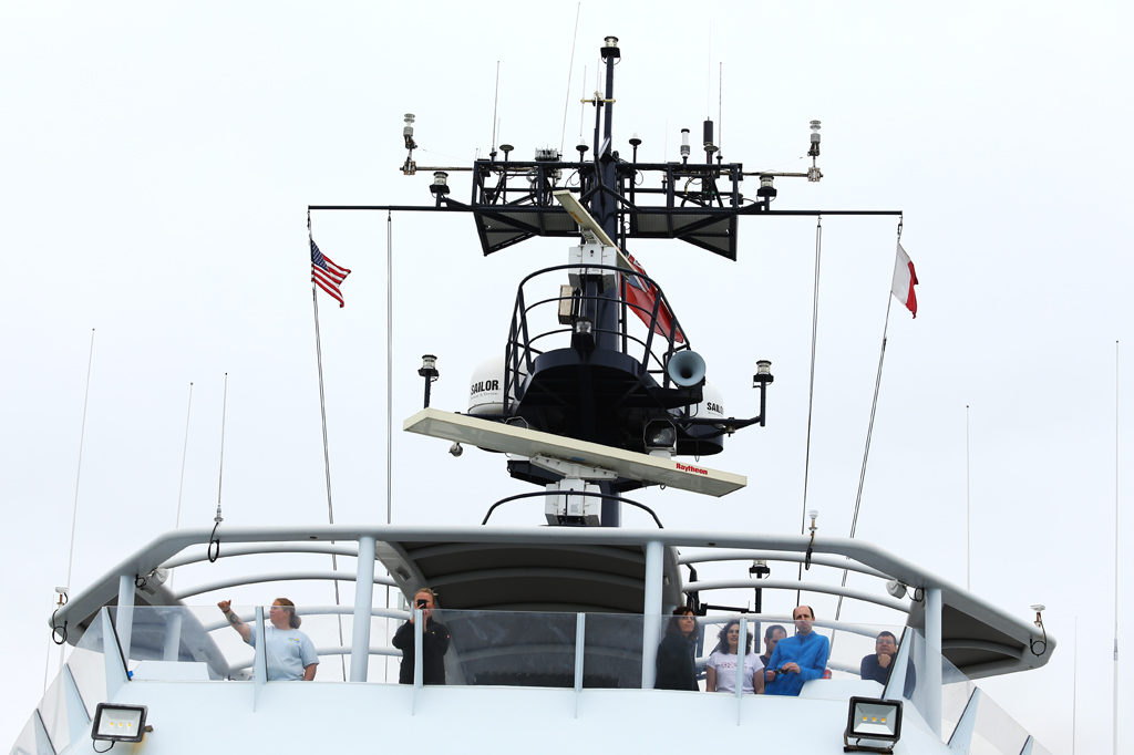
As the third largest port on California’s coast, San Diego Bay showcases the grip of humanity’s hands on the ocean. From our location, we can see the domineering San Diego-Coronado bridge, flanked by multiple aircraft carriers. We watch as commercial shipping vessels loaded down with cargo make their way into port. But for all of us aboard R/V Falkor, we are heading in the opposite direction: out to sea.
As San Diego’s skyline shrinks behind us, we feel the grip of human dominion release. No people have tried to stake a claim where we are going—no remote islands or archipelagos lay in our trajectory. We are going to a specific part of the ocean that is not distinguishable by human sight alone. But below the surface, different types of waters engage to generate unique ecological and biological processes.
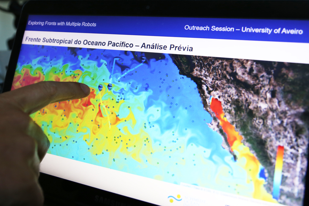
Roughly 1,000 miles southwest of the southern California coastline is an area oceanographers refer to as the Subtropical Front. Like weather fronts, ocean fronts are natural phenomena characterized by dramatic change. “Any place you have a drastic change, you have biological activity,” says Principal Investigator João Borges de Sousa. “It’s a highly productive area.”
While many ocean fronts are identified by drastic temperature changes, the strongest characteristic of this front—and how we will locate it—is based on salinity.
Borges de Sousa pulls up a colorful map on his laptop. A myriad of green, blue, orange, and red swirls around the screen. These colors illustrate the salinity gradient—the blue areas have the lowest changes, while the red areas represent the highest. The convergence zone—where the red and blue meet up against each other—is our destination.
Where the collision of different waters may present chaos, our science team will try to create order. Utilizing a diverse array of expertise, we will deploy networked vehicle systems—both deep in the waters below, and high in the sky above—to better understand the dynamics of this front.
These networked vehicle systems amount to an fleet of ocean-dwelling robots: drones, autonomous underwater vehicles, wave gliders, sail drones, and CTD casts. “Although they are quite different, we are using the same software to interface with all of them,” says Borges de Sousa.
Coordinating all these robotic systems enables the team to gather more comprehensive data. Borges de Sousa compares it to taking a panoramic photo. “It’s not just a snapshot, but the full picture—like a movie—with coordinated measurements that are time stamped and correlated.”
The instruments will measure organic carbon, chlorophyll, salinity, and sea surface temperature—metrics that oceanographers have been collecting for decades. But the approach of this expedition—simultaneously deploying so many different technologies while utilizing the expertise of diverse professionals—is unique.
“We have scientists and engineers working together to achieve a common goal,” Borges de Sousa says. “This is very important because typically there is a gap between the two fields. We need to bridge that gap, and the way to do that is through technology. In this case, our software will enable everyone to speak the same language, and also the language of the robots that we’ll be using.”