As the R/V Falkor completes our final survey area and we break off from multibeam mapping for our transit back to Brisbane, I reflect on what we have uncovered and achieved during the past 30 days at sea. The significance of our mapping results is only just beginning to sink in because there has barely been time to review and interpret each day’s mapping before planning and moving on to the next area.
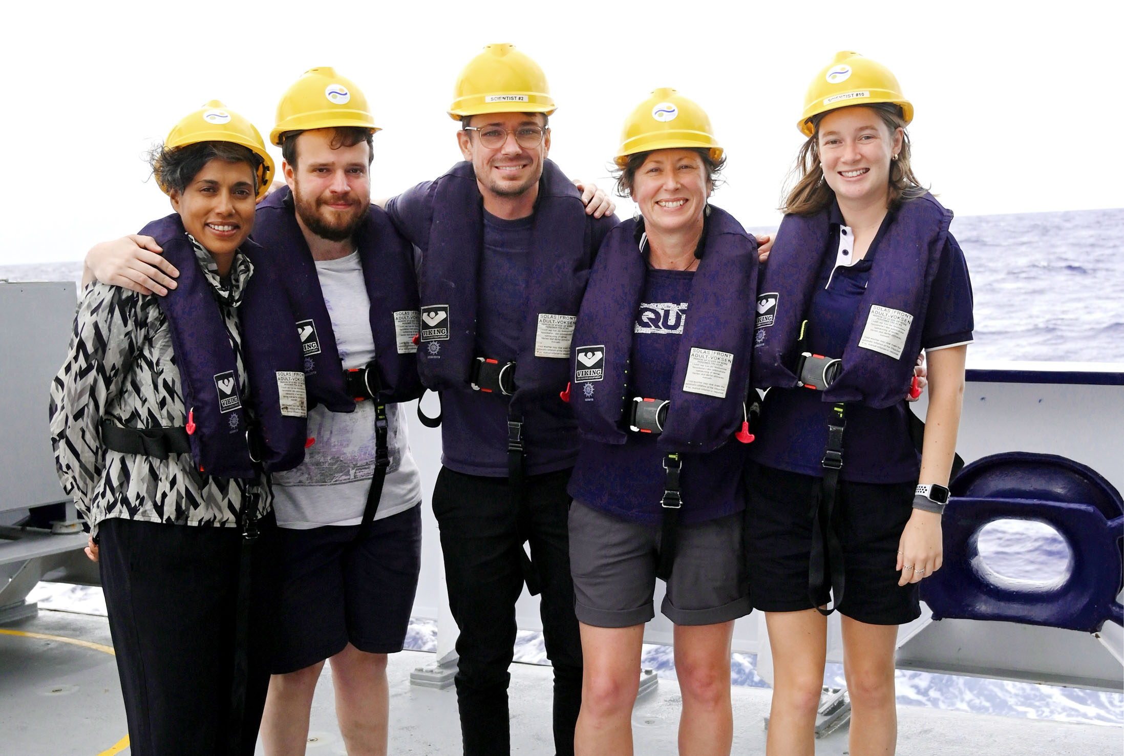
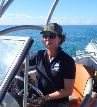
Under normal circumstances, I would be joined on board by a team of scientists working together to plan and execute these systematic surveys and sampling, while analysing and interpreting the data as it comes in. However, there has been nothing normal about this or the past few R/V Falkor expeditions because of the Covid-19 pandemic, throwing carefully planned schedules to the wind and restricting people’s ability to travel. So, my science team has provided support from onshore, while I was accompanied on the ship by a small team of three keen students who were available to sail at short notice and who also worked on their own research projects.
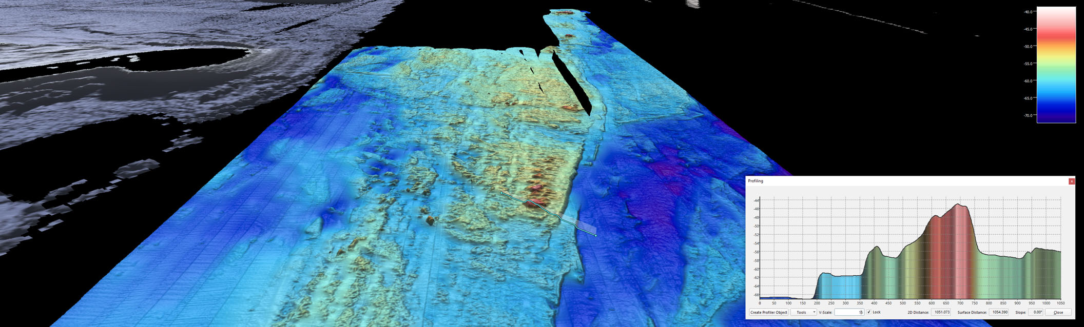
The cruise objective for the Ice Age Geology of the Great Barrier Reef expedition was to map the southern extent of the Great Barrier Reef between 50 to 120 m water depth. This specific depth range is significant as it represents the geological period from the Last Glacial Maximum to the end of the Ice Age between 20 to 10,000 years ago. During the Ice Age, coral reefs were growing as fringing reefs around this ancient shoreline, when sea-level was ~120 m lower and the coastline looked very different than today. At the end of the Ice Age, as glaciers and ice sheets melted, sea-level rose and coral reefs continued to build up over successive phases of reef growth. Layered terraces formed that can be used to track sea-level and the growth history and evolution of the Great Barrier Reef during this time.
As I watch the multibeam data come in on the computer screen and see the seafloor being revealed in real-time, I imagine those reefs and seascapes as living systems. My mind invokes an image of the ocean currents returning to this part of the Great Barrier Reef after being locked up as ice for so long and bringing with it just the right mix of chemistry and nutrients to begin the reef-building process again.
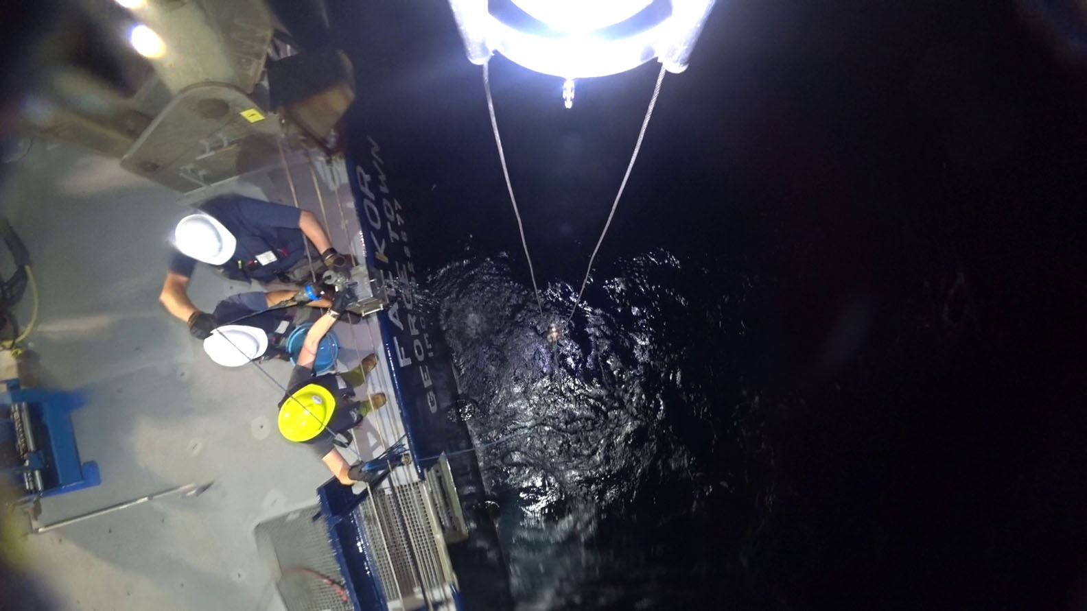
During the Ice Age Geology of the Great Barrier Reef expedition, we have systematically mapped almost 400 km of drowned Ice Age coastline in the southern Great Barrier Reef. R/V Falkor’s multibeam sonars have revealed a diverse array of coastal landforms—including beaches, storm ridges, dunes, past river channels, deltas, contourites (sedimentary bedforms), and ooid sand shoals (similar to those seen in the Bahama Banks today), fringing coral reef terraces, and pinnacles. As well as the multibeam mapping, we had fun collecting seafloor sediment samples to ground-truth what we saw in the bathymetry and sonar backscatter data.
The voyage is coming to an end, but the science is just beginning. Over the coming months and even years, we will be analysing and interpreting these data to inform new models of southern Great Barrier Reef geological evolution and paleo-environmental reconstruction. A better understanding of the past helps us predict and plan for future environmental change and how the reef ecosystem may respond. Our longer-term aim is to return to this region to undertake more geophysical and geological sampling, including taking long coral cores through these ancient reef terraces. With those data, we can analyse the geochemical signatures of past oceanic and atmospheric conditions and place better age certainty on the timing of these phases of reef growth and sea-level cycles.
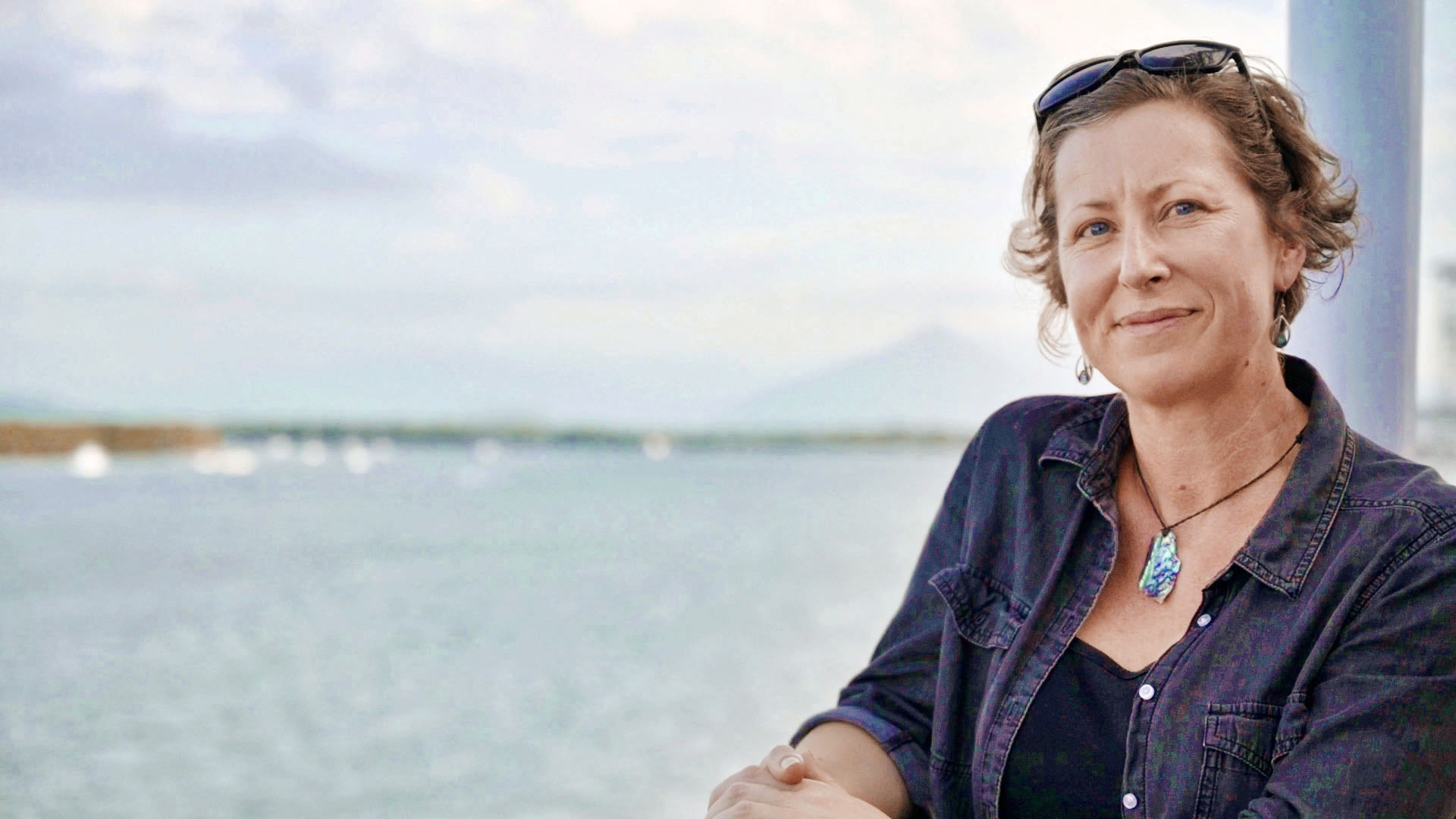
As we sail closer to my home port of Brisbane, so ends an epic personal journey, encompassing 110 days at sea onboard R/V Falkor. It spanned three different expeditions and the entire length of the Great Barrier Reef (from the northern tip of Cape York to the southern reaches off Fraser Island, and eastward out to the platform reefs of the Queensland Plateau). I have lived and worked on board Falkor for almost four out of the past five months and worked with some of the best marine scientists and research vessel crew. I truly have the benefit of standing on the shoulders of giants, those marine geologists who explored the Great Barrier Reef in previous generations and who have paved the way for these modern expeditions. I am grateful to all of my colleagues, collaborators, supervisors, and mentors from whom I have learned so much. And, of course, to Schmidt Ocean Institute for the opportunity to explore these hidden parts of the Great Barrier Reef in support of our scientific endeavours.