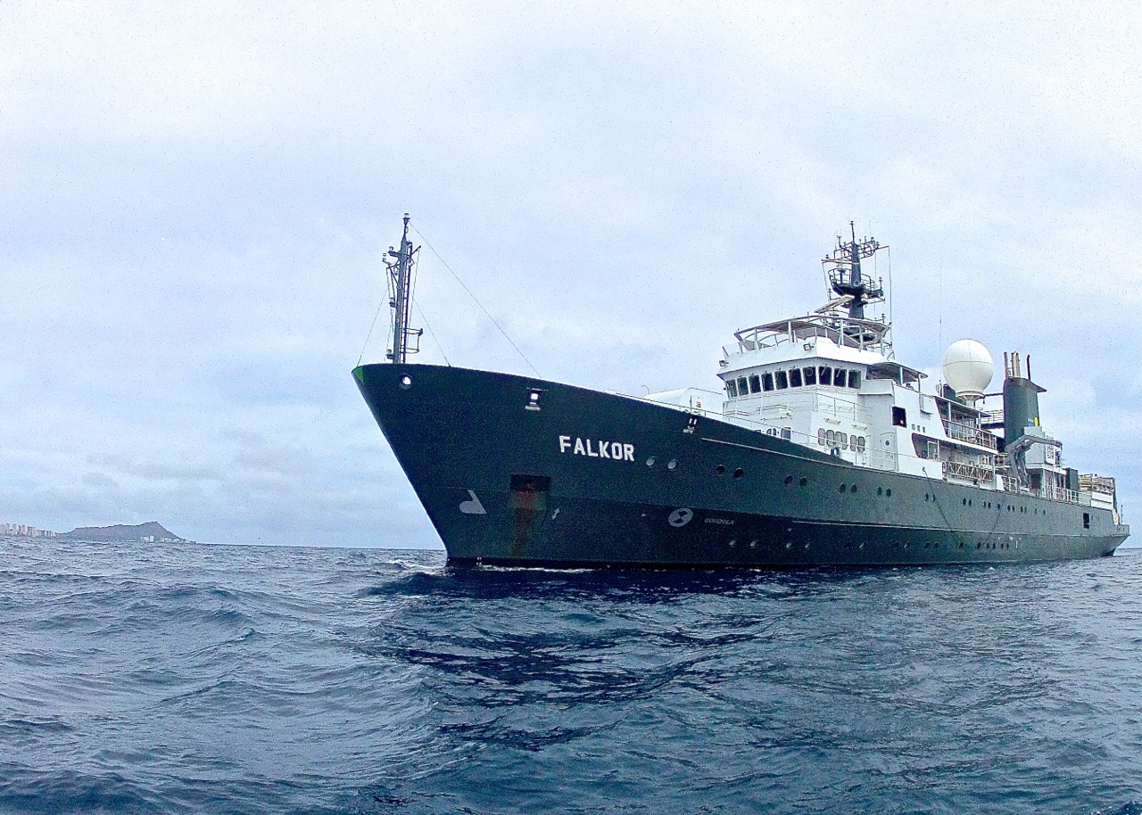
Open sharing of data collected aboard Falkor is an integral part of the Schmidt Ocean Institute mission, but sharing data efficiently and accessibly is challenging.
To better accomplish this mandate, Schmidt Ocean Institute is now partnering with Rolling Deck to Repository (R2R) and the Marine Geoscience Data System (MGDS). Both programs were created to ensure maximum access to standardized data from oceanographic expeditions, and are led by Columbia University’s Lamont-Doherty Earth Observatory (LDEO) in collaboration with partner institutions. Schmidt Ocean Institute is also developing an underway data page for the SOI website for displaying information from keyFalkor sensors and equipment in near real time.
Modern Data Challenges
In the 1950s, Russian scientists on a global oceanographic expedition discovered surprisingly large amounts of organic material buried at the bottom of a deep ocean trench. Unfortunately, their data were lost in an obscure Russian journal and not rediscovered for decades. Today, scientists have returned to exploring this phenomenon, which has significant implications for ocean biogeochemical cycles, only having recently benefited from that historical perspective.
The lost Russian data are an extreme example of inaccessibility, but not too far from the past norm. One problem has been that, historically, the onus was on individual oceanographers to process and submit the data they collected to archives. And for some data types, appropriate archives did not exist. Many datasets never made it into public repositories, and those that did suffered from too much variability in quality and format to enjoy wide use. To expand data dissemination and usability, the focus has more recently shifted toward ship operators submitting cruise data, which Schmidt Ocean Institute supports.

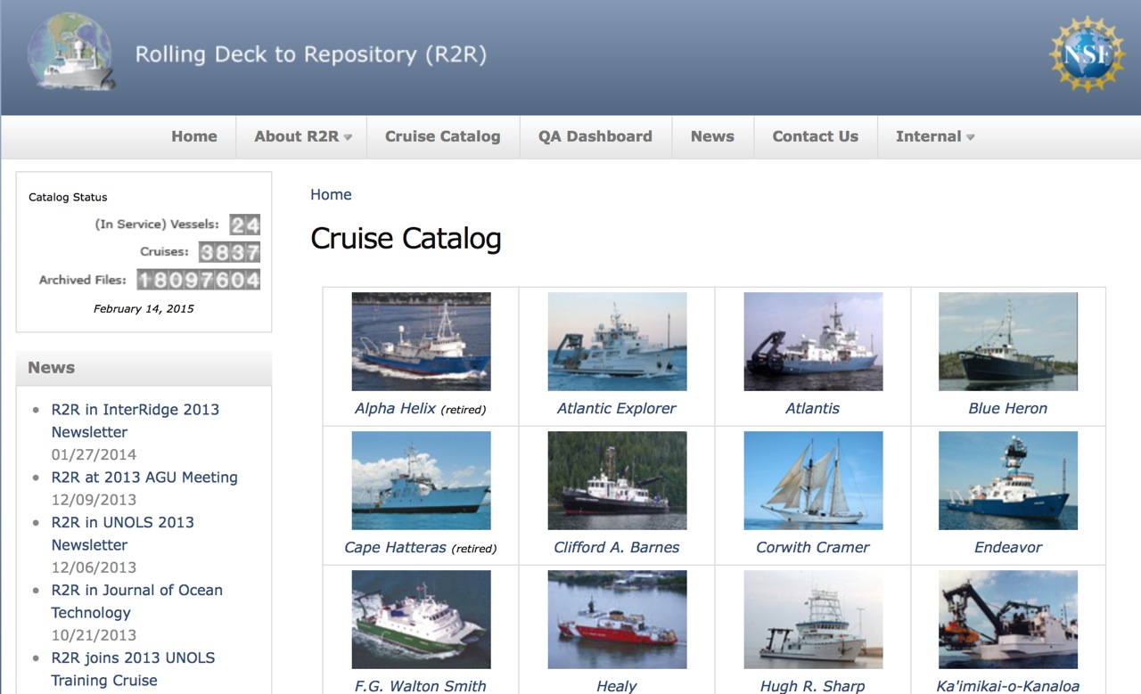
Within the oceanographic community, several ship operators have had a long tradition of routinely archiving the underway data from cruises and submitting data to long-term archives. But about five years ago, this activity was expanded to include all operators of academic research vessels in the United States with the launch of the Rolling Deck to Repository program
Going Public
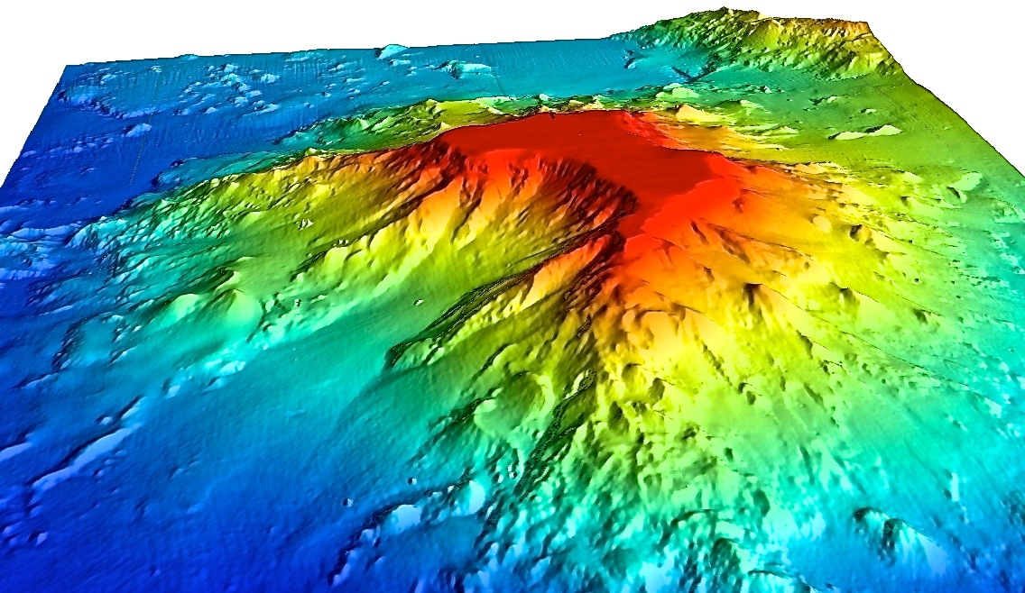
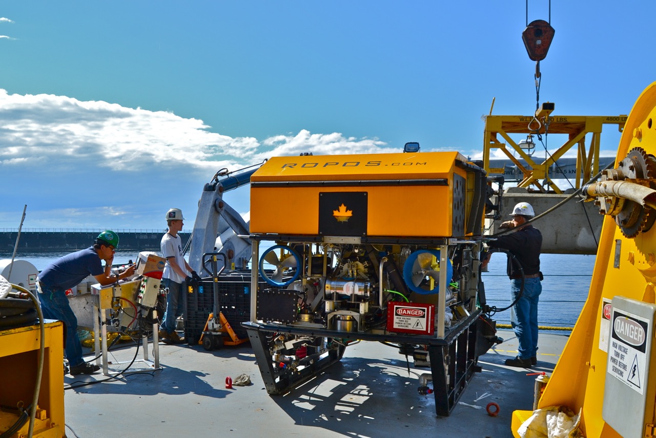
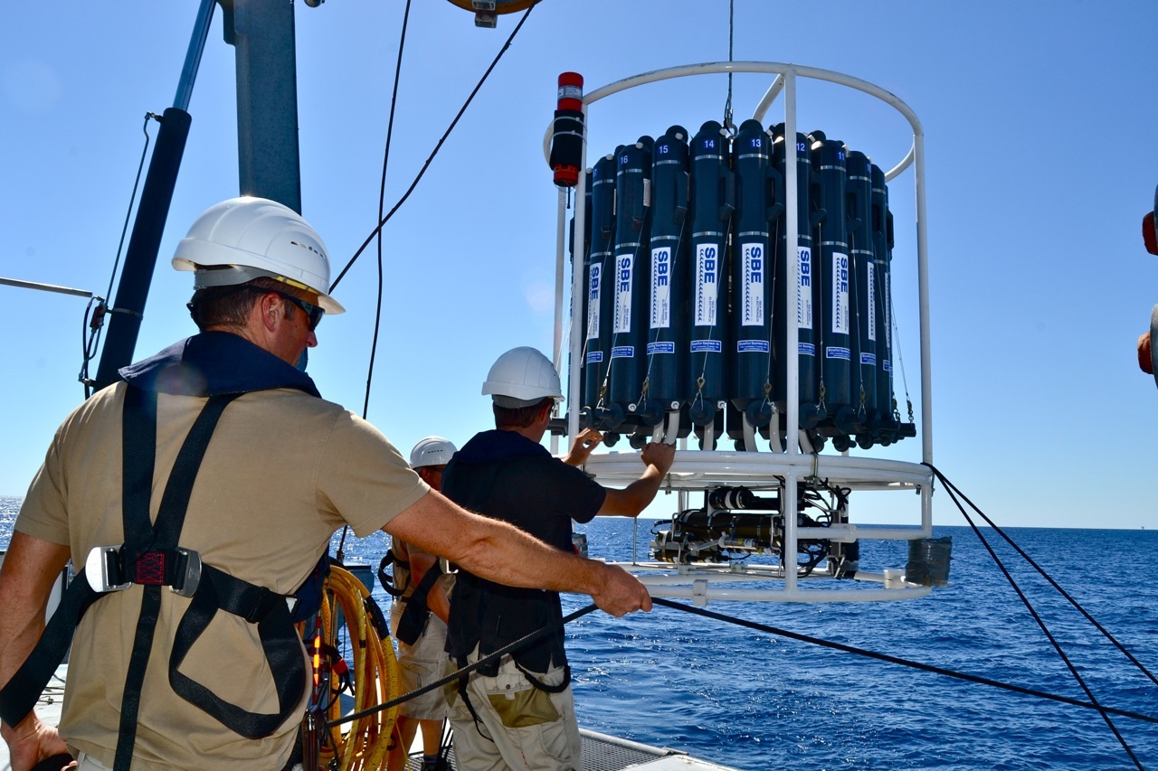
R2R handles data from the sensors that are operated routinely on most research vessels while they are underway, and maintains a master catalog of cruises. For Falkor, that will mean raw data from the ship’s sonar, meteorological sensors, the satellite navigation system, and other instruments such as water column sensors. MGDS curates specialized instrument data, such as that from remotely operated vehicles, and from sensors and equipment that scientists bring onboard for individual cruises. The Center for Coastal and Ocean Mapping at the University of New Hampshire will be processing Falkor multibeam sonar data to convert them into high-quality bathymetry maps that will go into MGDS, which also submits maps from all partners to Google Ocean.
The National Science Foundation (NSF) provides most of the funding for these data systems, which support the U.S. academic fleet. The Office of Naval Research (ONR) and the National Oceanic and Atmospheric Administration (NOAA) provide support as well. Falkor will be the first private vessel involved and will cover its own costs for inclusion.
Uniform Efficiency
The R2R and MGDS teams have designed data processing protocols for quality assessment control, cataloguing, and presentation. “We have a stable suite of tools,” says Bob Arko at LDEO, technical director of the R2R program, “But we are always listening to the community and evolving them.”
This uniformity between datasets vastly increases the value of data for researchers because it makes it easier to find needed information. Data can also be distributed more easily for other applications, such as the MGDS distribution to Google Ocean.
Schmidt Ocean Institute has contracted with LDEO to begin processing data from all Falkor expeditions and transits between ports this year as they are completed. Simultaneously, the LDEO team will work with data from past cruises, beginning with 2013, and move forward until everything is processed. The webpage for each Schmidt Ocean Institute cruise will include a page with links to processed datasets [See sample cruise dataset at MGDS here].
Besides appearing in easily searchable forms grouped according to expedition, data from R2R and MGDS will also go to the country’s key long-term data archives intended for centuries of preservation—the National Geophysical Data Center (NGDC) and the National Oceanographic Data Center (NODC). And for each dataset published, digital object identifiers (DOIs) will be added, an increasingly common tool for citing research information sources.
Quick Draw
In a related effort, Schmidt Ocean Institute is working with Capable Solutions to set up a new data “dashboard” page on the Schmidt Ocean Institute website where Falkor data will be displayed in near real time.
The dashboard is powered by Open Vessel Data Management (OpenVDM), which simplifies the task of consolidating and organizing collected data. Among other capabilities, OpenVDM processes certain datasets into forms easily visualized on the webpage, and compact enough for satellite transmission to shore every 15 minutes. “We’re trying to simplify a very, very complex problem,” says Webb Pinner, Capable Solutions’ owner.
Besides offering easy access to data, and allowing science teams and the public to follow expeditions more closely, the rapid data displays will also make it easier to spot problems with sensors. As an added benefit, OpenVDM’s data organization complies with R2R and MGDS recommendations, streamlining the process of getting data from Falkor to these repositories.
Check back at the site or follow our social media accounts for updates as new processed data resources become available.