After my first science expedition last summer, it was clear I would pursue more opportunities to return to the open ocean. The adventure of exploring uncharted territory, the collaborative spirit of working side-by-side with scientists, the sense of community where every member has purpose and value in daily operations, the challenge of creating art on a moving ship: It all coalesced into an experience of a lifetime. When Schmidt Ocean Institute initiated their Artist at Sea program, I jumped at the opportunity to join them.
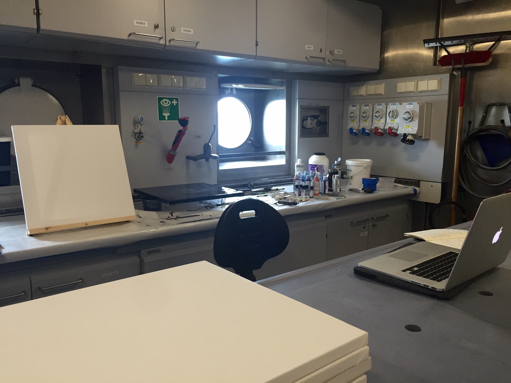
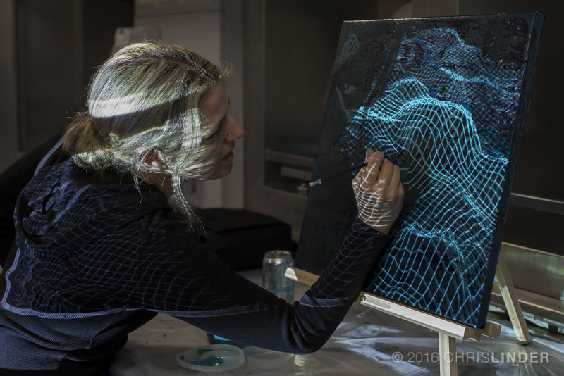
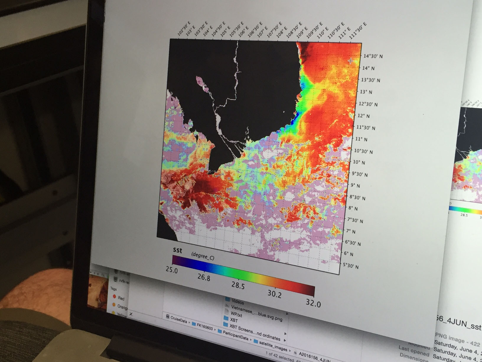
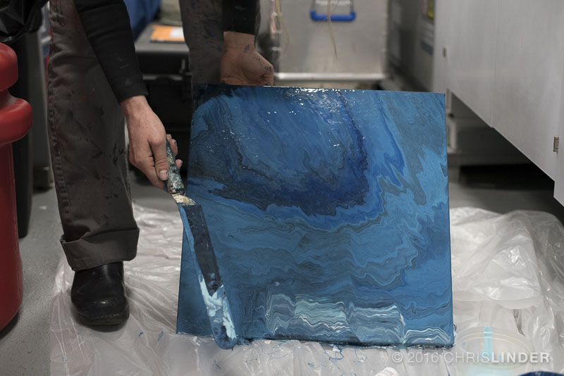
During this transit from Vietnam to Guam, I will incorporate recently compiled data – as well as new information yet to be discovered – into layered, acrylic paintings on canvas. I have set up a temporary studio in the wet lab of the ship, an ideal space to spread out and get my hands dirty. I will be working with an abundance of data that was collected and used on the last cruise, A Changing River, which measured nutrient fluxes of the Mekong River as it flows into the South China Sea. This data set includes satellite imagery highlighting the river plume, CTD (conductivity – temperature – depth) water measurements, as well as microscopic images of the phytoplankton present in the water which reveal fascinating diatom forms. I have always been interested in the micro/macro relationships that exist in nature, and the fractal patterning that occurs on various scales. While I am not certain how this or other data will weave its way into my work, that is part of the exploration and journey that will ensue in the coming days and a key part of the artistic process.

Another area of great interest to me is in geology, maps and the undercurrents that shape our world. As I have done in the past, I am eager to incorporate new sea floor maps collected by the Falkor’s multibeam sonar system, the Konsberg EM 302, into paintings I create on board. The sonar system uses pings, or sound pulses, to measure the depths of the ocean floor. As we move into international waters in the latter part of the transit, we will be using the multibeam sonar technology to reveal a detailed map of never-before-seen ocean floor bathymetry.
Bathymetry studies the depths and shapes of underwater terrain – the underwater equivalent to topography. The most dramatic features on our planet – from trenches and walls to seamounts and submarine volcanoes – are hidden on the ocean floor and have a direct impact on the water bodies above them.
The sonar data we collect will be processed in a 3D visualization program called Fledermaus to reveal this bathymetry. This software will allow me to move through the sea floor data and find compelling angles to work with. I will then overlay these “hidden landscapes” into my paintings. It is exciting to be able to work with this cutting edge technology to enhance the work I create. Just as areas of science can benefit from the communicative nature of the artist’s work, the artist can benefit from technology in their own process.
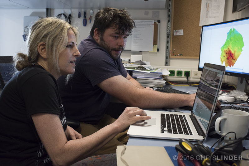
I am fortunate to have the support of the Falkor team on board, in particular, the assistance of Lead Marine Technician, Leighton Rolley, who is working with me to sort through the tremendous amount of data and maps to provide me with the resources I need.
We know more about the surface of the moon and Mars then we do our own oceans – we’ve only mapped about 10 percent of the ocean floor in high resolution. To be part of research and exploration that can help us gain a better understanding of the surface of our own planet, the natural resources that exist, and the potentials and hazards of geologic activity that could impact us is rewarding to me. To share these hidden worlds through my paintings feels meaningful.
I am at heart someone that seeks adventure and new perspectives. There is something so peaceful and overwhelmingly humbling about being out at sea. As we get ready to depart Nha Trang for the open sea, I know I can expect to learn a lot, shed light on some of the scientific discoveries through my art, and grow as a person through this experience.