Over the past several days, I have gotten into a pleasant groove on the ship and with life at sea as we transit over smooth seas through the Philippine Islands and into the Northwest Pacific Ocean. My days are filled with art making, writing, exploring and interpreting science data, taking in the views, and getting to know the wonderful and capable individuals that make up the Falkor crew.
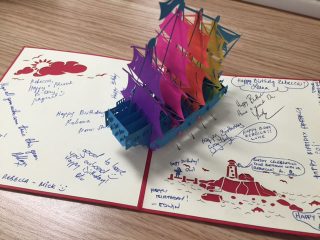
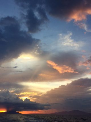
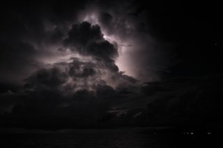
On a personal note, nothing exemplifies the crew’s welcoming nature better than having the chance to celebrate my birthday on board. Even as a newcomer to the ship, throughout the day members of the crew showed up in the wet lab to offer well wishes. This was followed by a beautiful cake prepared by the chefs and a card signed by the crew. The day was capped off with a glorious sunset over the Philippine Islands, and a lightning and star show later that evening.
The Known And The Unknown
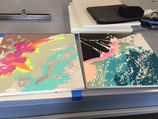
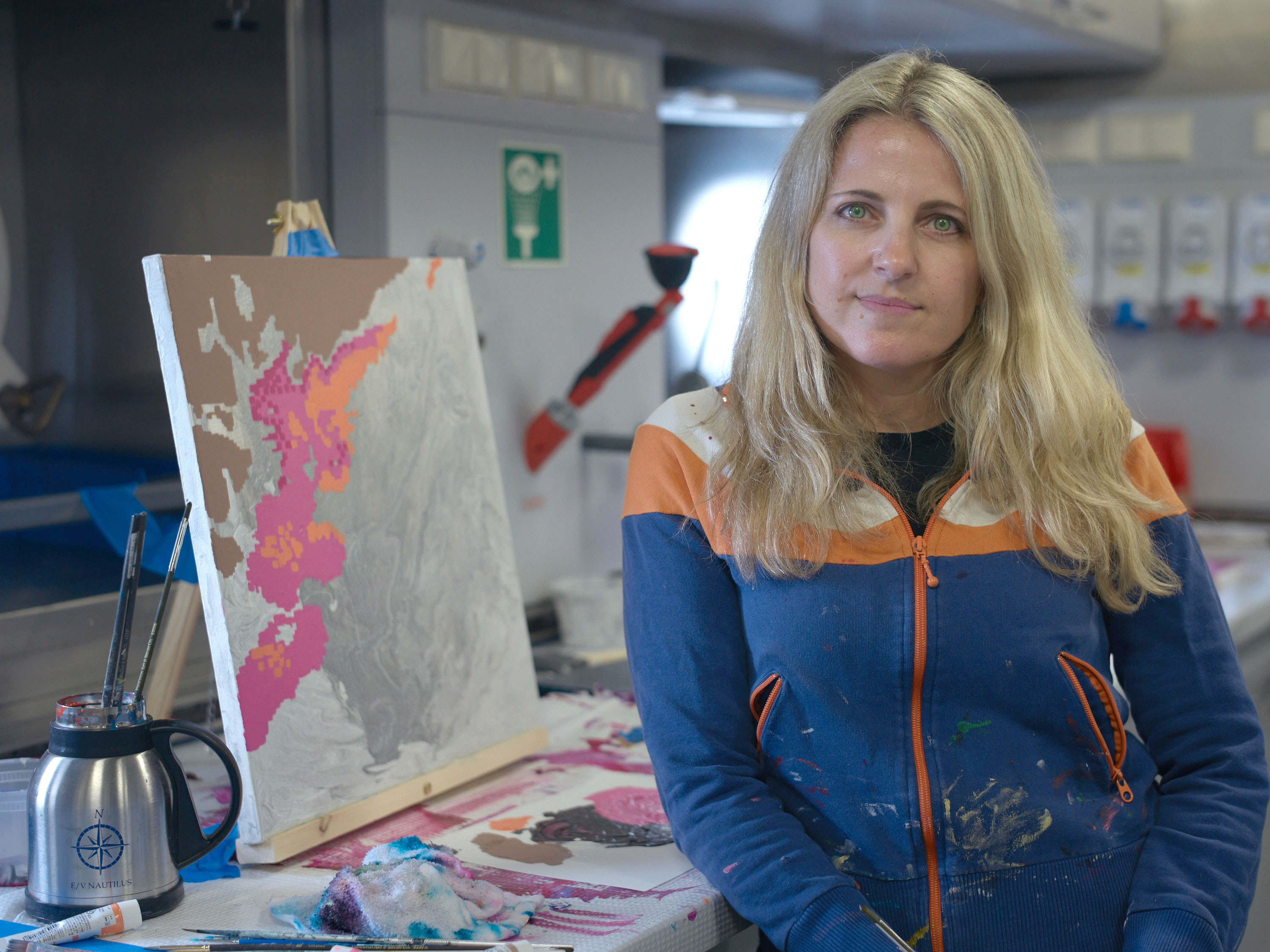
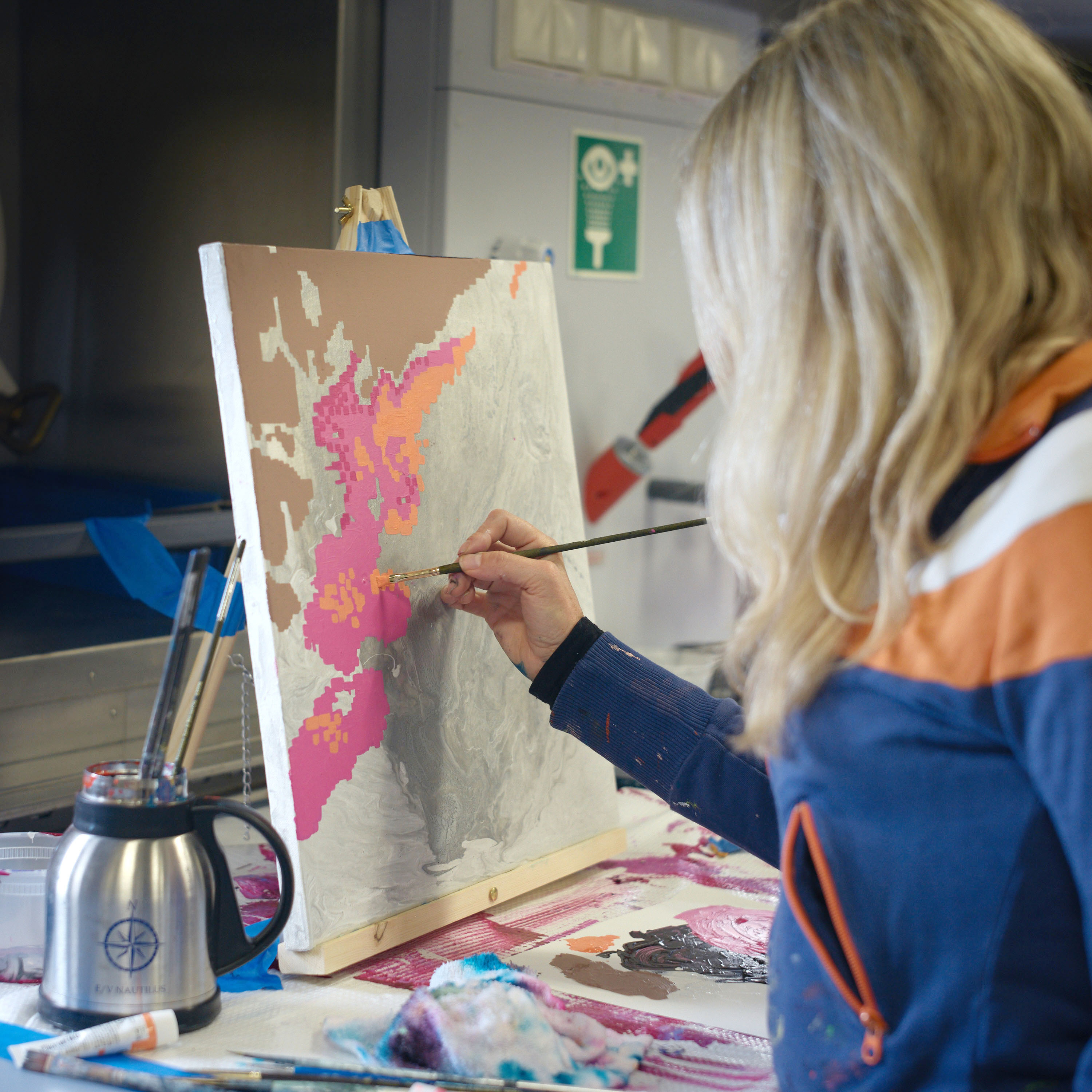
As I have spent time sifting through the data from the last cruise, I find myself drawn to the satellite images collected that help identify the location of the Mekong River plume as it disperses into the South China Sea. There are two types of satellite images, one that highlights a difference in sea surface temperature (the river waters are colder than the sea) and one that pinpoints a higher concentration of chlorophyll (the plankton produce chlorophyll so higher levels would indicate the location of the plume). These satellite images serve as a tool for the scientists when selecting locations to take their water samples. As an artist, I see them as subject matter for a new body of work. There is beauty in the forms of the plume and the patterning created. The maps are also compelling in their absence of data as much as the data revealed. When there is cloud cover, the satellite imaging can’t penetrate so they remain blank areas in the picture. Furthermore, as you zoom in you see the pixelization that occurs because of the distance the satellite has to travel. I found it interesting to recreate the pixelization in paint, and to reimagine color beyond the primary colors typically chosen to present scientific data.
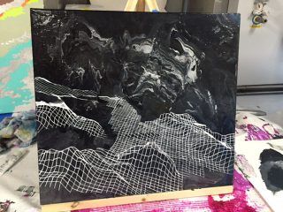
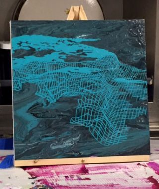
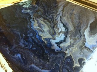
The absence of information about the ocean is also telling when looking at how big the ocean is. I have had the opportunity to view the sonar mapping data collected by Falkor in Greenland, the Mariana Trench, Tonga and at Tamu Massif, allegedly the largest volcano on Earth. While the Falkor has covered a lot of ground, more than 90% of the world’s oceans remain to be mapped in high resolution. In creating paintings using the multibeam sonar data, I attempt to reveal these hidden landscapes, but also allude to these vast unknowns. As a starting point for these paintings, and in response to the ship’s rocking motion, I pour paint suspended in medium and let the pigments disperse into swirling patterns, interestingly not dissimilar from the satellite images of the Mekong River plume.
Looking Ahead
It has been said that exploring the deep ocean is like standing on the edge of the Grand Canyon in the dark. The artist can turn the light on. I see art making the invisible, visible, and communicating scientific ideas in a visceral way that can reach a broader audience. Now that we have entered international waters, the multibeam sonar system is pinging away, imaging the seafloor as we pass over it, and filling in a little bit more of the vast puzzle of the world’s oceans. I will now look to incorporate some of this new data into the final paintings I create during my time at sea.