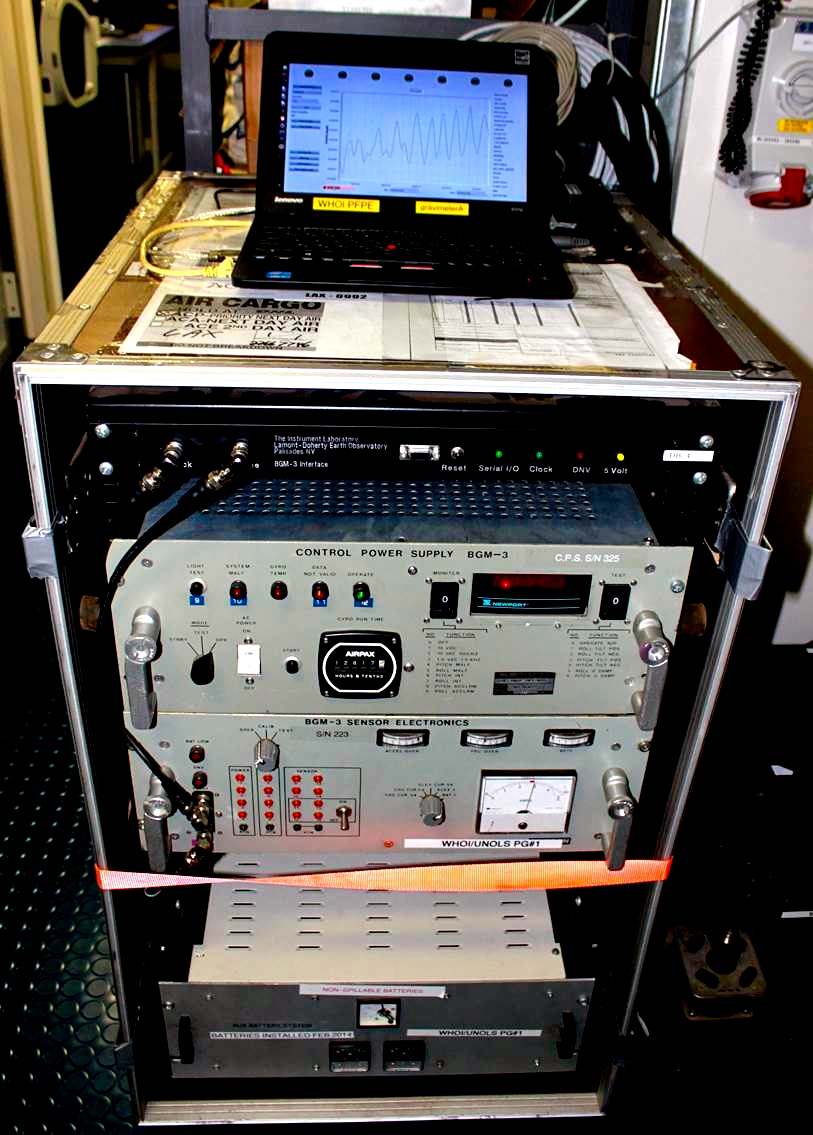
Thanks to funding from the National Science Foundation, Falkor is currently equpped with a technological wonder known as a gravimeter. This instrument, leased from Woods Hole Oceanographic, effectively measures the weight of Earth down to the core at specific points. After processing, such data can provide a wealth of geological information.
The gravimeter, about the size of a steamer trunk, uses magnetism to suspend an internal metal cylinder, and measures changes in the way gravity pulls on that cylinder. Many people are familiar with the fact that acceleration from gravity—for instance if you jump out of a plane—is 9.8 meters per second squared. Measured in milligals (mGals)—a common research unit for gravity—that’s 980,000. Remarkably, the gravimeter can detect changes as small as 1 mGal—or roughly one millionth of gravity’s total pull.
The researchers aren’t interested in that total pull, though; they’re interested in learning about the seafloor. So they process the data coming in to subtract out all the normal weight of Earth below them, which is relatively constant, as well as the weight due to topography, which they get from the sonar mapping.
What they are left with are differences unique to a given spot. The islands, as you might expect, are filled with the remains of ancient coral reefs—which take the form of relatively light carbonate rock. Using gravity data the team will be able to essentially remove those coral remains to “see” what the geological features below look like. An example of the type of feature the gravimeter can reveal is the fissures on volcanoes known as rift zones where magma comes through during volcanic eruptions. Such fissures are naturally denser than the surrounding rock layers, and yield a stronger and more positive gravity signal.
Ultimately the team will be able to use processed gravimeter data to answer a variety of questions about the geological history of the region and where features of special interest can be found.