Have you ever been in the ocean, walking in waist high water and suddenly stepped off into a hole or a steep decline? That is a small model of bathymetry!
Bathymetry studies the depths and shapes of underwater terrain. In other words, it is the underwater equivalent to topography. It is easy to imagine only flat beds of sand and occasional reefs lying under the ocean, but that could not be further from the truth. The ocean’s floor is as complex as it is deep: huge trenches, walls, flatlands and seamounts fill the seascape and have a direct impact on the water bodies above them.
Applied Bathymetry
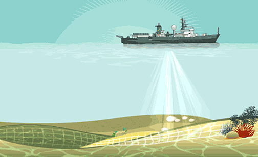
By conducting a survey very similar to a medical ultrasound, scientists are able to image the sea-bottom. Bathymetric data can be applied in several ways, from water transportation or biological oceanography to the study of climate change. But for the geophysics team onboard ofR/V Falkor there are two very important questions which bathymetry can aid answer.
First, how much have the tectonic plates on the western coast of Sumatra deformed? Doctor Satish Singh, co-leader of our current expedition, demonstrated that the plunging (or downgoing) subducting plate breaks, bends and reforms as it subducts, possibly rupturing a part of the oceanic plate during large earthquakes. These deformations have a direct impact on the possibility of a tsunami after a great seismic event in the area.
Secondly, what is the shape of the terrain through which a tsunami would travel before reaching the coasts? As a water body advances towards land, it faces different depths and obstacles that determine its force and distance traveled. In order to estimate the inundations that would follow a tsunami on Sumatra, scientists need to image such obstacles.
From Sinking Ropes to High-Definition 3D
Centuries have passed since the first methods were developed to conduct bathymetric surveys. In ancient times, scientists would throw a heavy rope over the side of a ship and record the length necessary to reach the seafloor. But today, together with the use of its advanced Global Navigation Satellite System, R/V Falkor’s multibeam survey will result into a very detailed 3D view of the features and shapes of the ocean’s floor next to Sumatra.
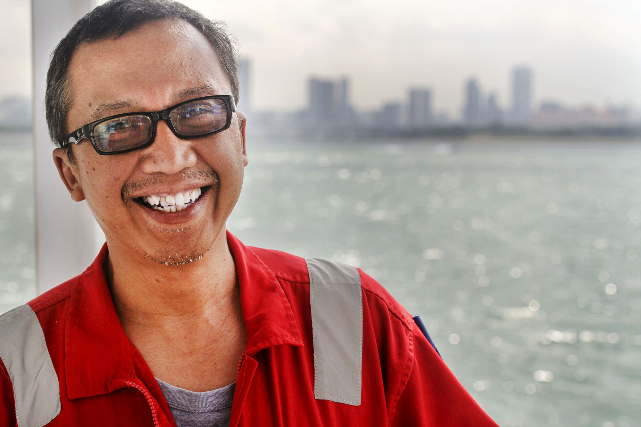
Praditya Avianto, a technician of marine geology at the Indonesian Institute of Sciences, can barely wait for R/V Falkor’s multibeam sonar system to begin producing data on the Sunda Megathrust. As he draws lines on his notebook portraying what could possibly be found, he emphasizes that the bathymetry already collected on the area is incomplete. He has been working with multibeam echosounders for 15 years, but mostly at a maximum depth of 1000 meters. The trench is around 5000 meters deep and R/V Falkor’s tools have the capability to take him there.
“What will it look like? It’s very exciting!” he says as he opens his laptop to load previous bathymetric maps of Sumatra’s coasts. It takes a while for an inexperienced eye to make sense of the complex image. But soon shapes start to reveal themselves, and imagination floods them with ocean water. Avianto zooms in a specific area of the map, and as he does, new wrinkles and dimples appear on the underwater skin. “Look here, see the level of detail? That’s what we need.” As soon as he pans to the right the details disappear, leaving only a blurred, inaccurate texture onscreen.
That is what R/V Falkor is here to fix. Unreliable data would reflect on defective emergency plans on the face of a new tsunami. Soon we will be scanning the depths and Avianto’s sketches will be put to the test.