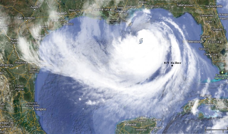
Two action packed days have passed since the Falkor left port on Saturday evening. Despite a shifted storm track, the ship remains outside the most severe weather associated with Tropical Storm Isaac. The ship is currently ‘sneaking up’ behind the storm and heading towards the first ROV dive site, having avoided the storm’s track over night by staying to the southwest.
Chief Scientist Peter Etnoyer woke up at 5 am to check the ship’s progress on the monitor in his room. “As we turned from a southwest bearing to a southeast bearing north of the Yucatan peninsula, I noticed several other ships on the radar taking the same route to stay safe and away from the storm” he said. “For me, that moment validated our navigation strategy”
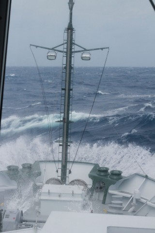
With the storm to the northeast, the ship has faced rough seas throughout the day, with waves of 2.5 to 4 m (8.2 to 13.2 ft). The swells have been coming from multiple directions due to constantly changing winds, a condition referred to as ‘confused seas’. 2nd Officer Thiago Da Silva explained, “in the afternoon we experienced westerly winds and shorter swells, but we also felt the effects of residual swells from the last 48 hours as the storm passed through this region. The wind conditions are changing faster than the swells can keep up.”
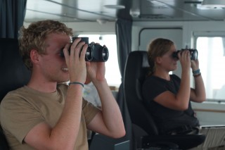
The weather conditions are keeping the ship’s crew very busy. Up at the bridge, navigator Paul Shepherd worked to ensure proper weather routing throughout his afternoon shift. According to Paul, weather routing involves “professional guess-timation” in order to go towards a storm while ensuring that the storm has actually passed and this requires both “technology and experience”. The ship cannot rely on internet alone, so the technology and information he used includes so-called ‘official’ and ‘unofficial’ sources, including satellite-based communications service Inmarsat-C.
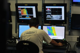
Meanwhile, the ROV team is working hard to prepare the ROV for deployment, taking on board the issues that were highlighted during the load test in the dock at St. Petersburg, Florida. The science team is developing contingency plans to collect useful information in rough weather. Deployment of the ROV will have to wait until the weather conditions are calmer, but the research team expects to start water chemistry and mapping operations as soon as the ship reaches the dive site tomorrow evening. Everyone anticipates the start of science operations by making collection logs, designing CTD casts, and getting sample bottles ready.