The sea is constantly changing, and today, it was a shift toward the rough side, as the forecast for gale force winds proved accurate. Work continues, but with a few further shifts to plans.
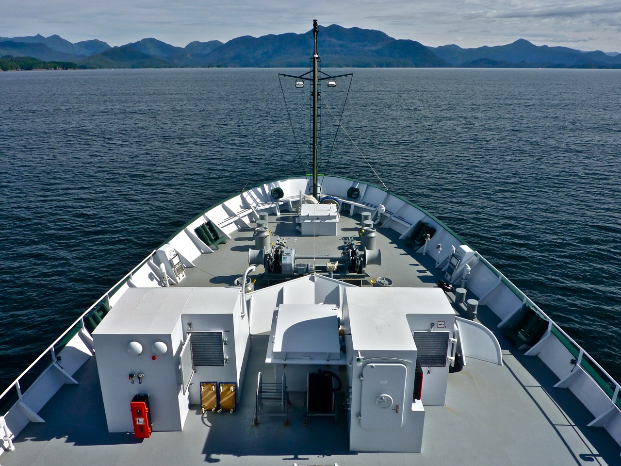
Until today, seas had been calm, making it easy to climb the four decks up to the observation platform to watch whales, dolphins, seabirds and sunsets. Near shore, the waters are opaque and green thanks to the phytoplankton that form the base of most marine food webs and that perform, through photosynthesis, the vital role of taking up carbon dioxide from the water and breaking it down to produce oxygen. Lowered equipment disappears from view within a few meters of the surface.
Offshore, past the break of the continental shelf, the ocean is remarkably clear and takes on a very different color as the waters absorb reds and reflect back only blues. During previous days as the team lowered the CTD rosette from the stern, they could often still see it even 30 meters down.
But that was with calm conditions. Today, as the winds picked up, eventually reaching the 35-knot range, the seas built and the water’s surface became a “feature rich and bumpy affair,” as Richard Dewey puts it, with the clear blue now a mixed-up gray. Few were venturing up to the observation deck.
After finishing a long run of Moving Vessel Profiler surveys offshore, the plan called for some welcome time working in the protected waters of Barkley Sound as far in as Effingham Inlet. There, other researchers working earlier in the summer spotted signs of higher oxygen water replenishing the deeper reaches. The goal today was to better understand the extent to which shelf and coastal waters reach into Barkley Sound and the deep inlets such as Effingham by running an MVP survey all the way out.
The mountain views made it hard to leave. “We all dream of the day when we might return for sailing, kayaking, or camping among the islands of the Broken Group,” says Dewey, referring to a cluster of islands in the middle of Barkley Sound that are part of the Pacific Rim National Park Reserve.
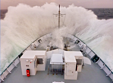
By mid-afternoon, Falkor was beyond the land’s protection again and seas were rough enough to frequently wash even some of the higher portholes with water. CTD work continued for a time, but finally had to be suspended because the ship’s jumps were putting too much strain on the cable with the heavy rosette suspended below. But the forecast calls for everything to calm quickly, and normal operations should resume by tomorrow.
For now, the team is getting some sonar mapping done and continuing work with the MVP. The goal is to survey some parts of that front that sets up the California Current to see how variable it is by comparing new data to that collected earlier. The work is relatively comfortable as Falkor makes her way directly into the wind. But later, they’ll have to turn to the southwest, putting the ship in the most uncomfortable position—in the swell’s trough, meaning lots of side to side rolling and a good test of how well everything has been secure.
Few brave the climb to the observation deck under these conditions, but those who did this afternoon were rewarded. The waves crashing against the bow were spectacular, and powerful enough to sling water four decks up. And there were humpback whales playing in the waves just a few hundred meters from the ship, clearly not bothered in the least by the sea state. Some of the humans weren’t as well adjusted, but as Dewey decided, “It’s always a good time to whale watch.”